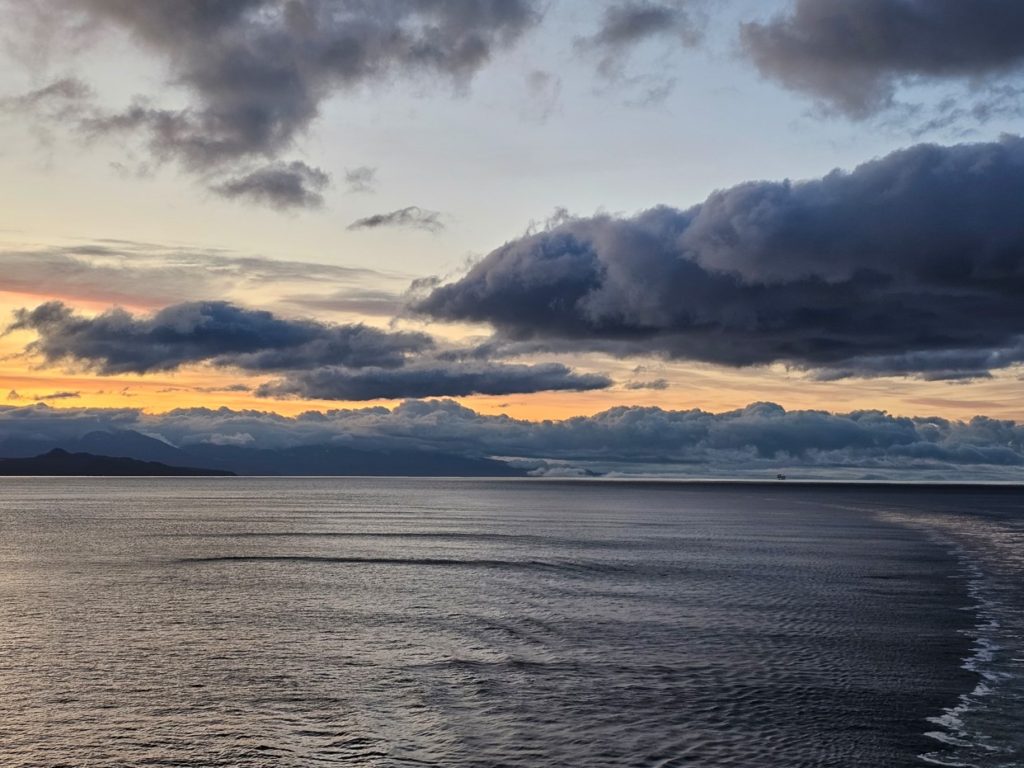
After we left Glacier Bay we sailed out into the open ocean for the first time, and it got a little rough that evening, overnight and a little bit into the morning. In our bed we were definitely swaying front to back and side to side, the rocking was substantial! Walking down the hallway was an experience – it literally threw us from wall to wall, side to side! I didn’t get seasick, but MJ got a little queasy for a bit until she put on a seasick prevention bracelet.
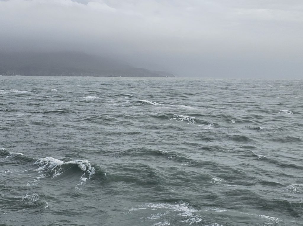
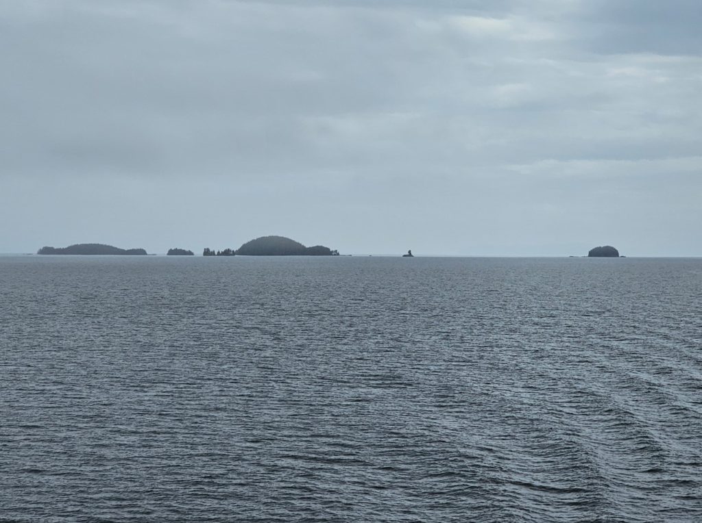
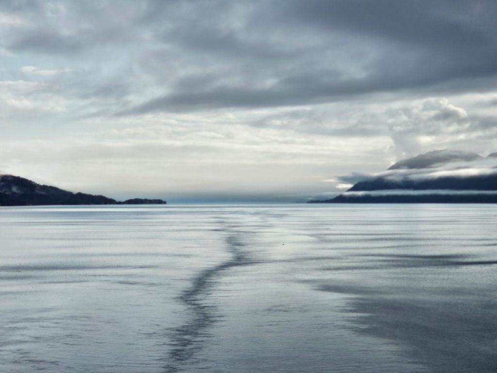
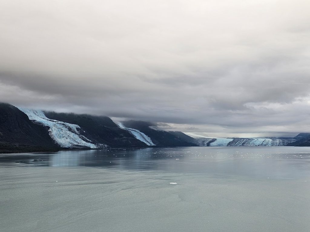
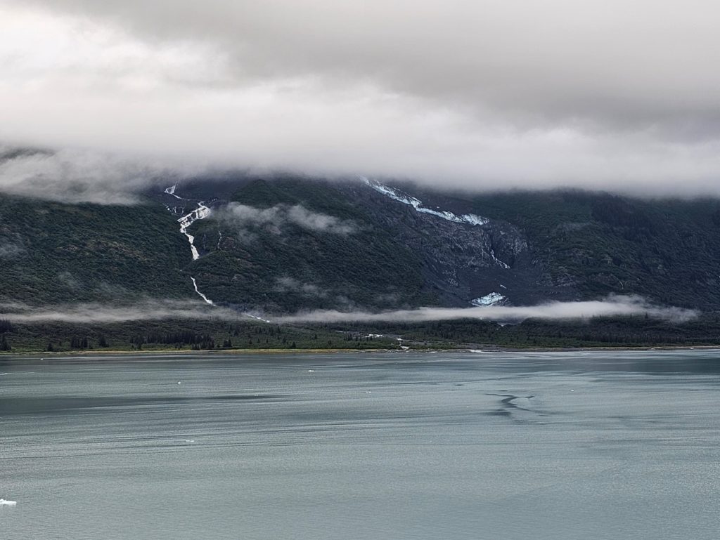
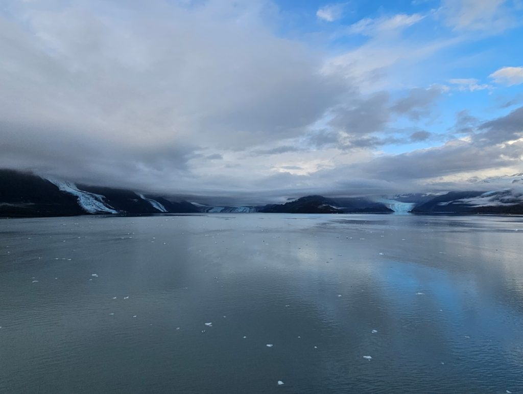
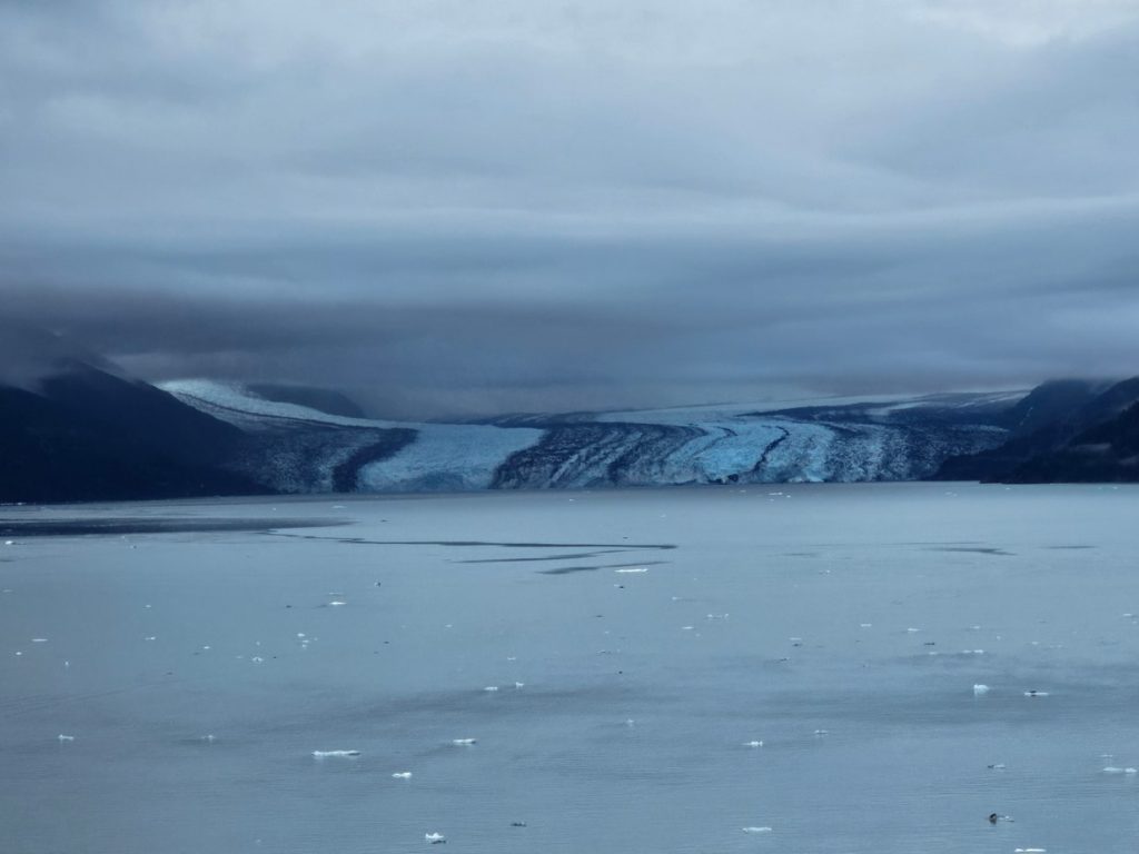
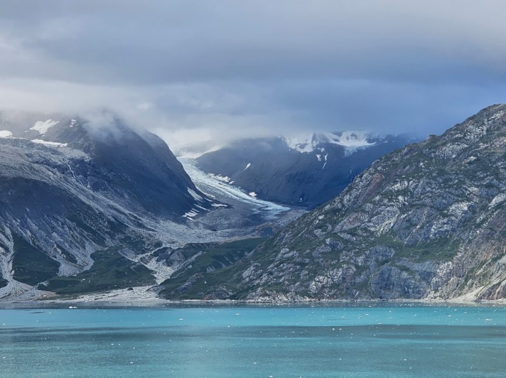
This water doesn’t look like enough to throw us around but it did!The next morning we arrived in Prince William Sound, which was very smooth and calm. If this would have been a clear sunny day Prince William Sound would have been beautiful! It is really neat with all these little islands in the water, and the mountains in the background!More Prince William Sound. This is where the Exxon Valdez oil tanker ran aground into a reef in 1989 and spilled some 11 million gallons of crude oil into the sound. It eventually polluted 1,300 miles of Alaska coastline. Investigations determined that the ship’s captain had been drinking before the accident.Entering the calm waters of College Fjord on a dark cloudy morning.Wellesley Glacier. Being named College Fjord, the glaciers are named for elite eastern colleges.Three glaciers in one picture (left to right): Bryn Mawr, Smith and Harvard.Frozen waterfalls.Four glaciers in one picture (left to right): Bryn Mawr, Smith, Harvard and Yale. The skies tried to open up for a minute to show a little blue!Harvard Glacier.Yale Glacier.
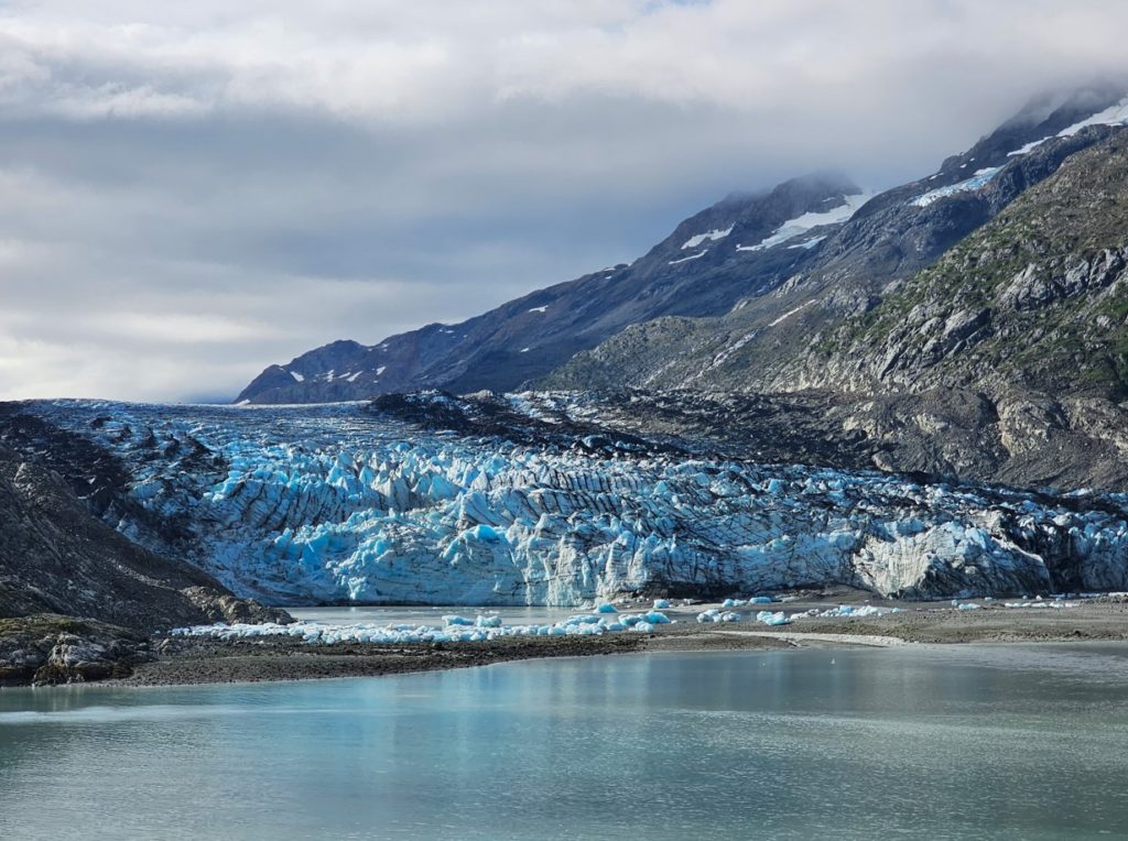
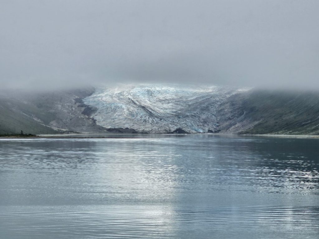
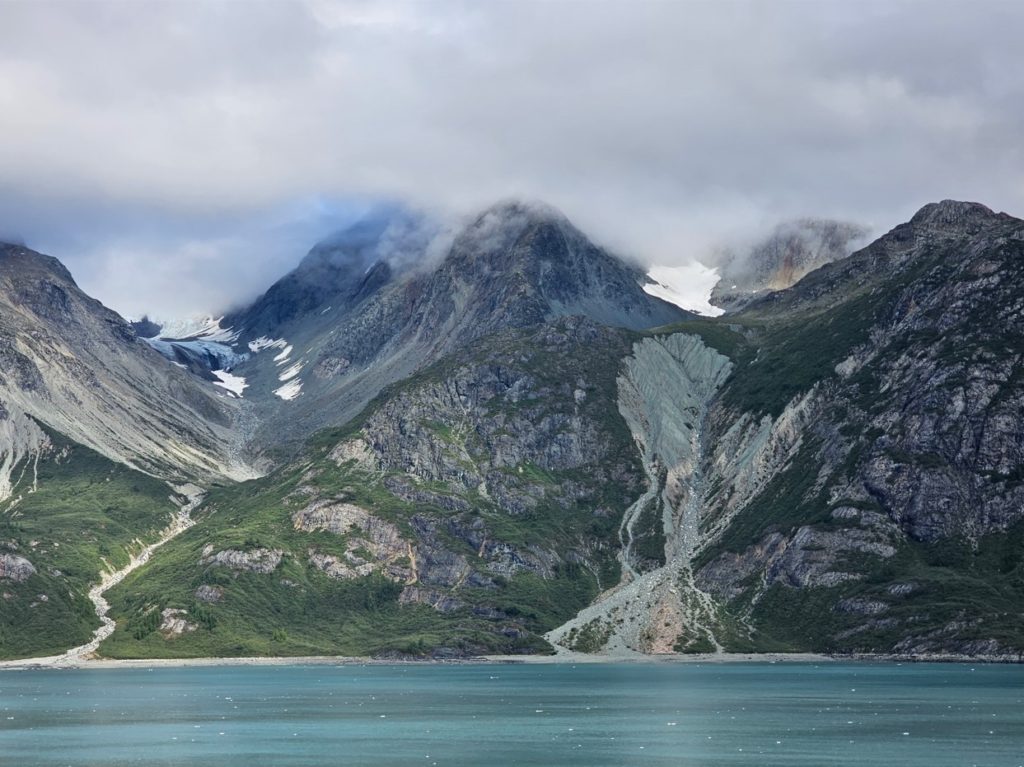
Glacier Bay National Park is the highlight of all Alaska cruises. It is absolutely beautiful! There are several large glaciers in Glacier Bay. Unfortunately for us, we did not get to see Margerie Glacier, which is the tallest at the water – over 200 feet. We did get to see others, including John Hopkins Glacier and Lamplugh Glacier.
In 1680 there was no Glacier Bay, it was a broad river valley with a Tlingit village. During the Little Ice Age from 1680 to 1750, the glacier grew and covered the valley and even went out into the Icy Strait. When the glacier receded from 1750 to 1880, it had gouged out Glacier Bay. Today the glaciers are 65 miles up the bay from the Icy Strait.
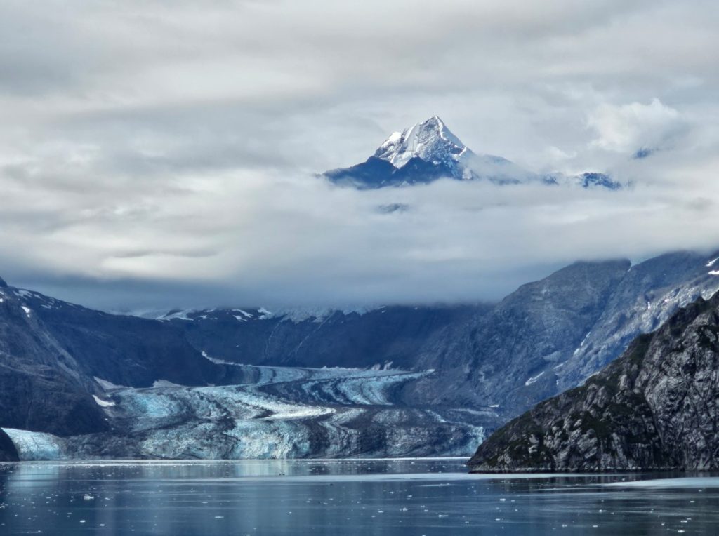
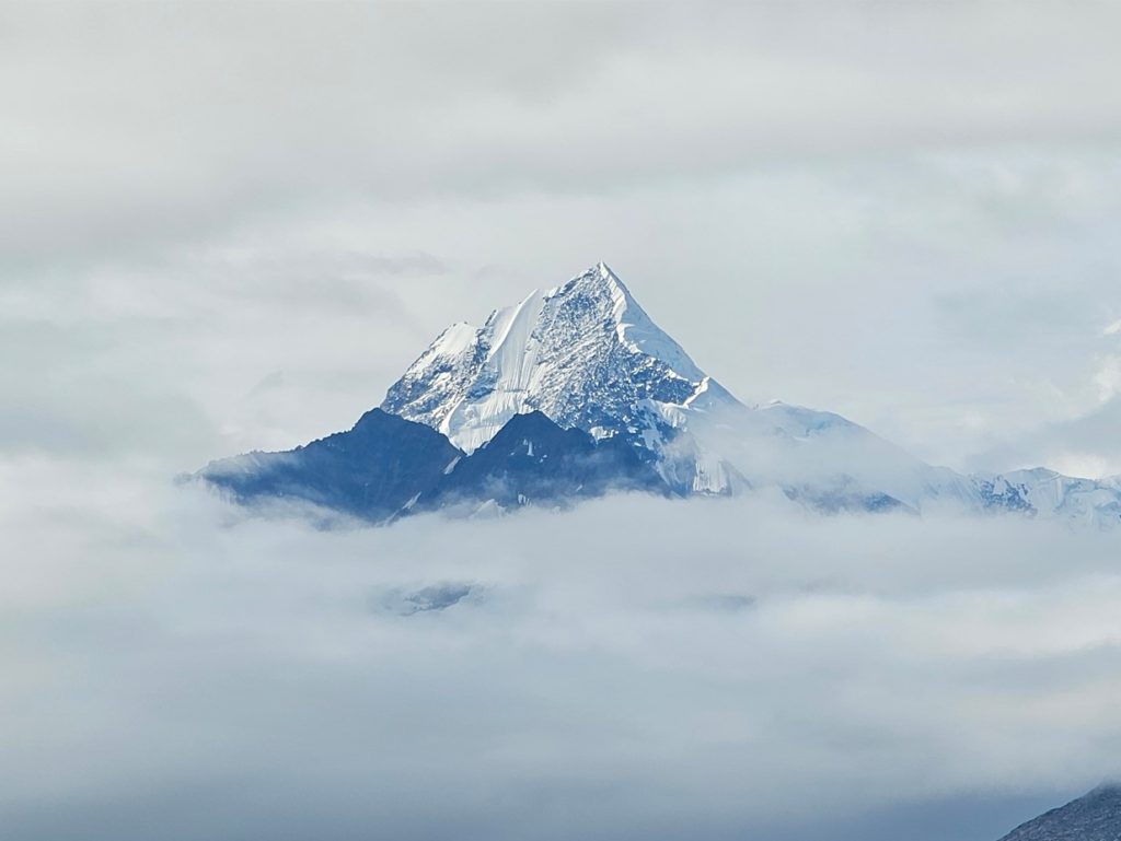
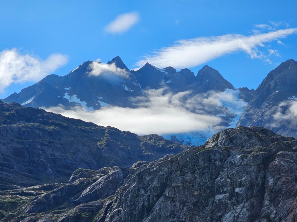
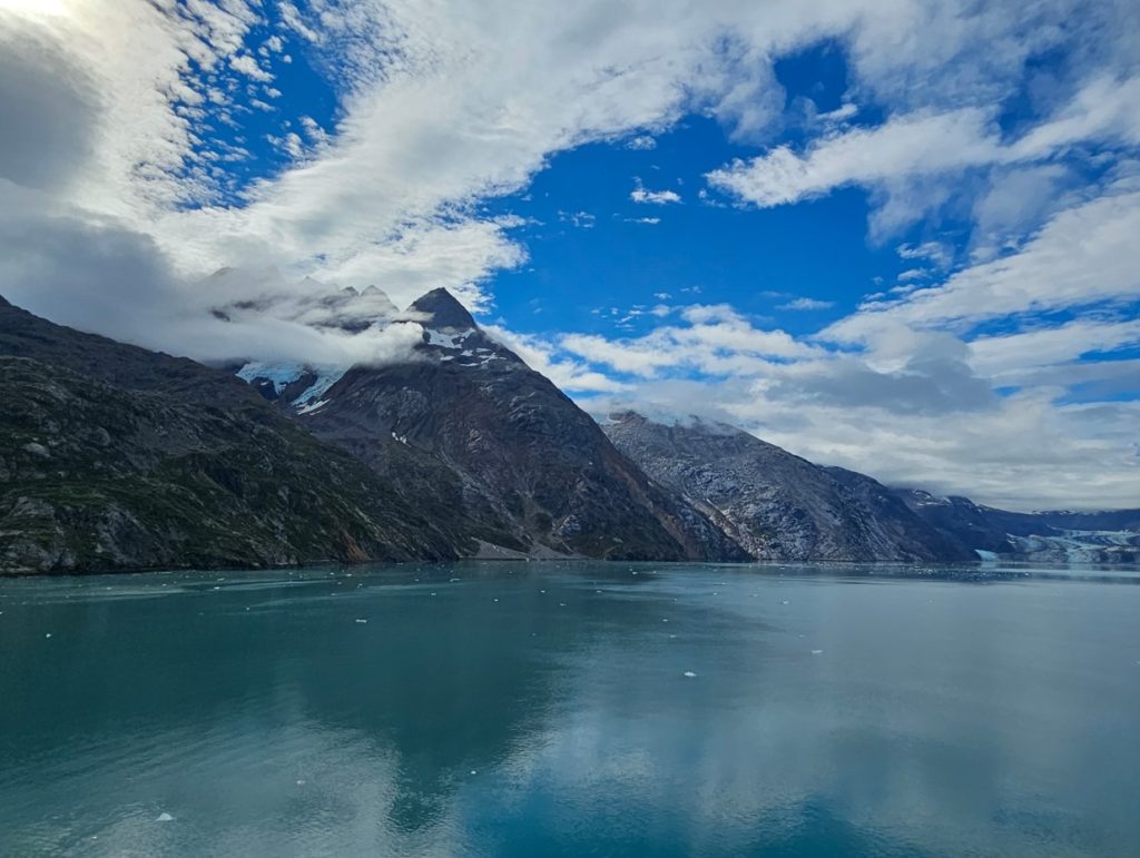
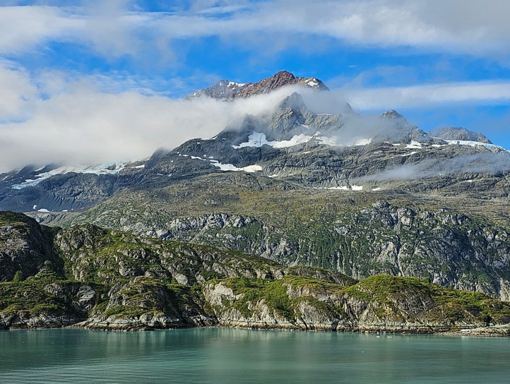
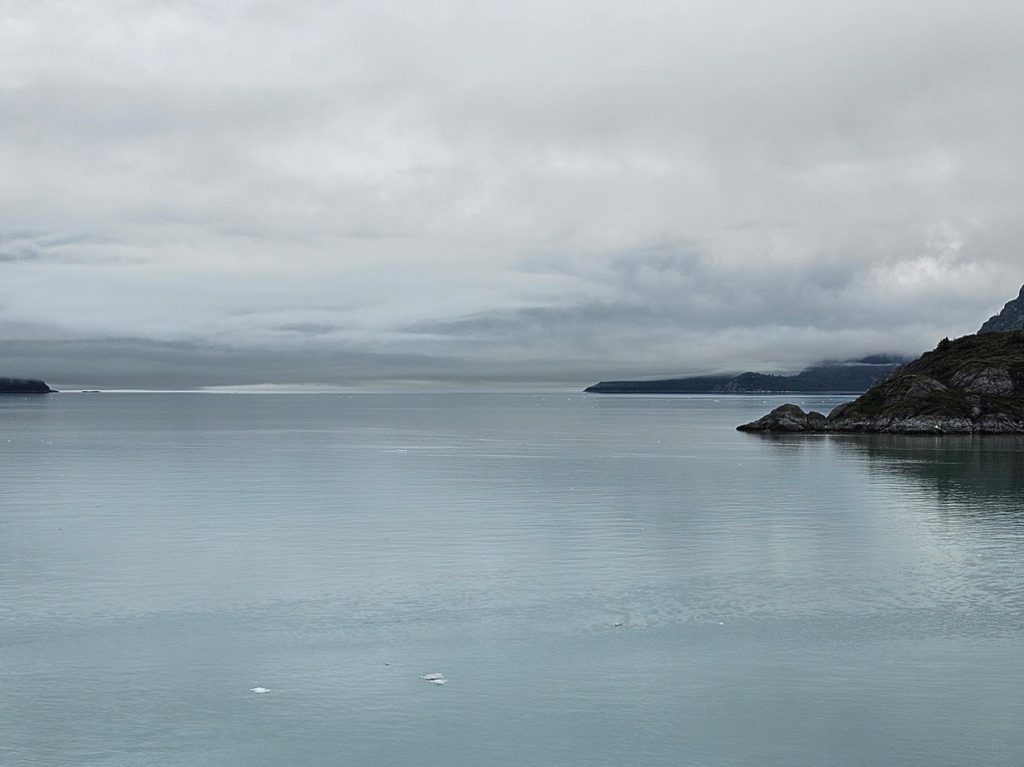
Sunrise in Glacier Bay National Park.Lamplugh Glacier.Lamplugh Glacier behind us.Johns Hopkins Glacier, with Mt. Orville’s peak above the clouds. Mt. Wilbur is to the right, hidden by the clouds. To the left is Gilman Glacier.Mt. Orville’s peak.Reid Glacier, under the clouds.Topeka Glacier.In addition to the glaciers, the mountains provide beautiful scenery in Glacier Bay. They are declaring the majesty of God!Glacier ice in the bay.Leaving Glacier Bay.
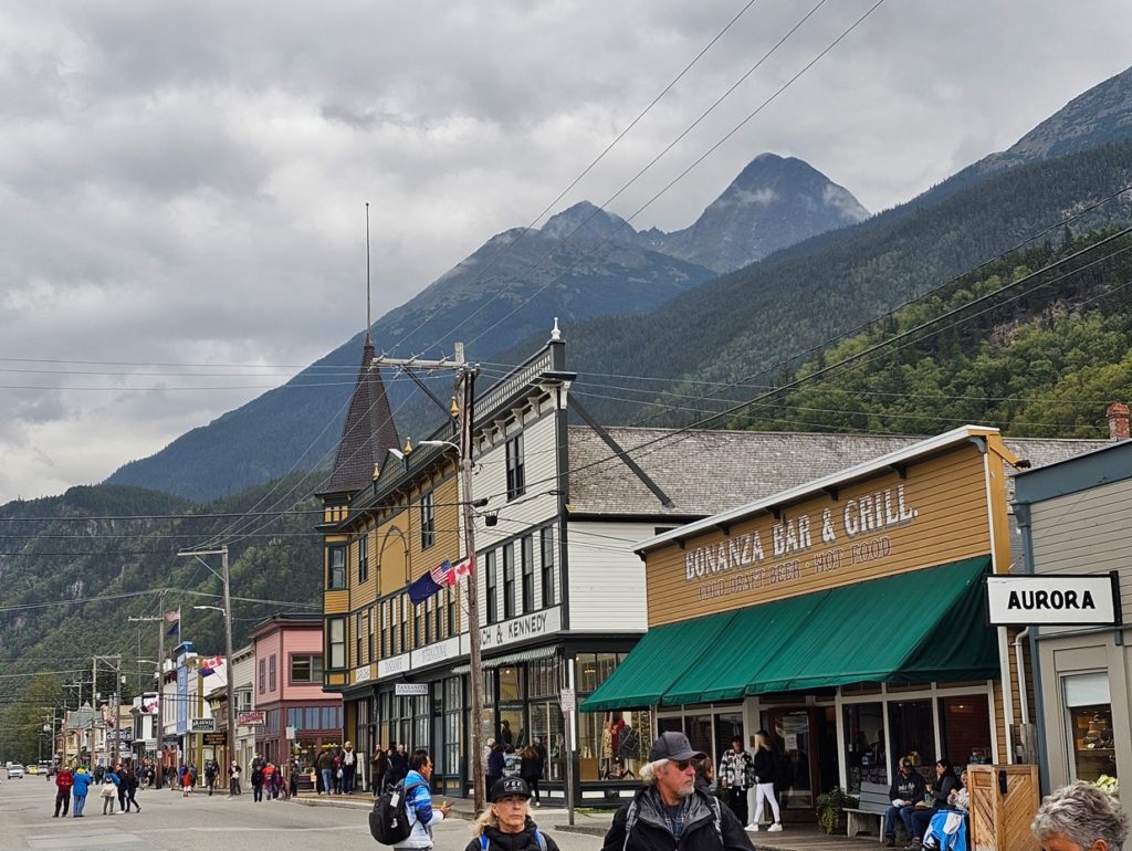
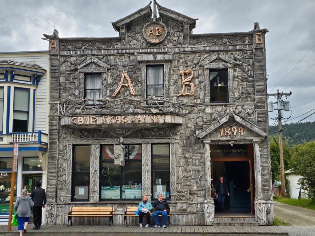
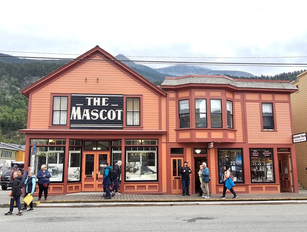
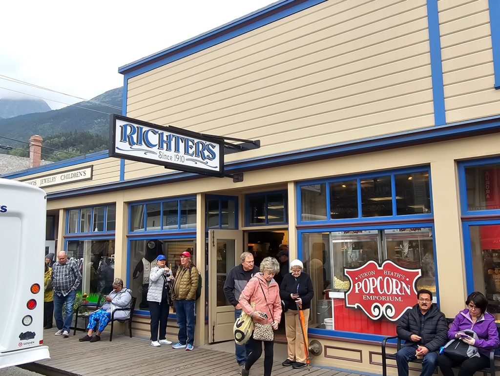
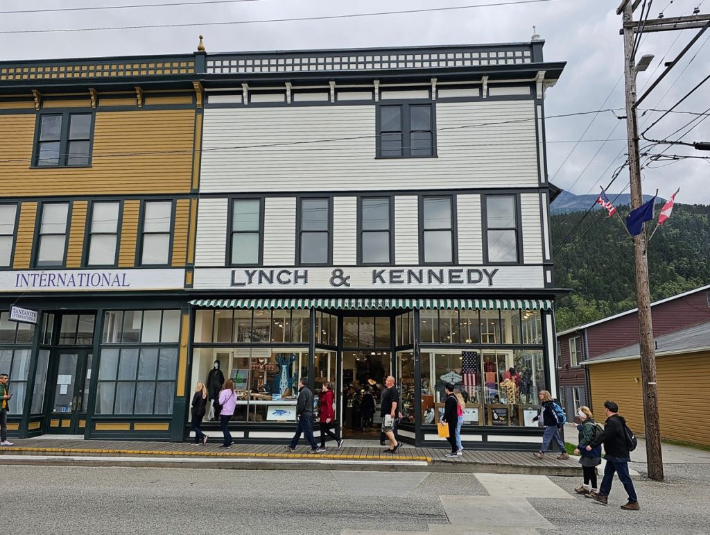
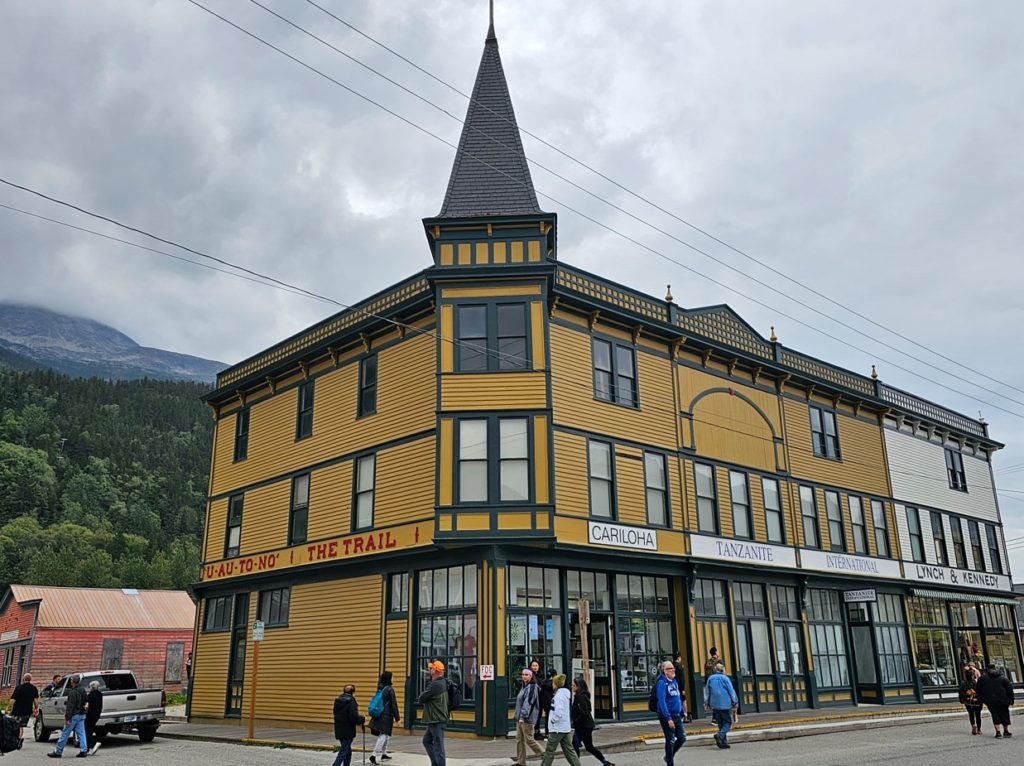
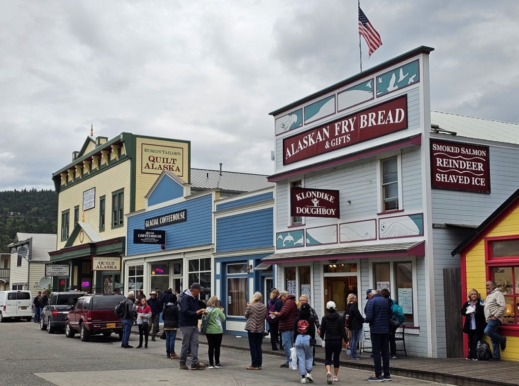
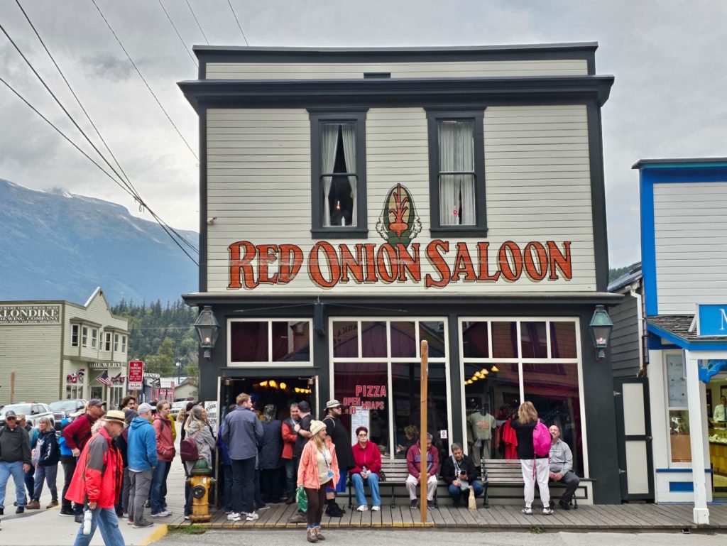
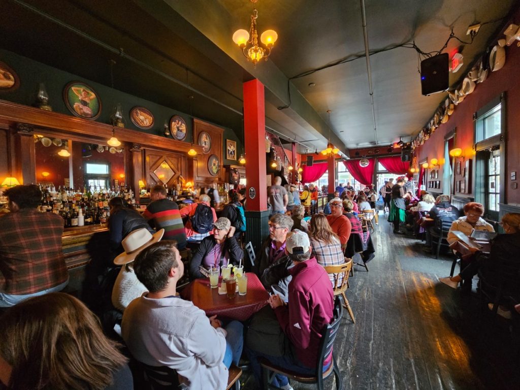
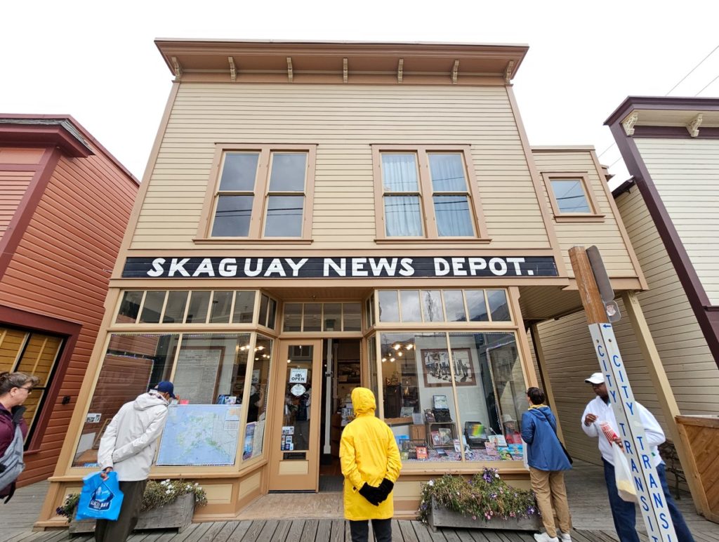
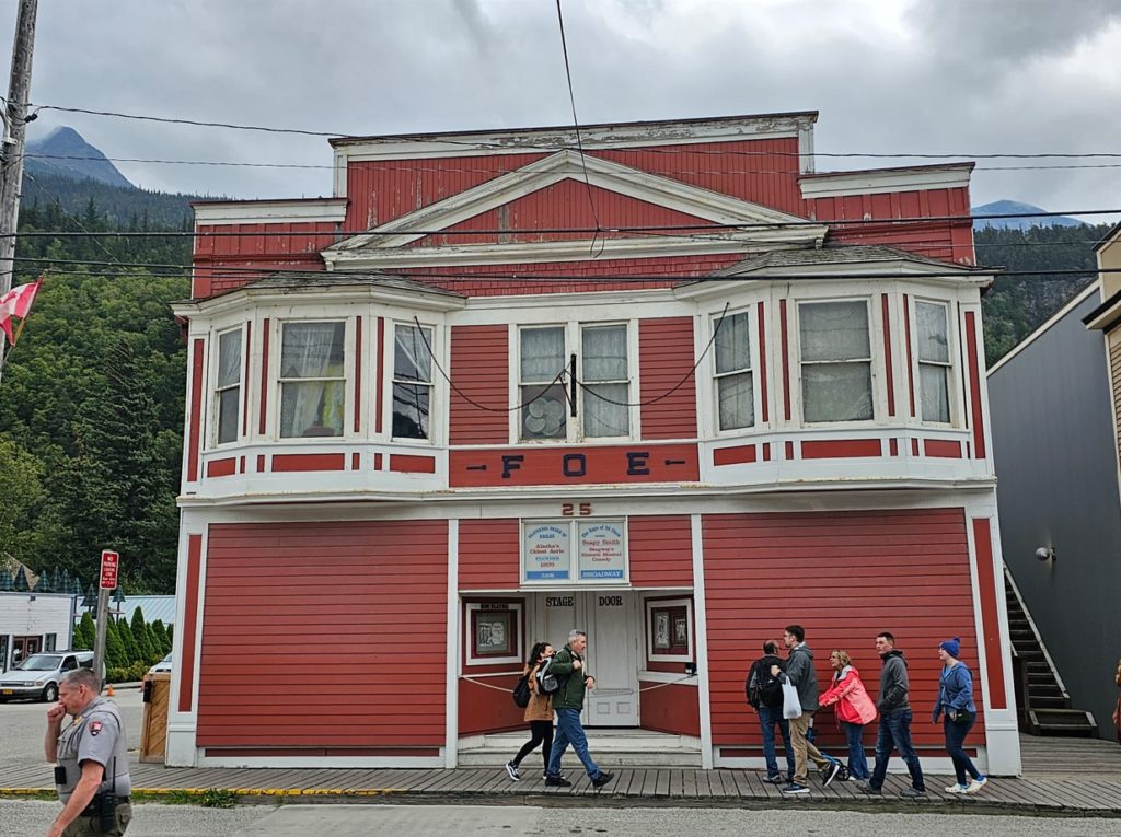
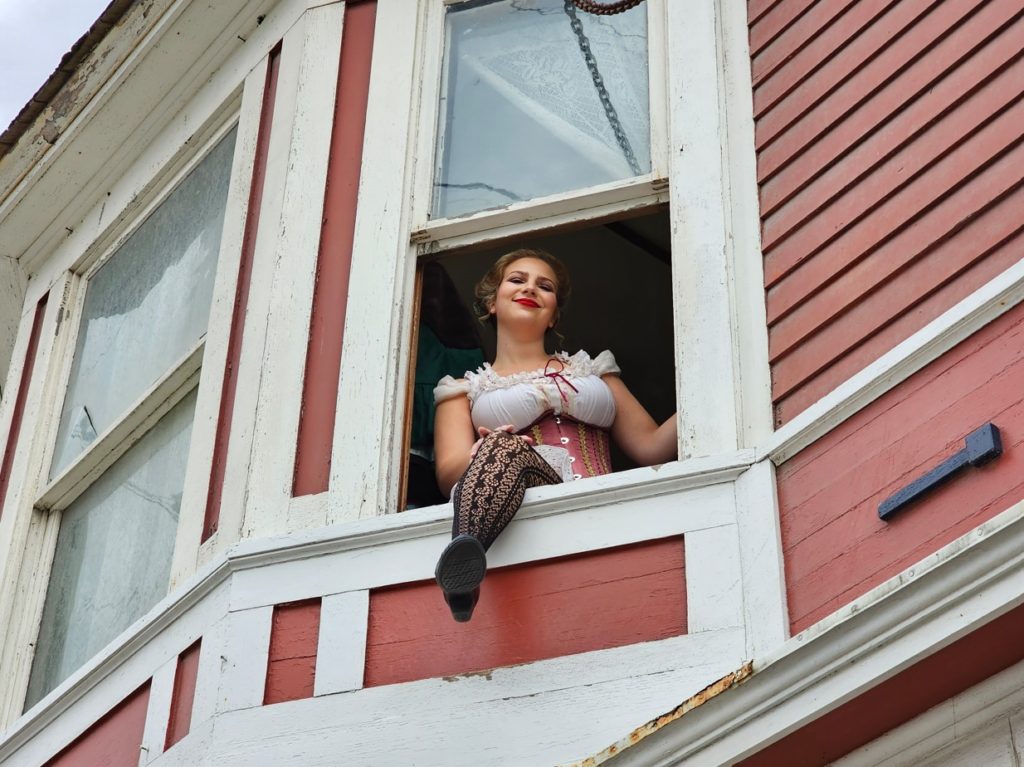
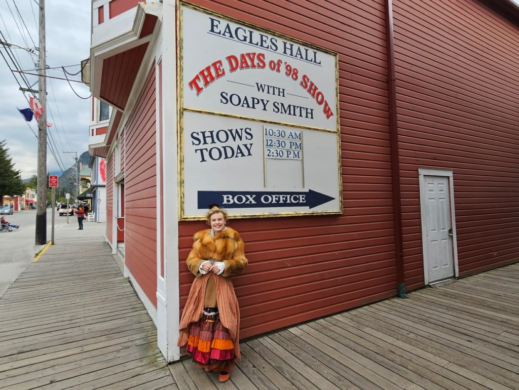
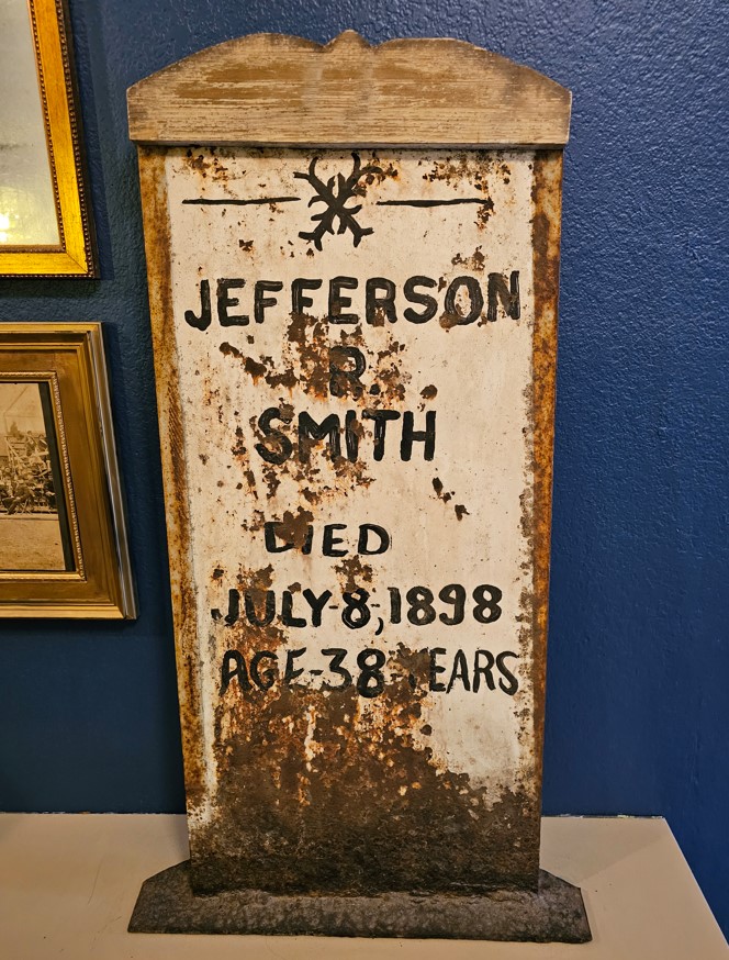
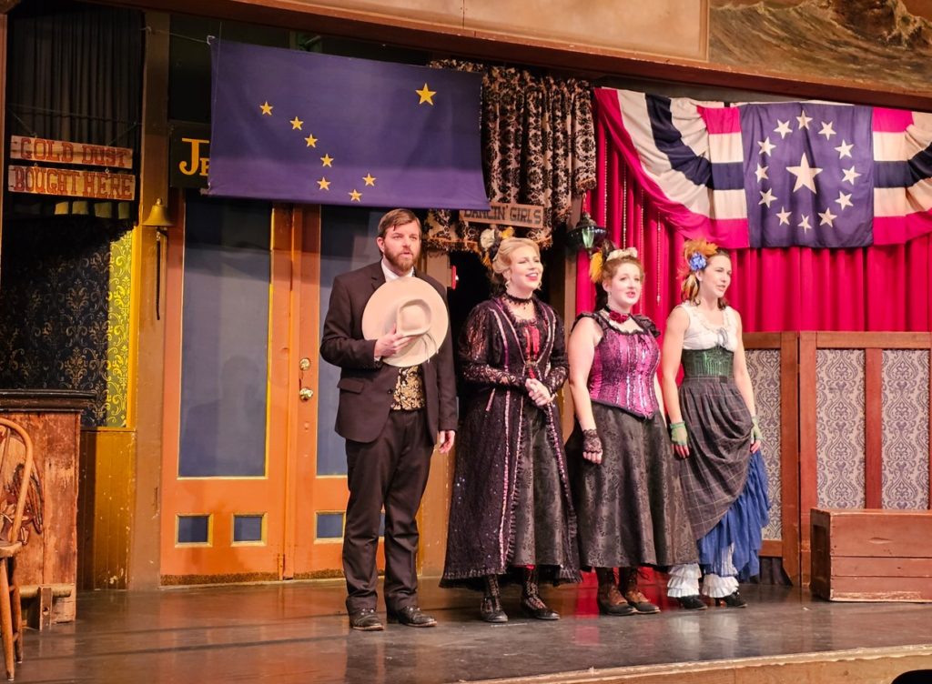
Looking north on Broadway, the main street in town.Arctic Brotherhood Lodge, built 1900.The Mascot Saloon, built 1898.Richters, built 1910.Lynch & Kennedy Dry Goods Store, built 1900.This Alaskan Fry Bread was very popular with the tourists.Golden North Hotel.This is the most famous brothel in Skagway. There are tours of the upstairs “rooms”.The saloon is still popular.The theater at the Eagles Hall gives two shows a day called “The Days of ’98 Show”, an entertaining “mostly true” story of the early days in Skagway.Prior to the show a couple women give a “performance” in the windows on the second floor.One of the ladies “inviting” us to the show.The show is essentially about conman Jefferson “Soapy” Smith, whose con game caught up with him in the middle of the street where he was shot dead in 1898. An interesting story if you care to look it up.
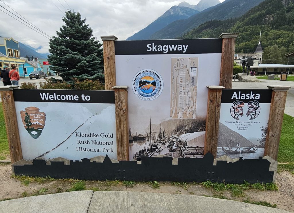
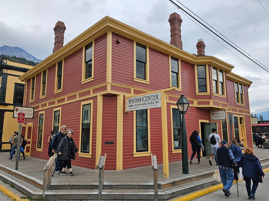
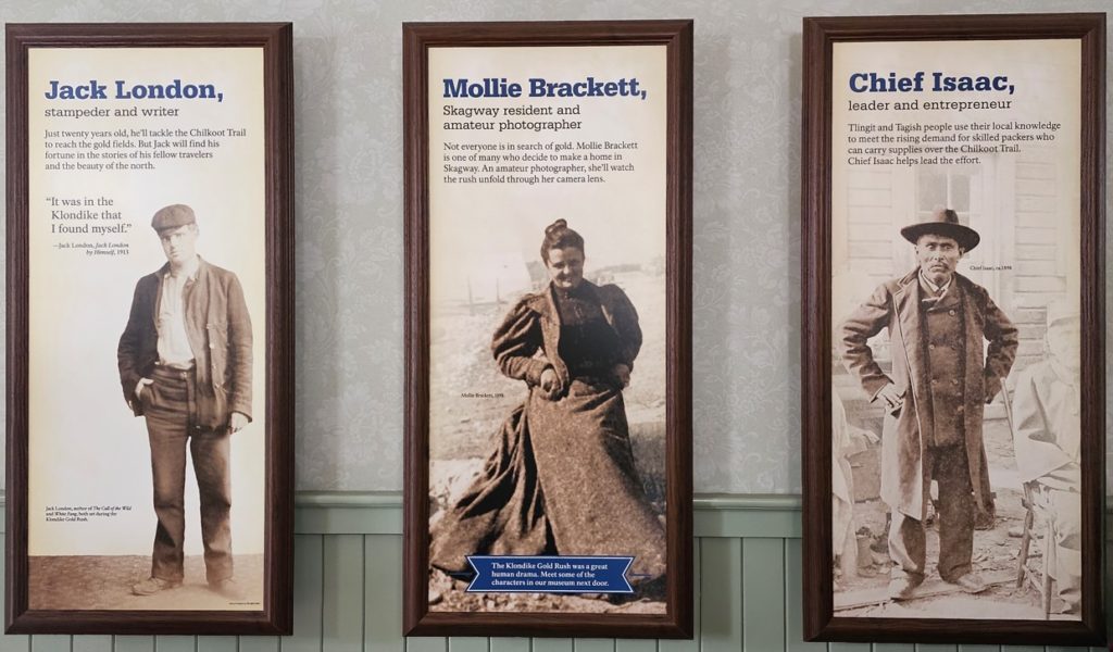
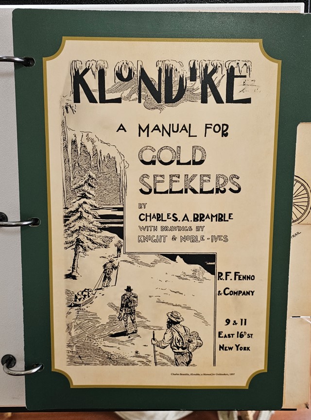
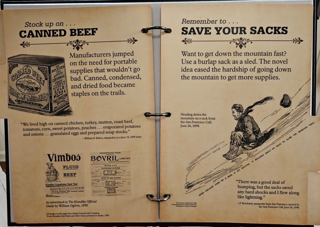
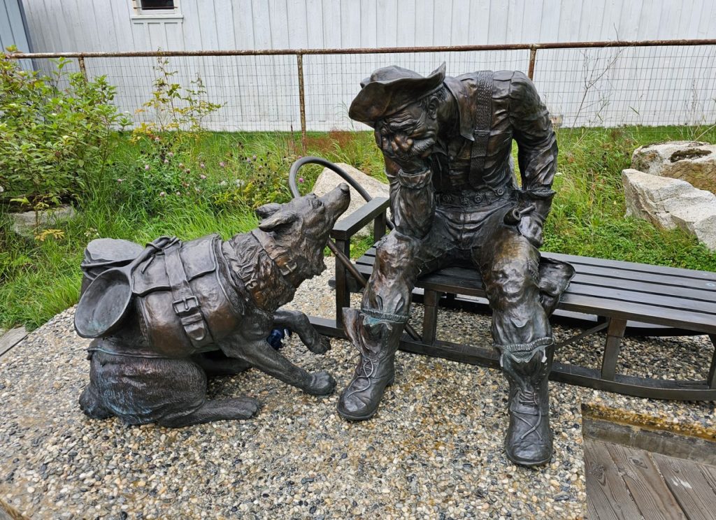
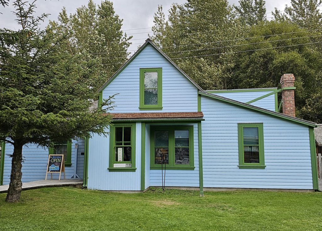
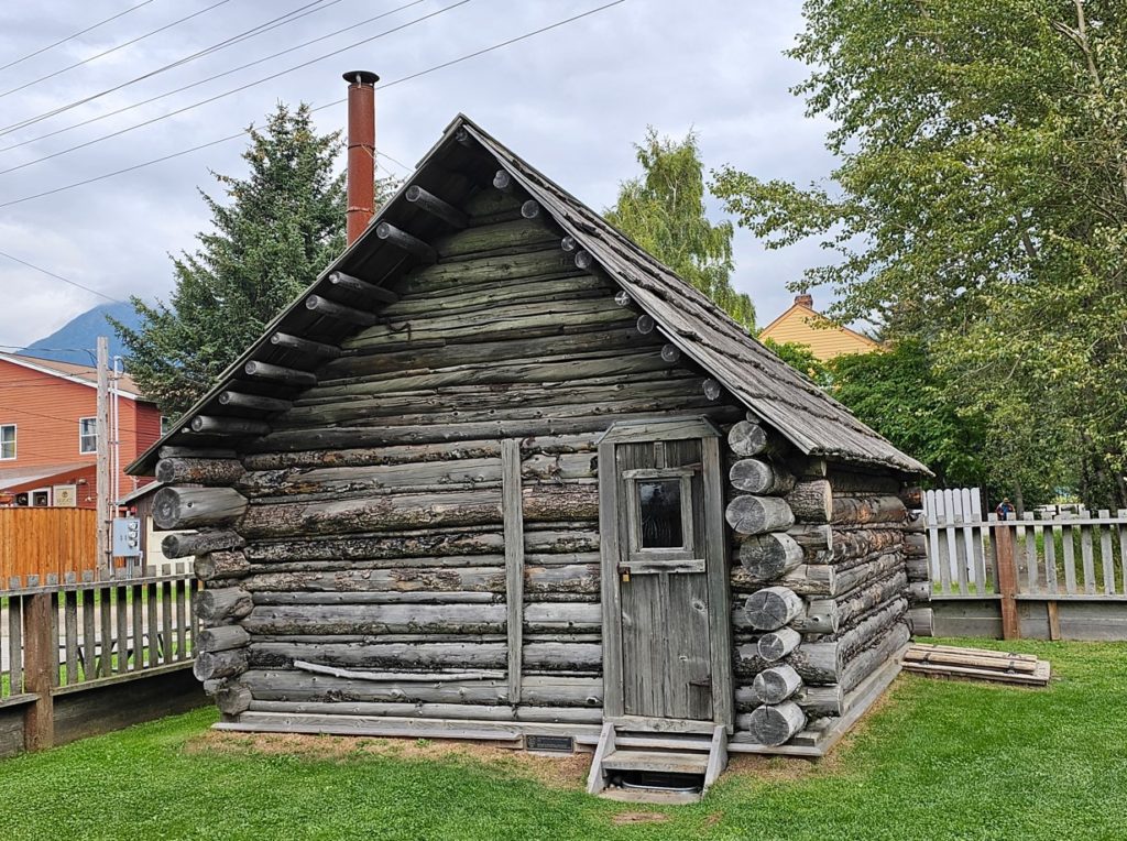
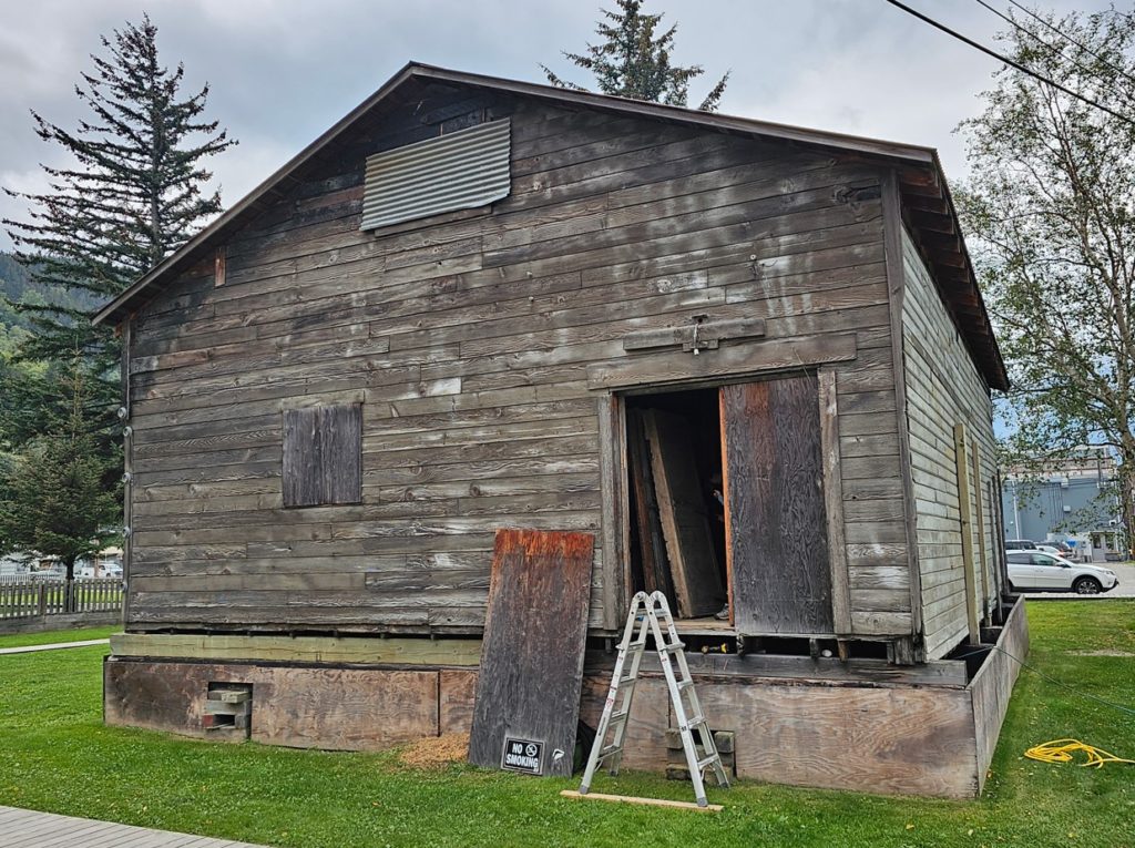
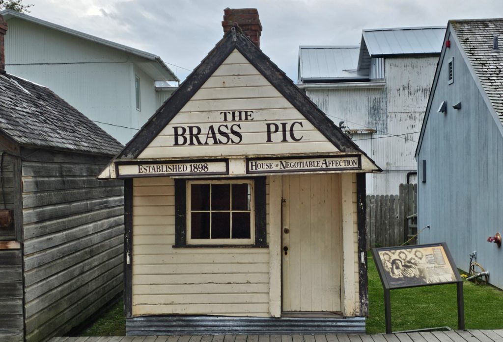
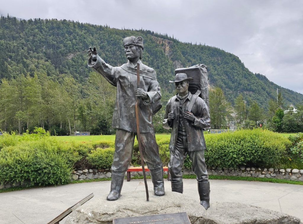
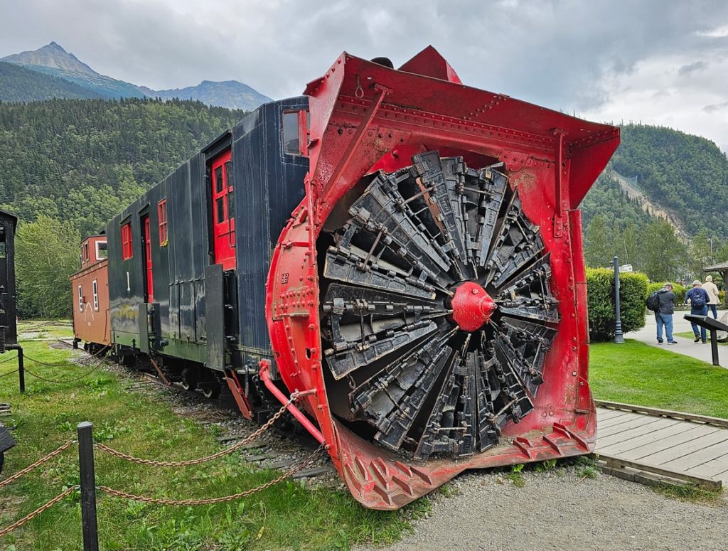
The Klondike Gold Rush of 1896-1898 is a fascinating story in American and Canadian history. The Klondike Gold Fields were north of Dawson City, Canada, and the major port for gold hunters to access Dawson City was Skagway, Alaska. For two years, thousands of people from over 30 countries used the White Pass or Chilkoot trail from Skagway to make their way to Dawson City and claim their stakes. People were required to have a year’s supply of food to cross into Canada. There are incredible photos of long lines of people with their supplies climbing a steep snow covered mountain on their way to the Gold Fields. When their horse(s) died, they just left them on the side of the trail. For the lure of gold, many people risked all, including their lives to be part of the gold rush.Klondike Gold Rush National Historical Park museum.Inside of visitor center, once the White Pass & Yukon Route depot.Several famous gold rushers set out from Skagway.How-to manual.This sculpture is explained below:The Moore House, built 1897. This house is open for tours, but we did not have time.The Moore Cabin, built 1887.Frye-Bruhn Cold Storage Building, built 1900.“Crib”The Brass Pic, built 1898, was a house of “ill-repute”. The Klondike Gold Rush attracted many women to Skagway who desired “work”.Skagway Klondike Gold Rush Centennial statue.This is a locomotive that was used to plow snow on railroad tracks.
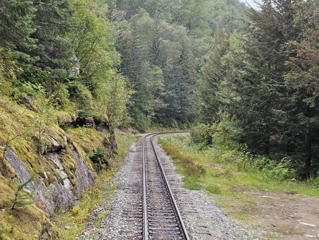
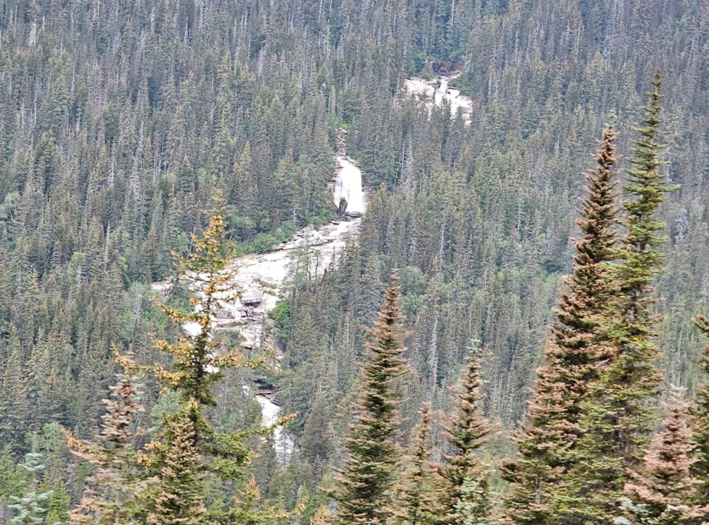
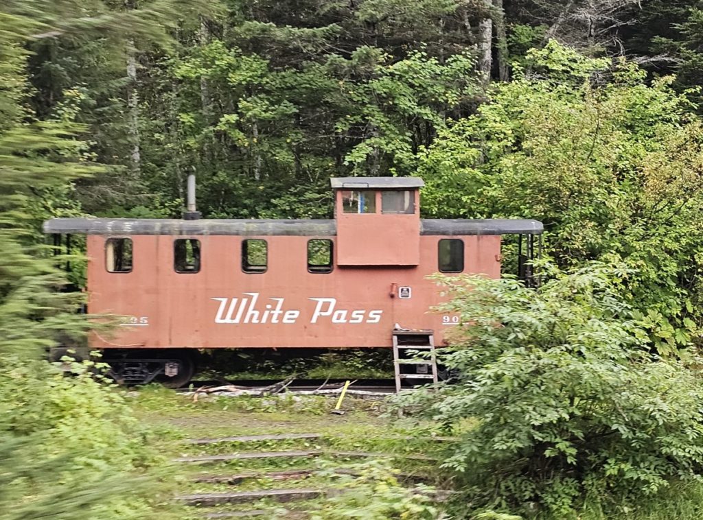
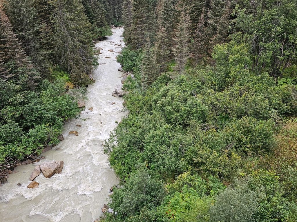
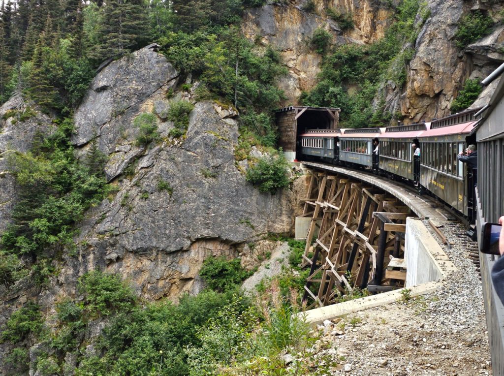
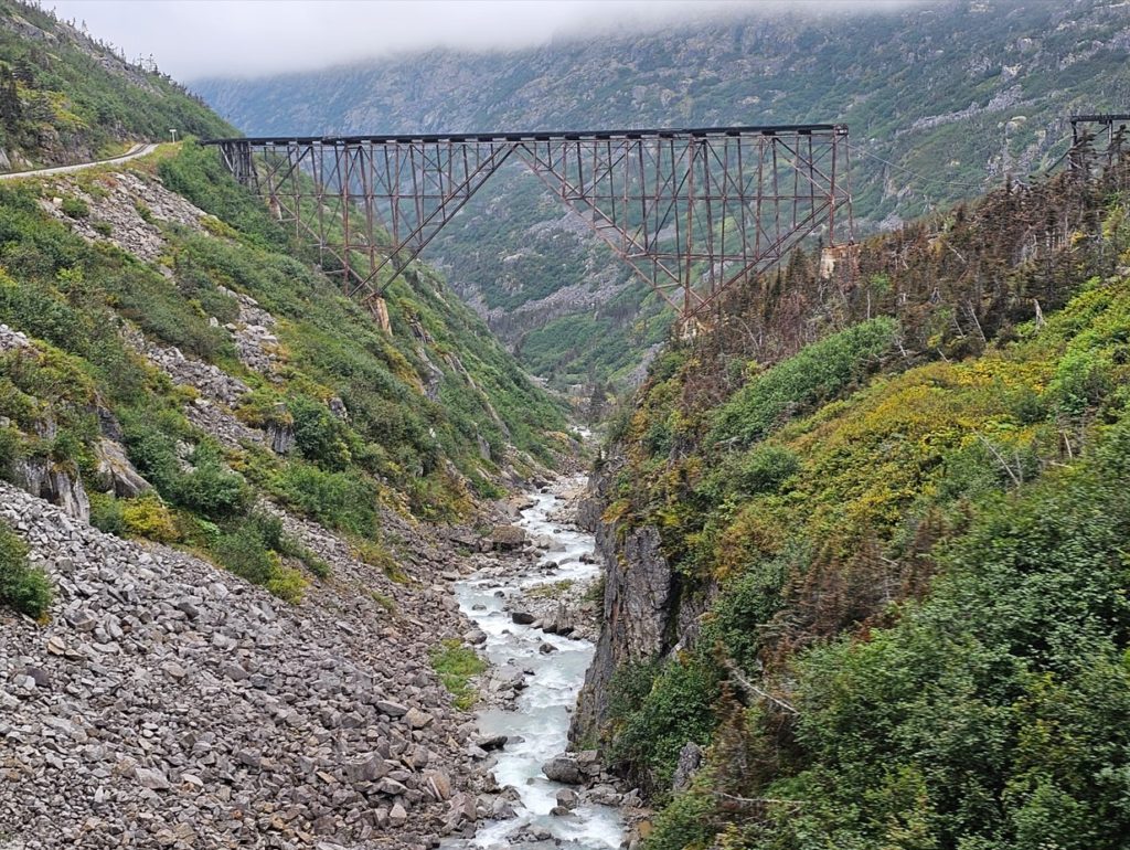
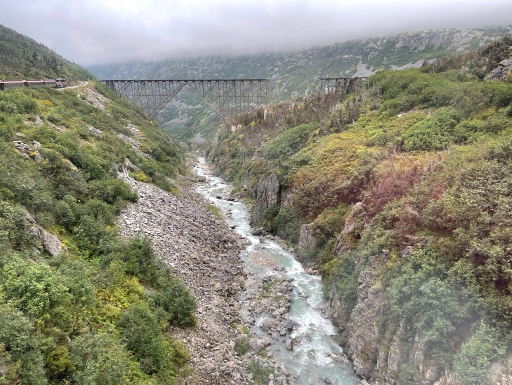
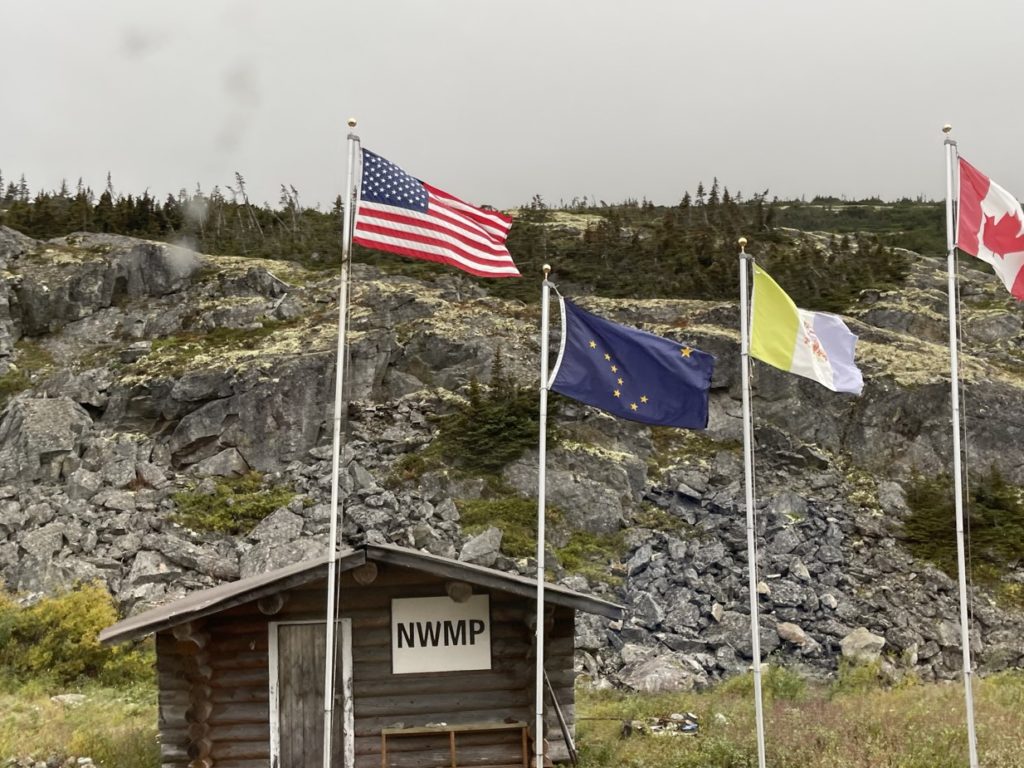
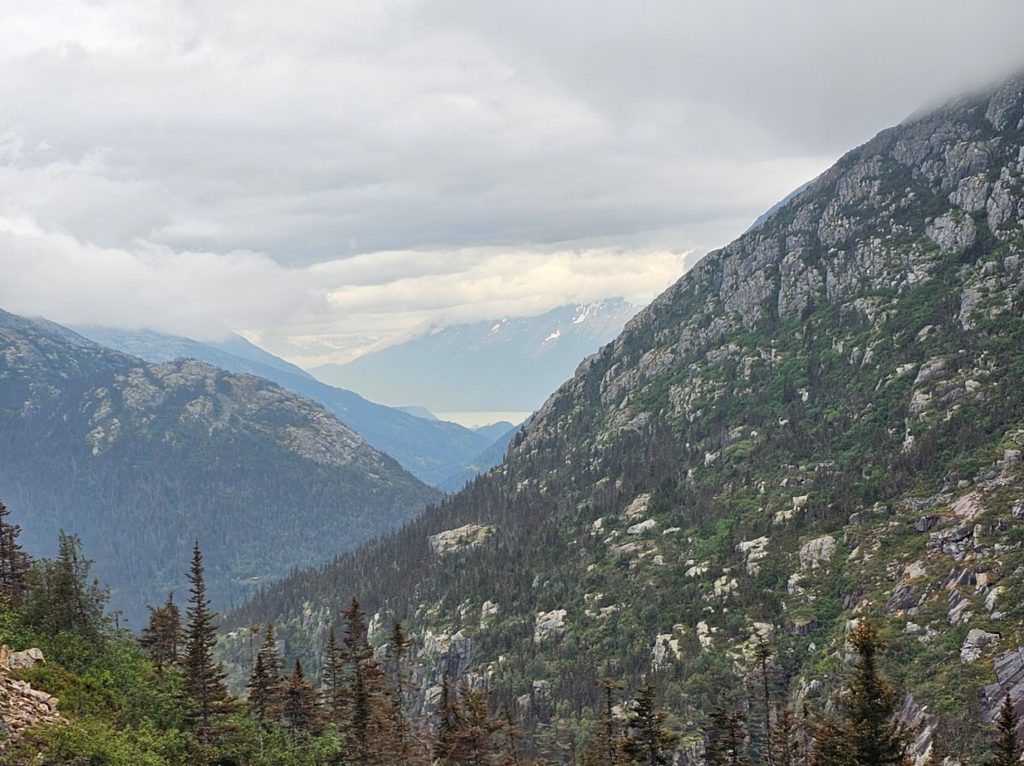
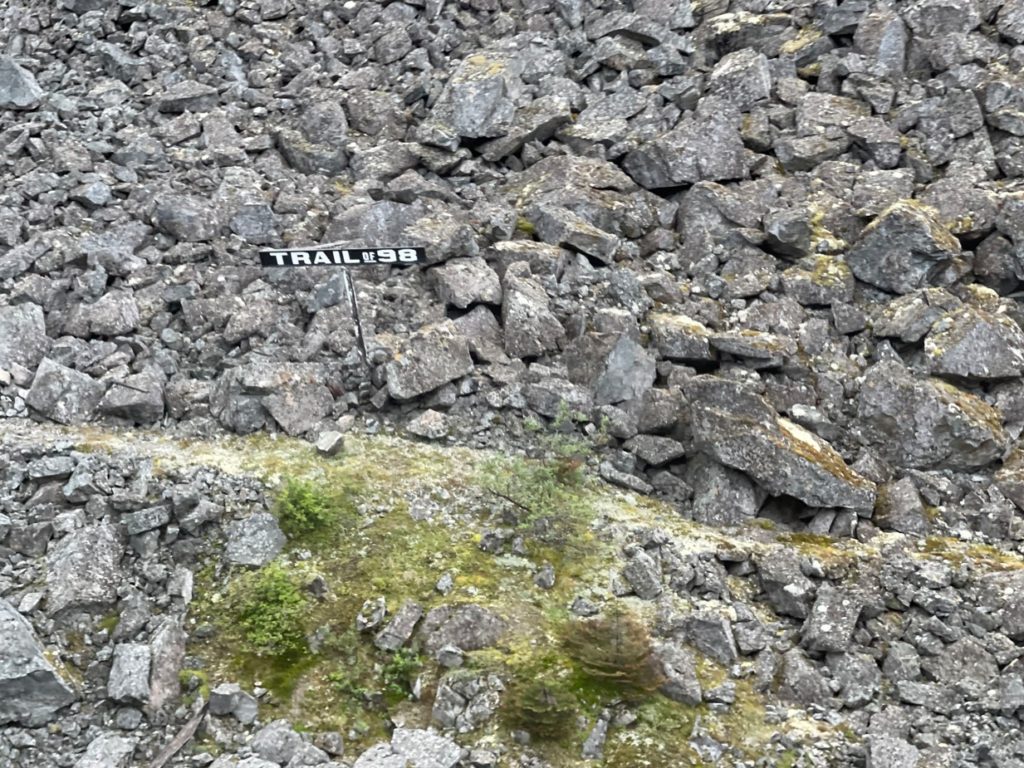
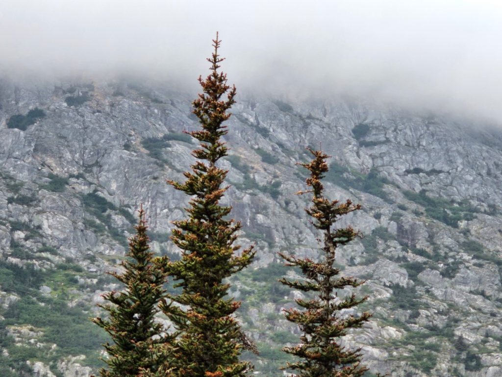
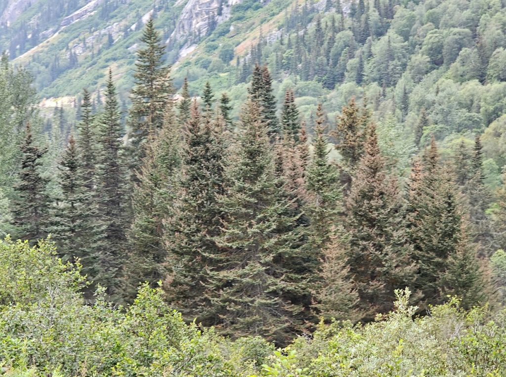
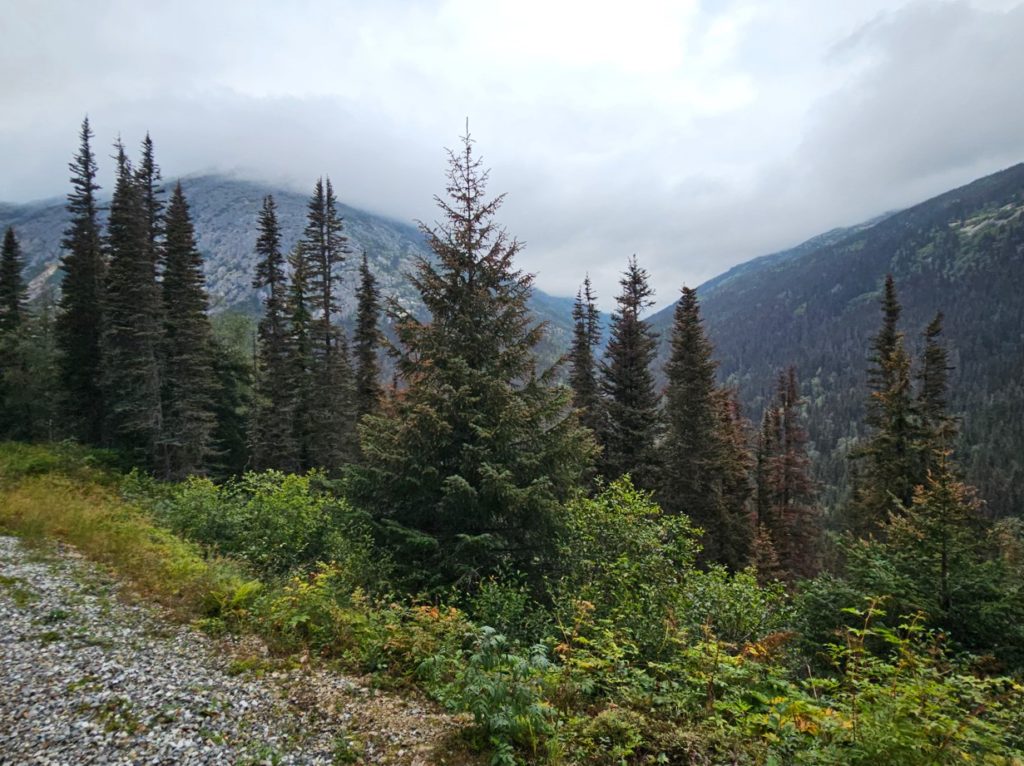
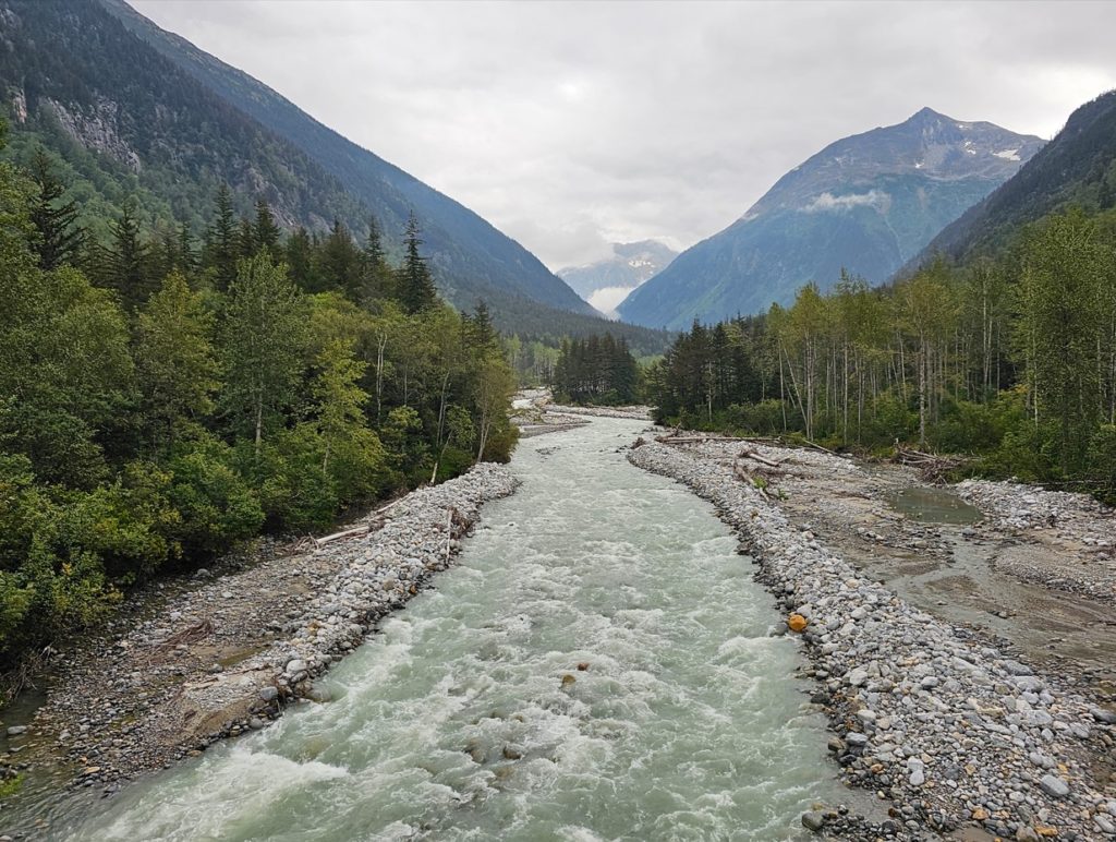
The White Pass Yukon Route climbs, and winds around sharp curves, and very close to some rock cliffs.Bridal Veil Falls.About 6 miles north of Skagway on the White Pass Yukon Route, this caboose is available for rent. It sleeps 6 with a double bunk and 4 single bunks. It rents for $45 a night as the Denver Caboose Cabin.Skagway River.Heading into a tunnel.Abandoned trellis bridge.Northwest Territory Mounted Police station at US-Canada border at White Pass.View from near the top looking back toward Skagway.The Trail used by the Klondike Gold Rush pioneers in 1898.Black spruce.Skagway River.