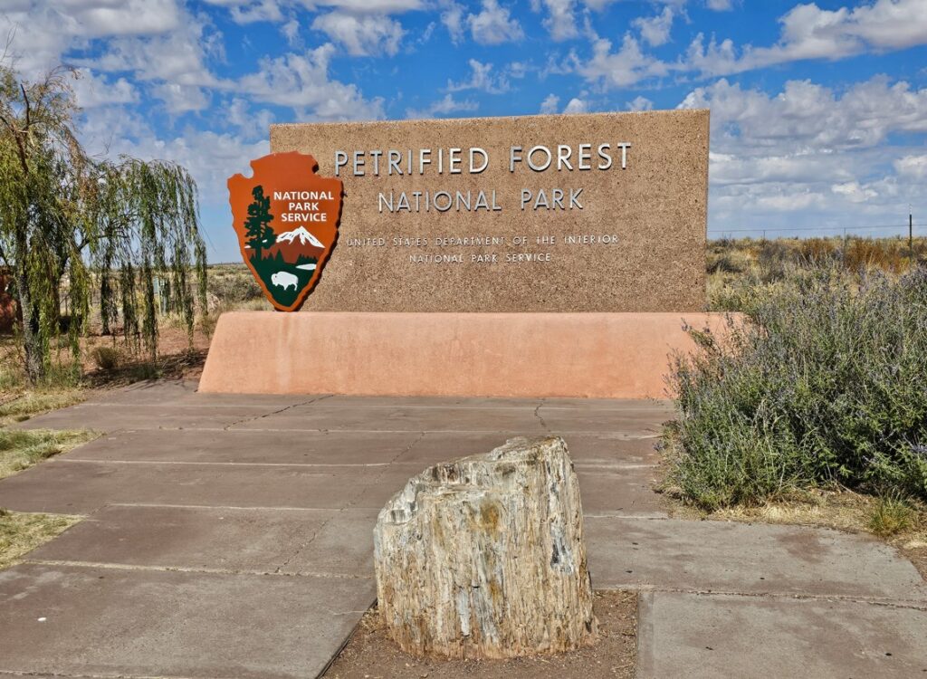
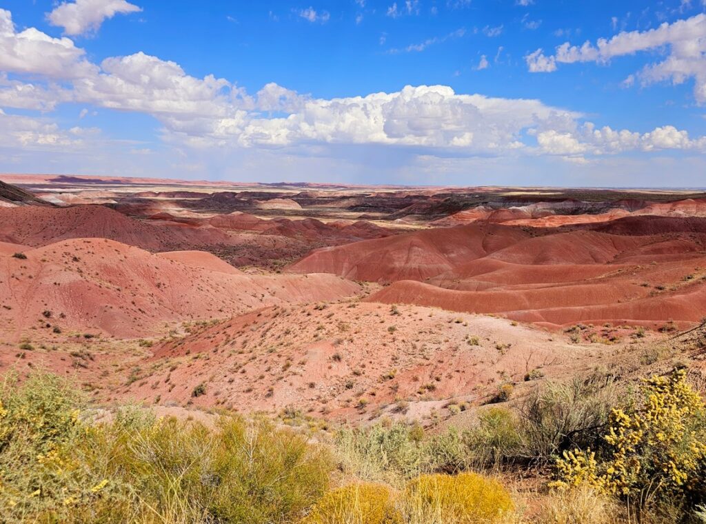
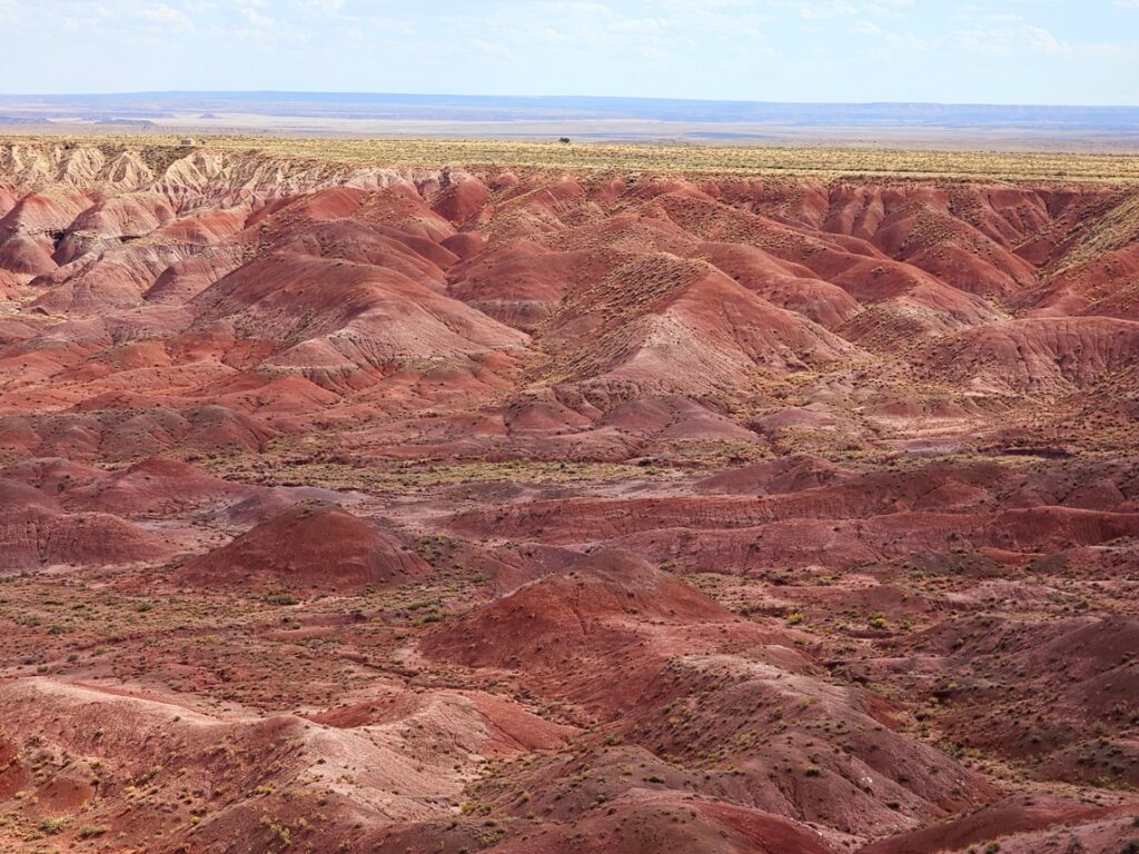
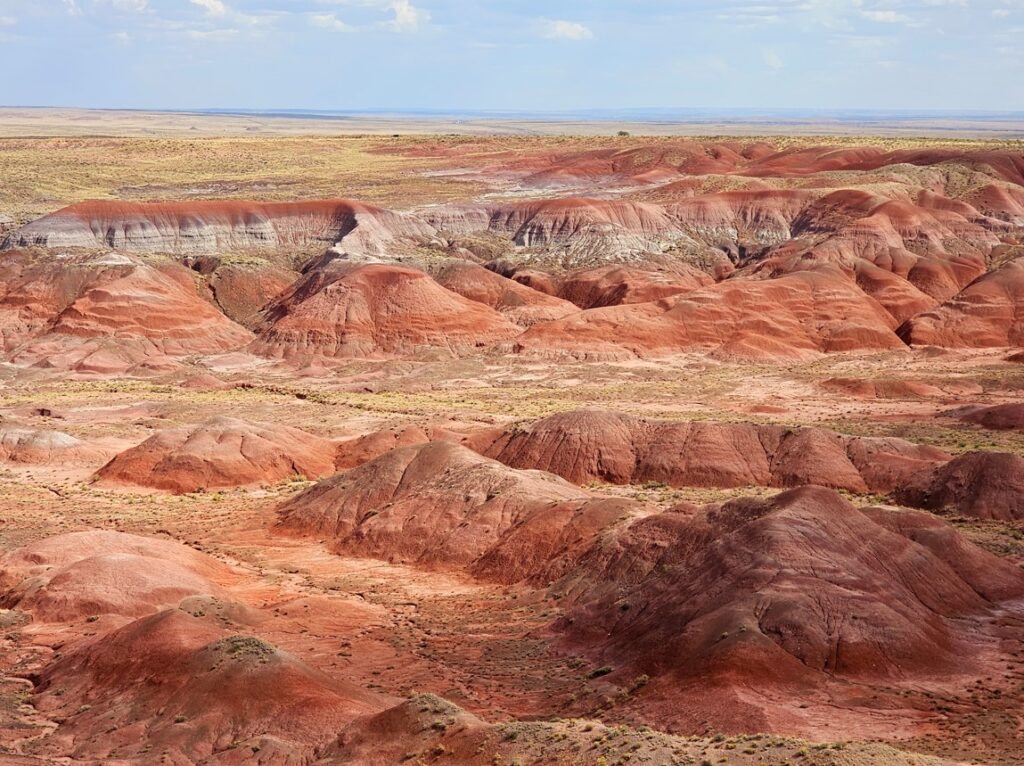
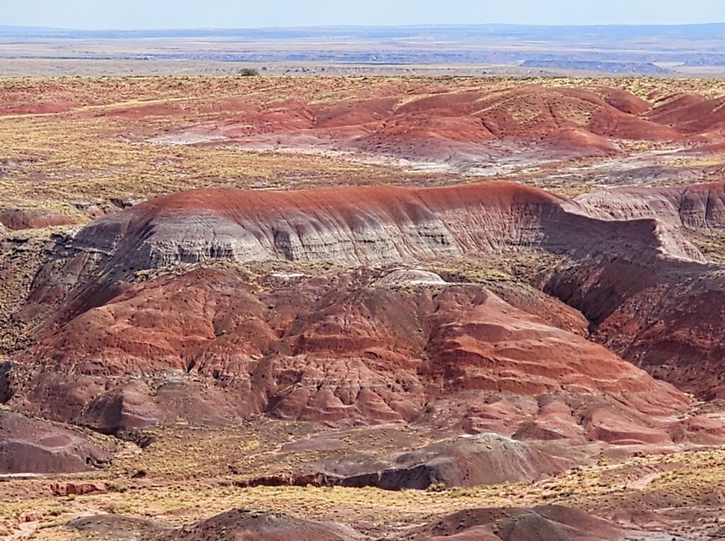
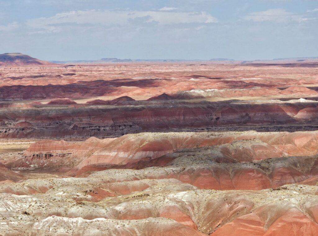
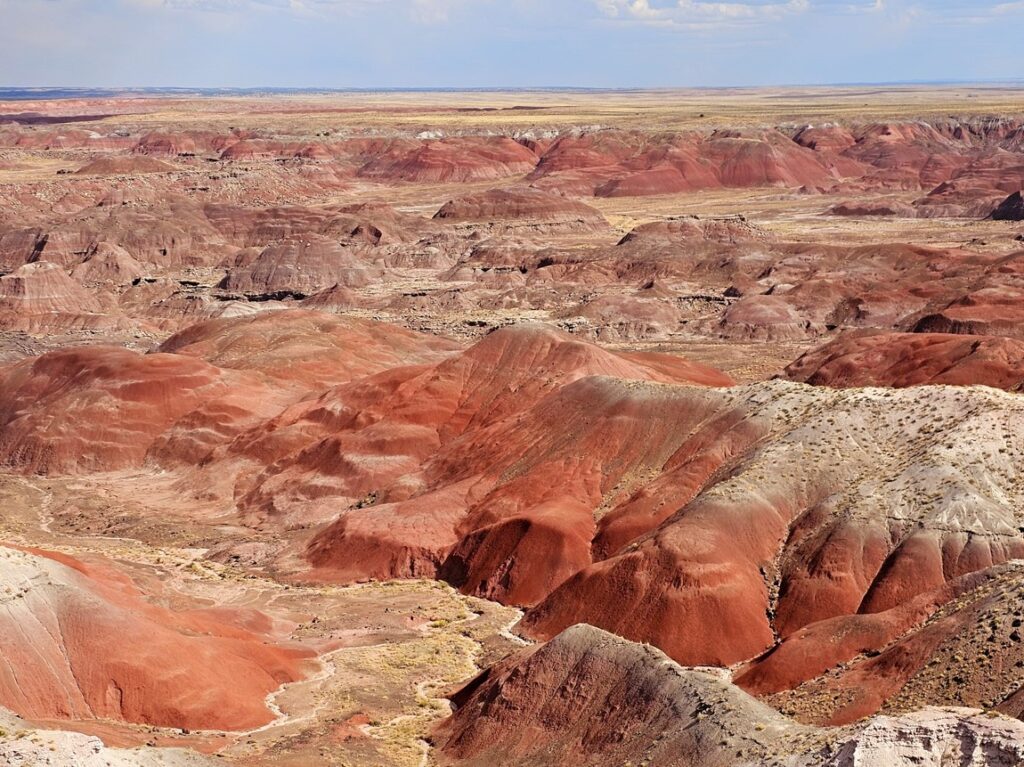
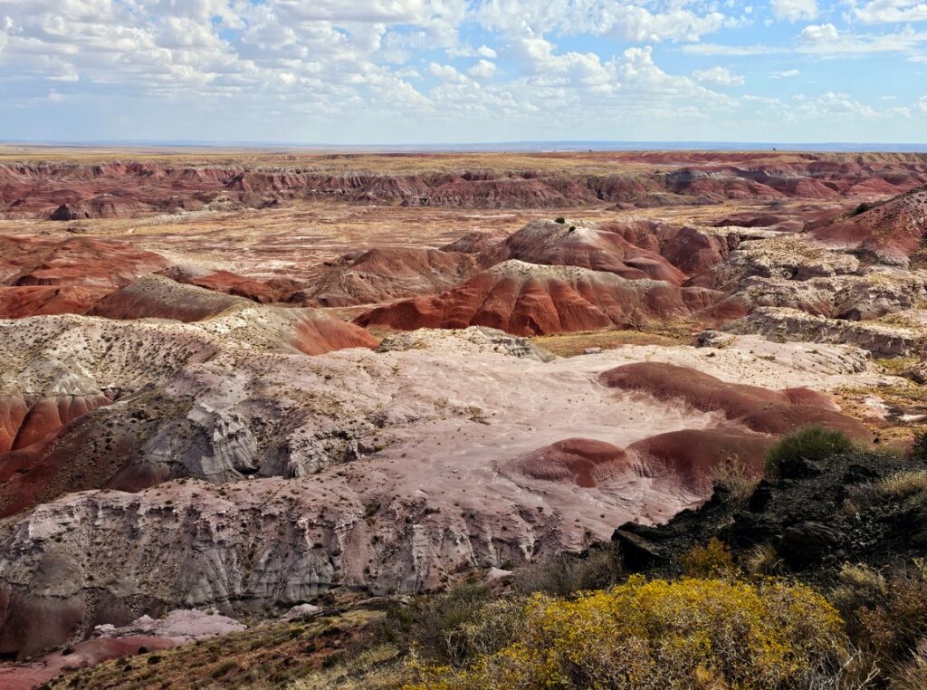
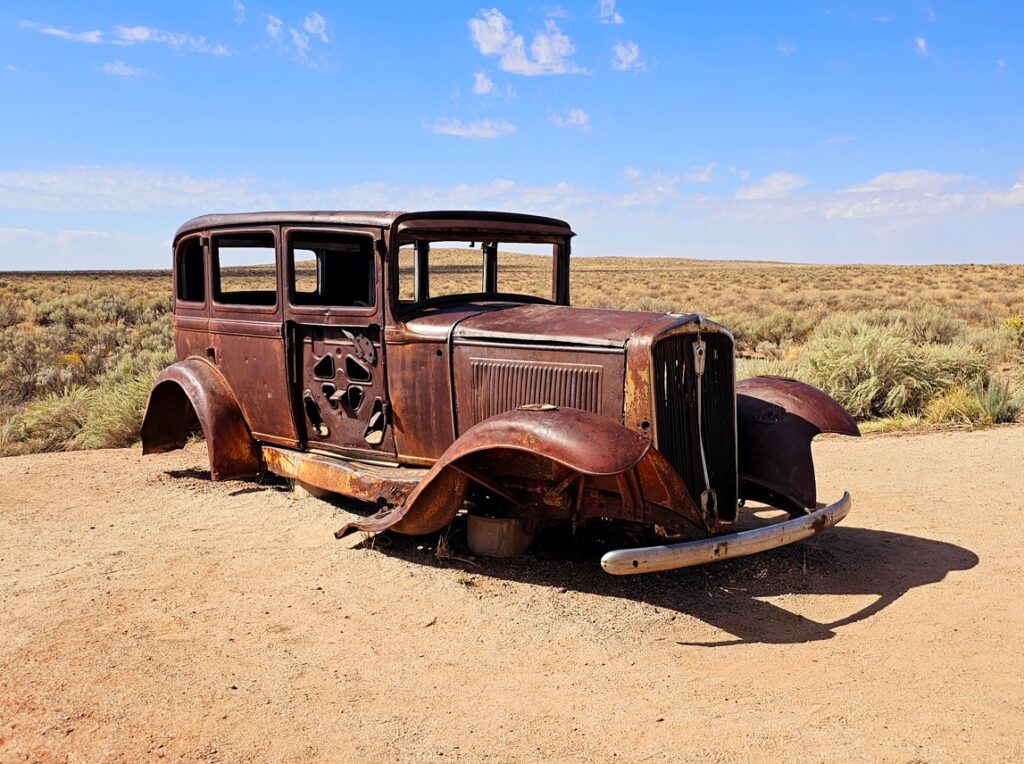
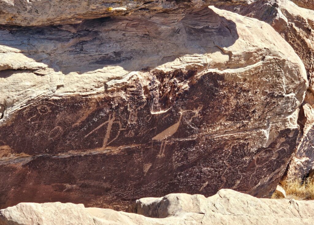
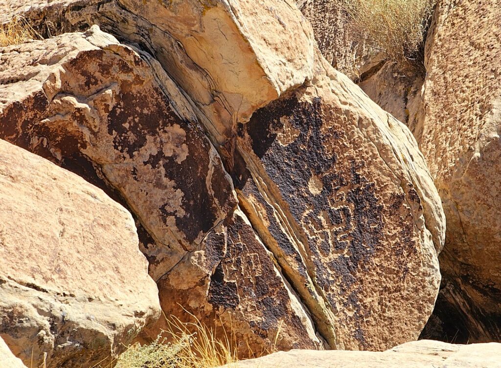
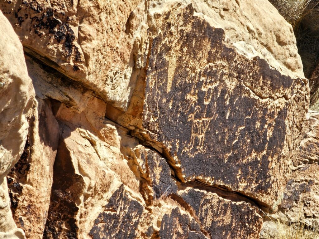
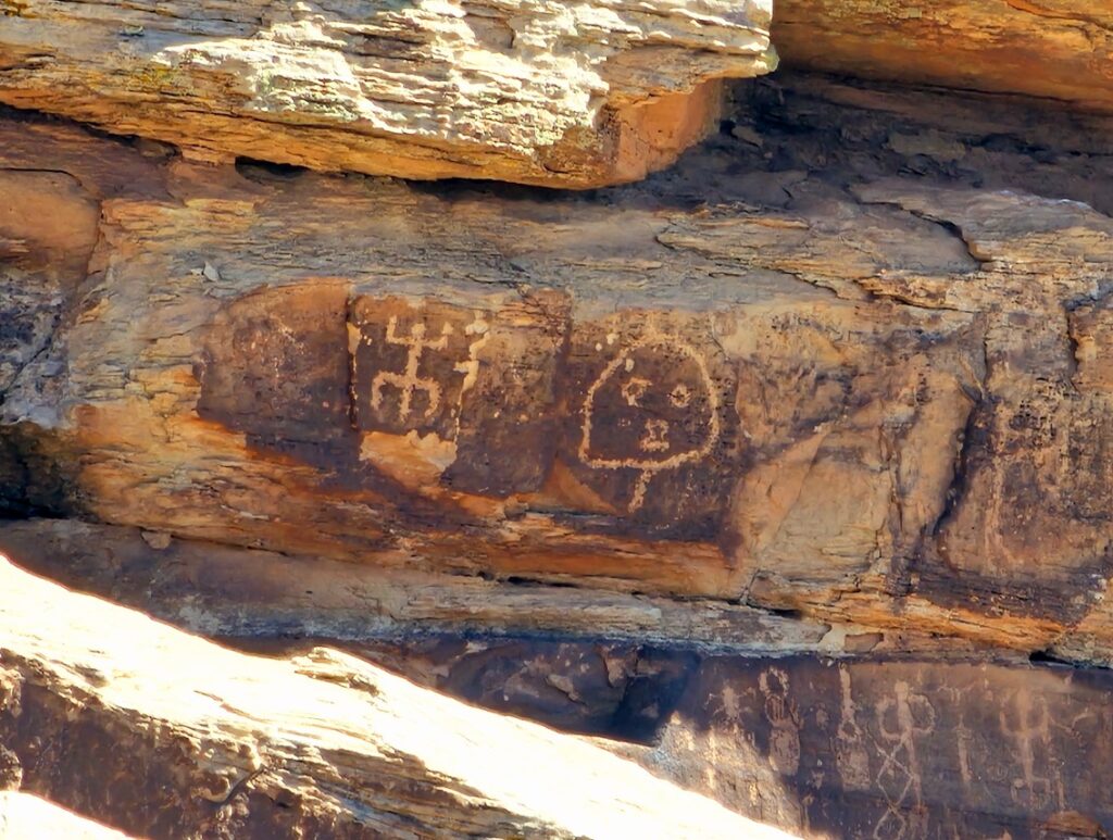
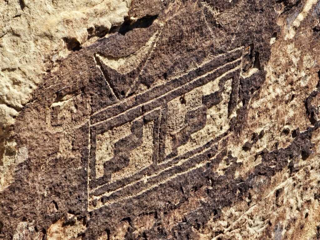
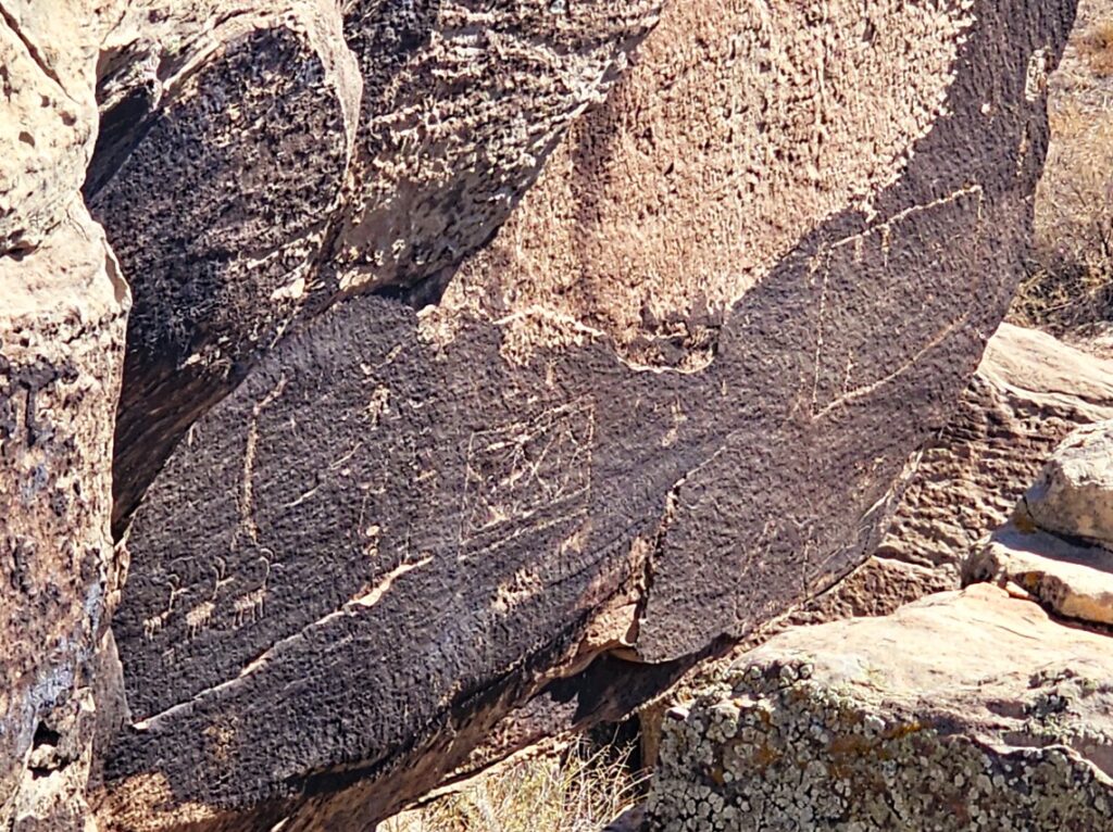
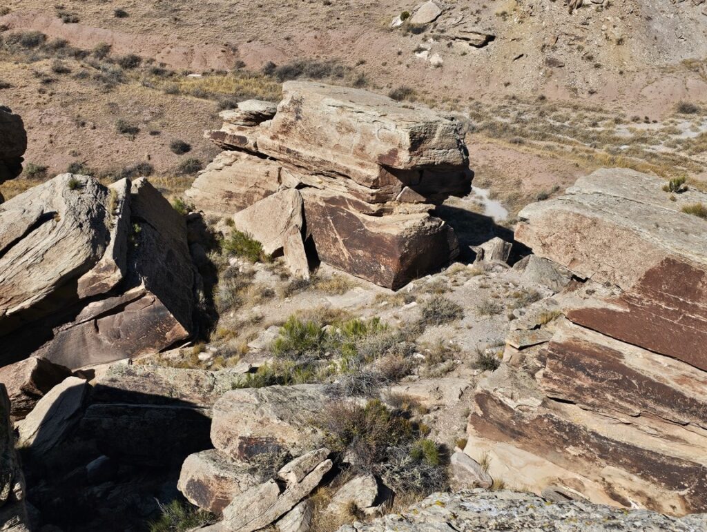
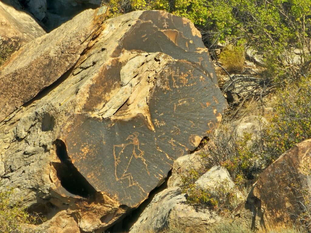
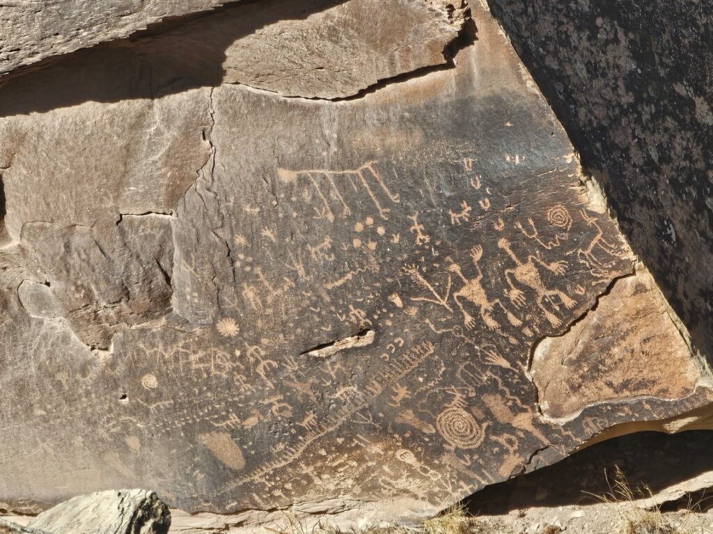
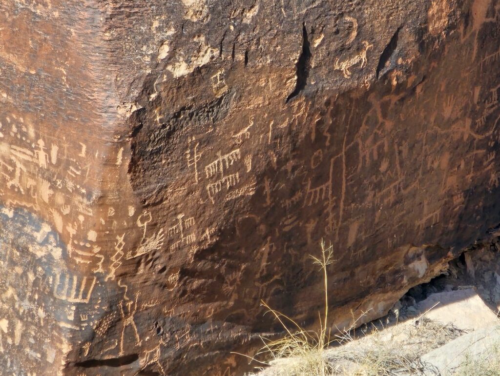
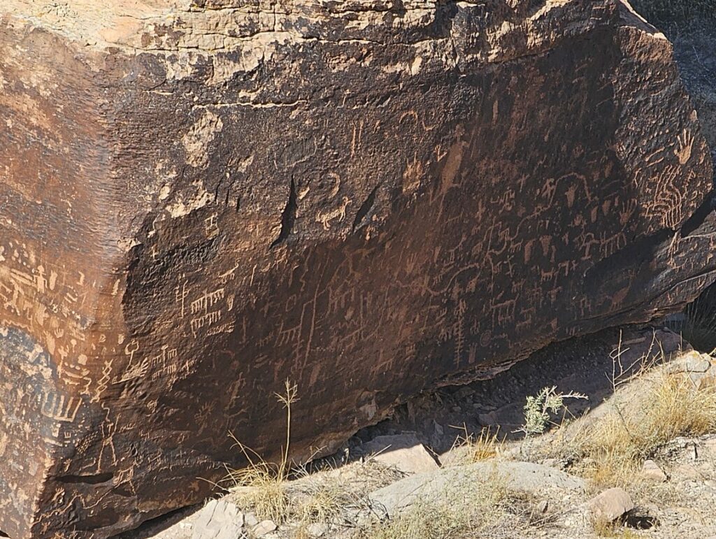
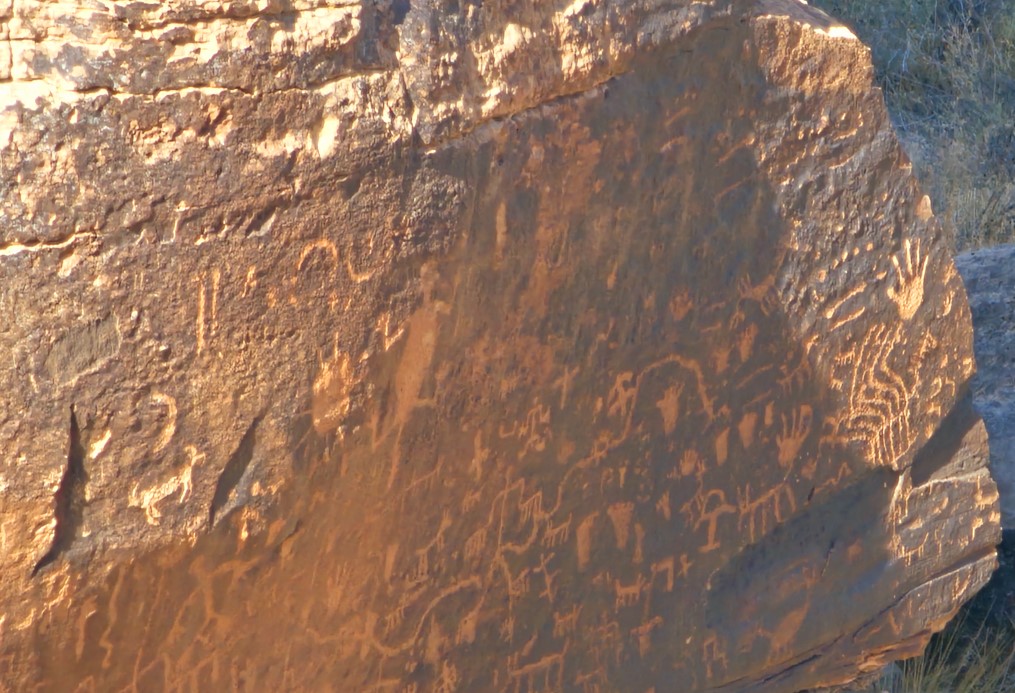
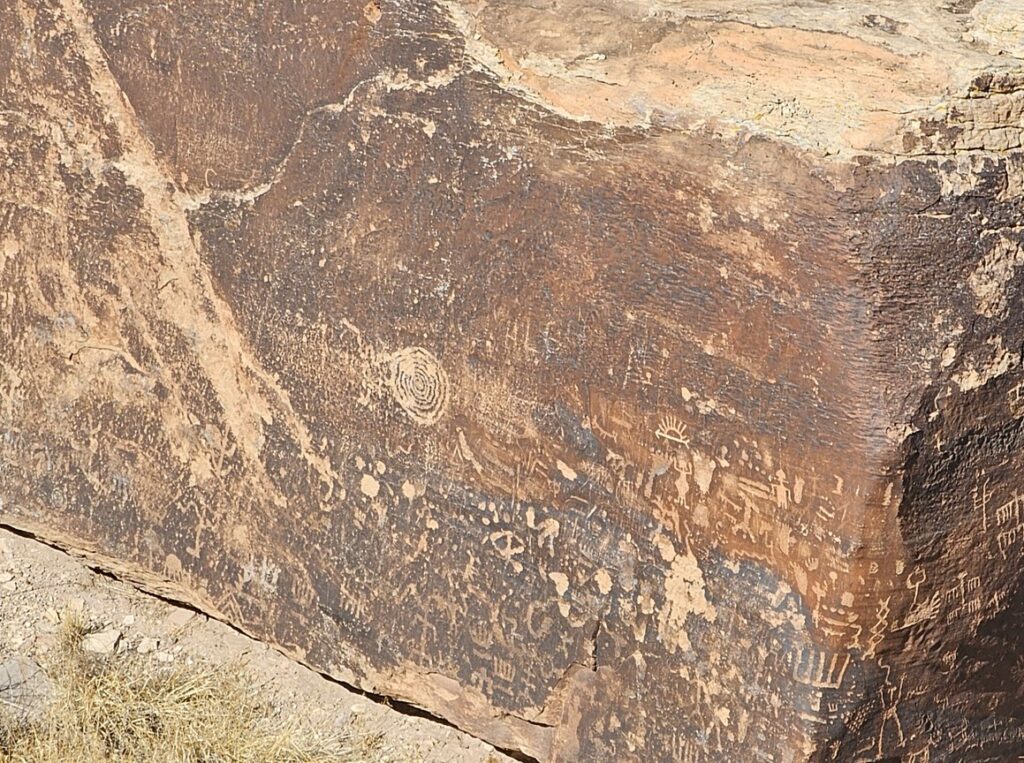
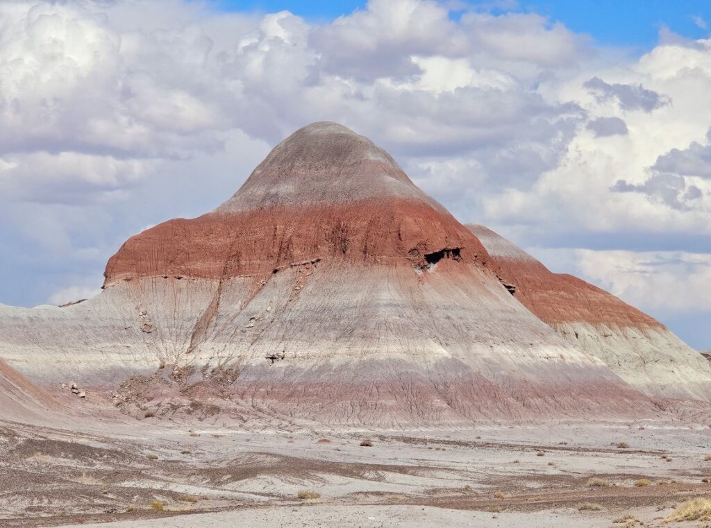
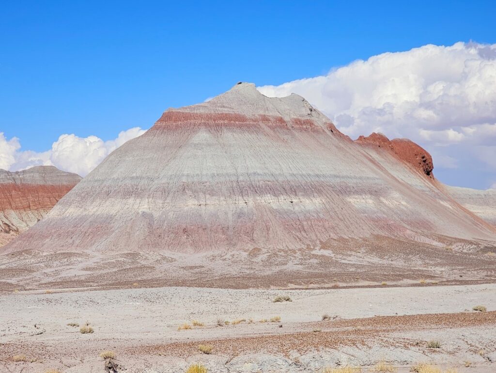
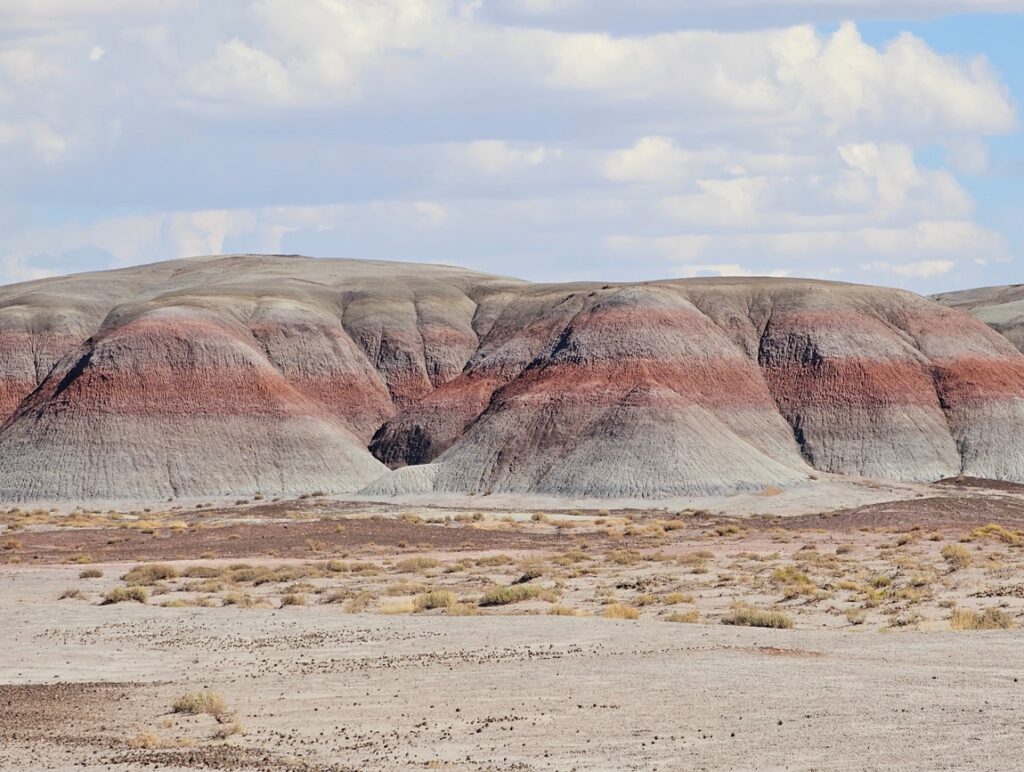
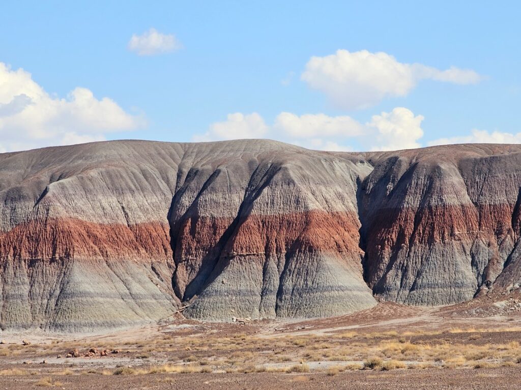
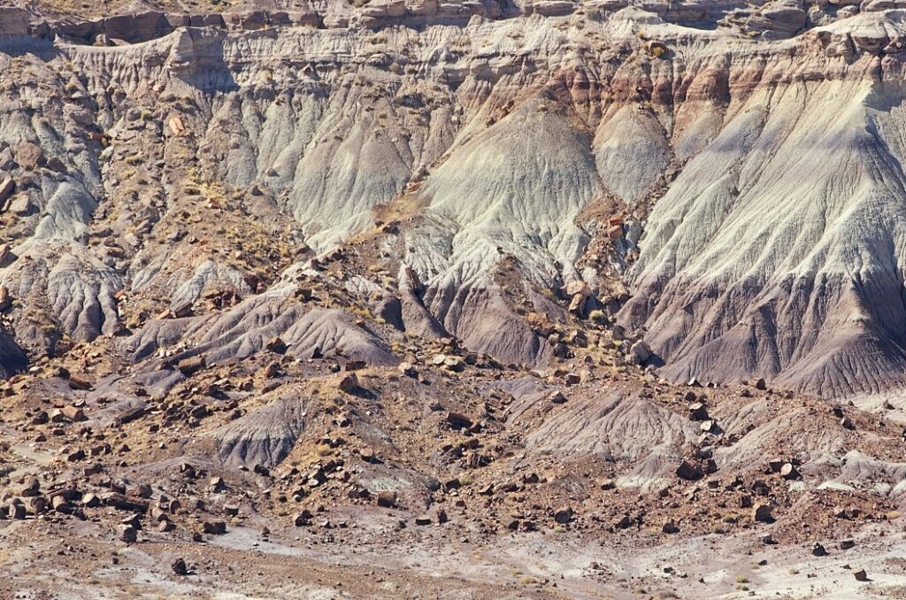
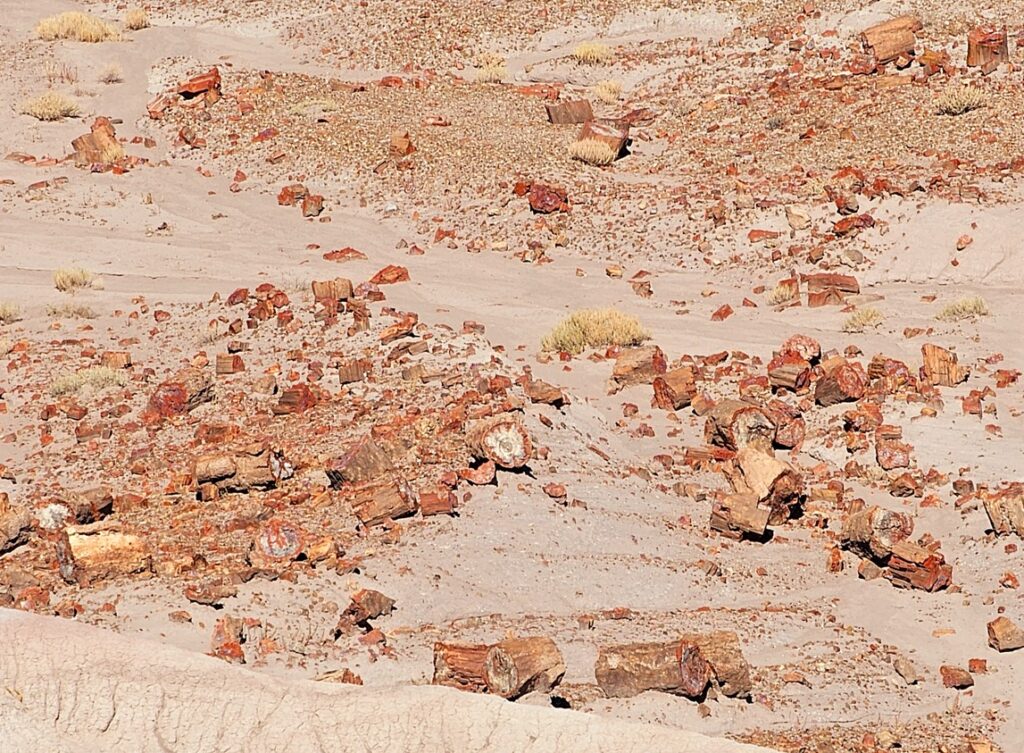
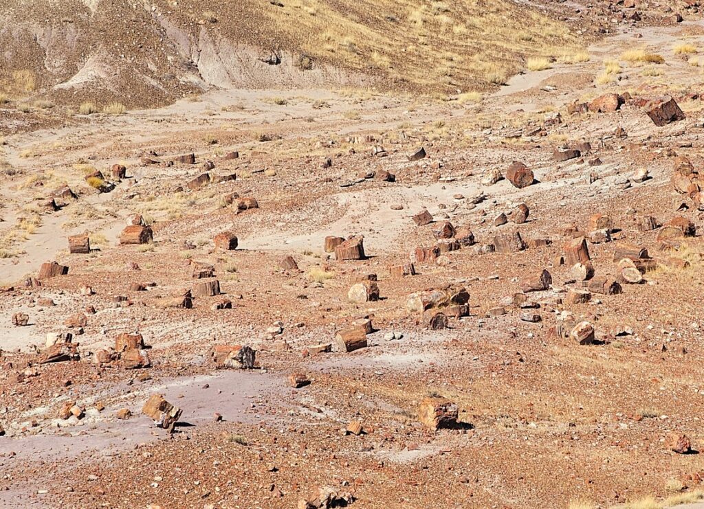
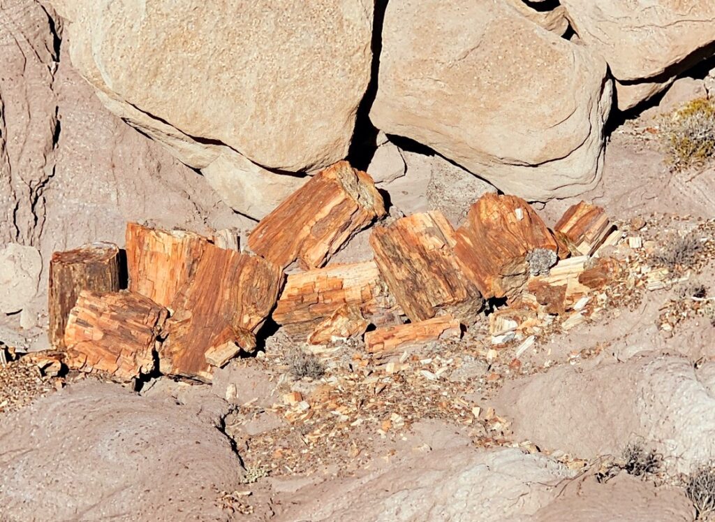
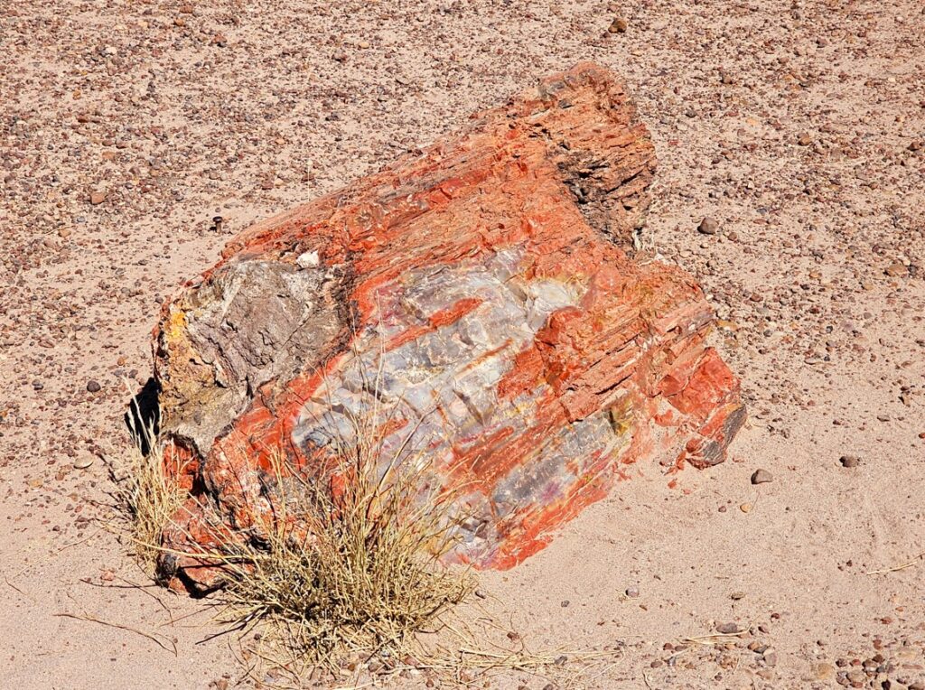
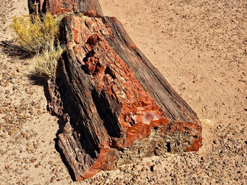
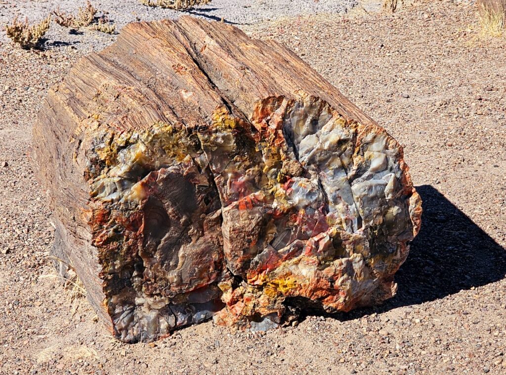
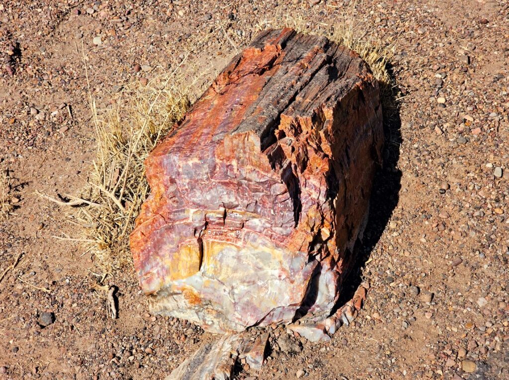
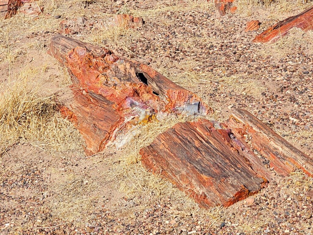
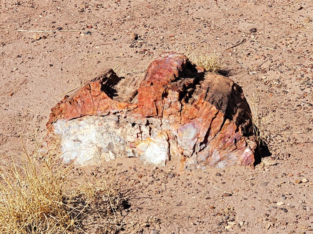
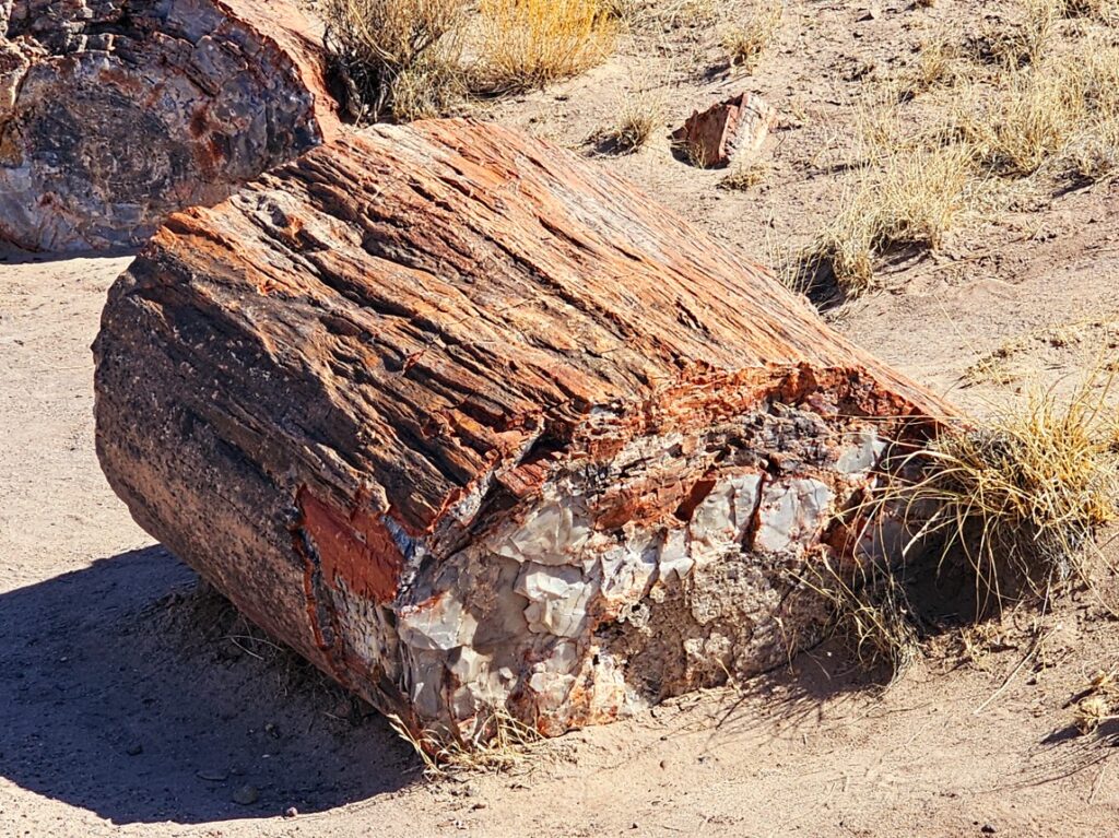
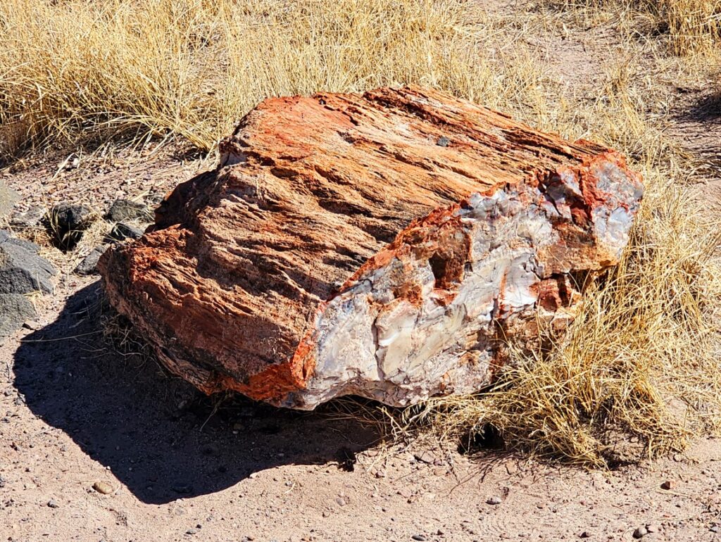
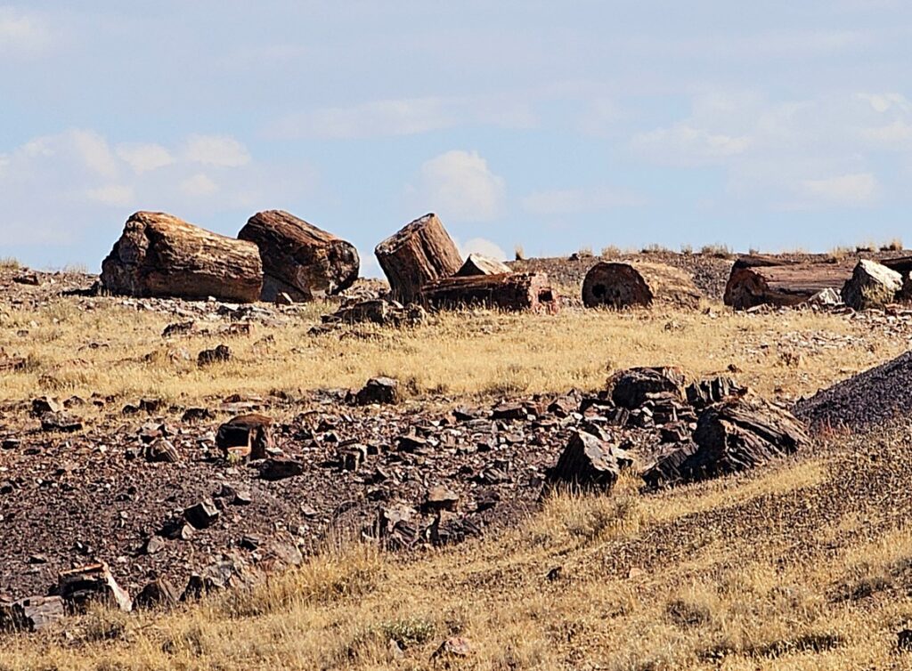
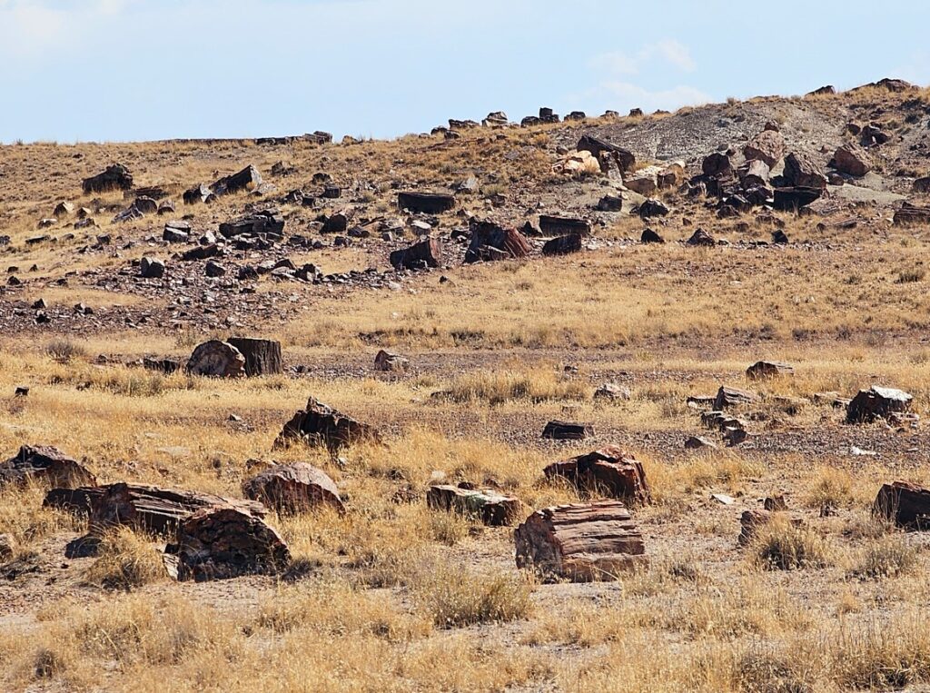
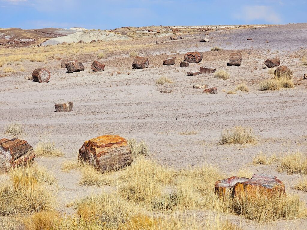
This National Park, just east of Holbrook AZ, is an unusual place. There is the painted desert which is very colorful landscape, ancient pueblos with petroglyphs, rock formations with more petroglyphs, and then fields of petrified wood of various colorations.
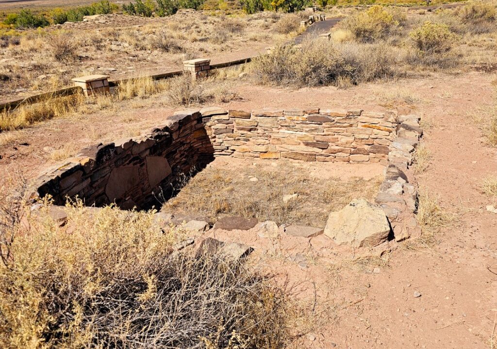
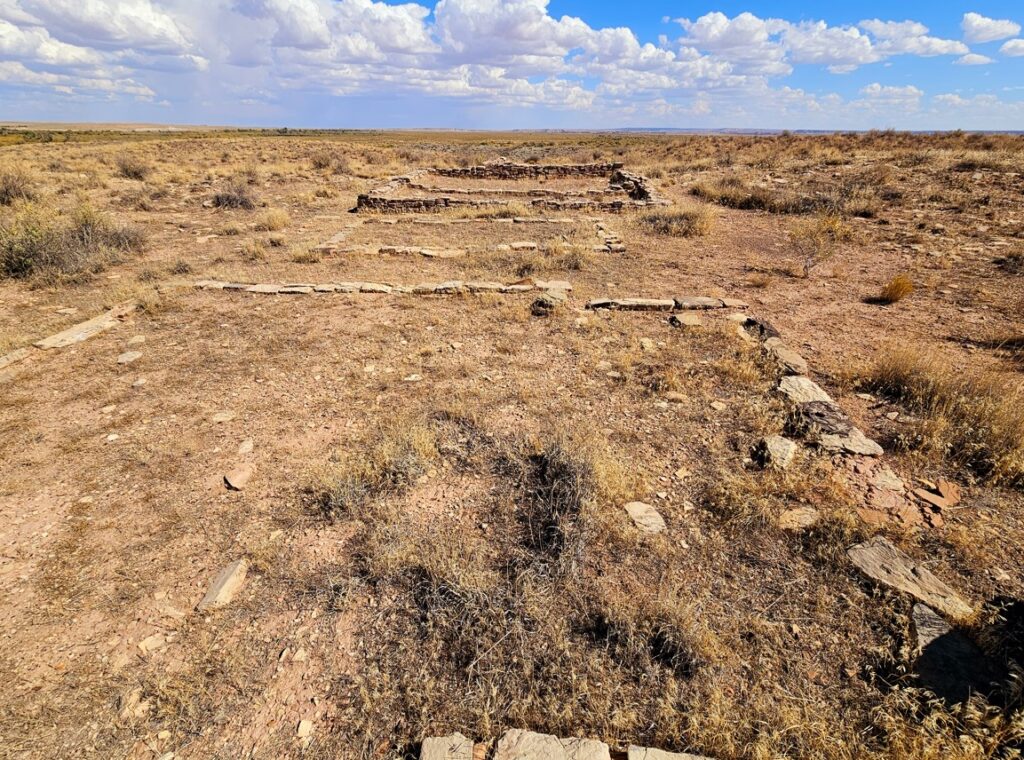
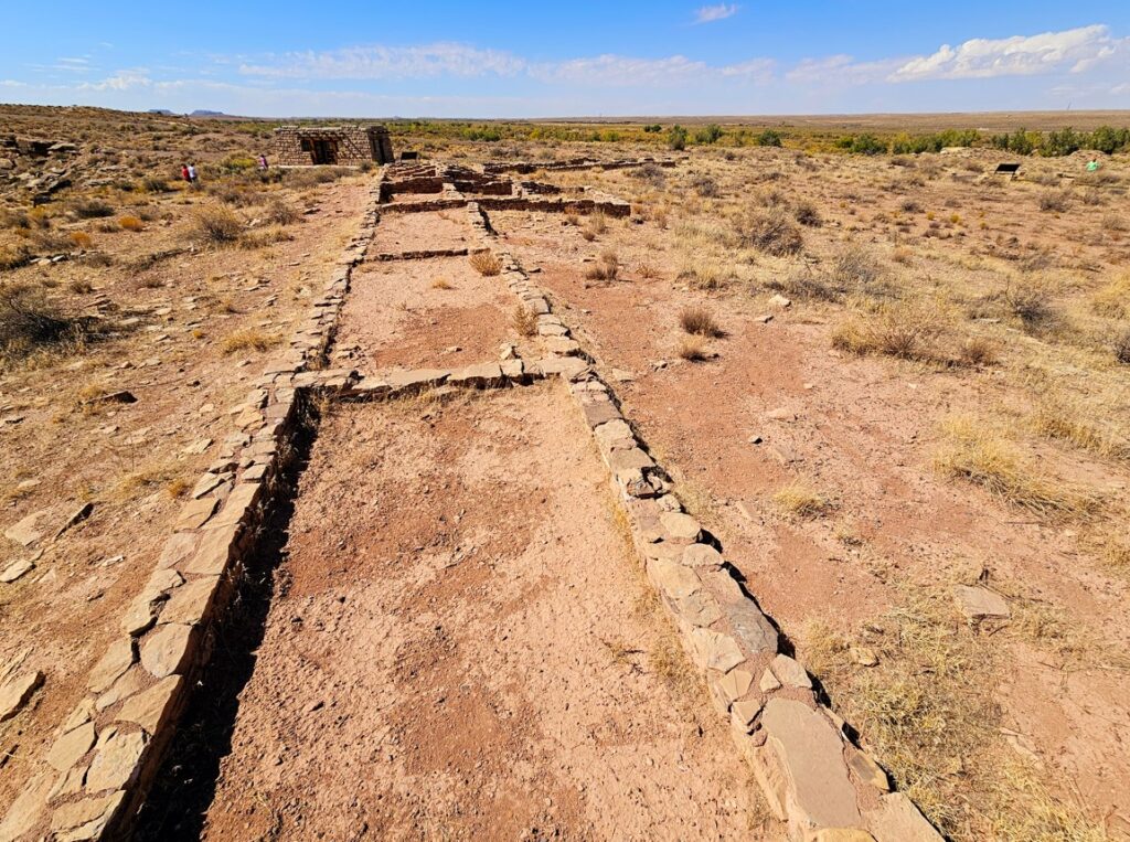
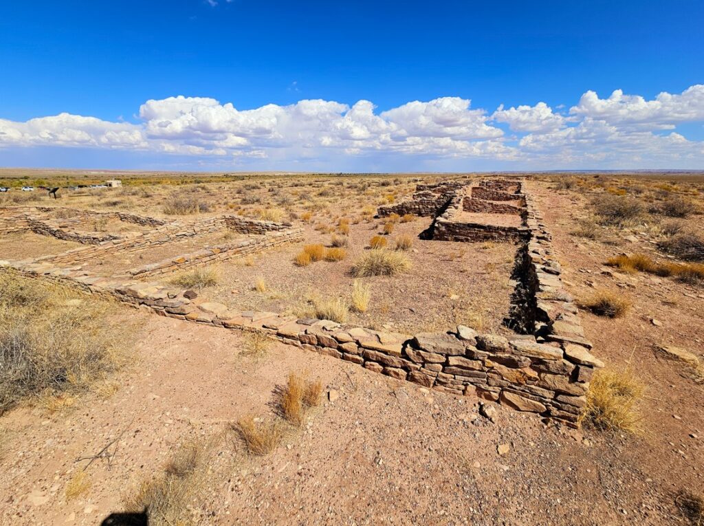
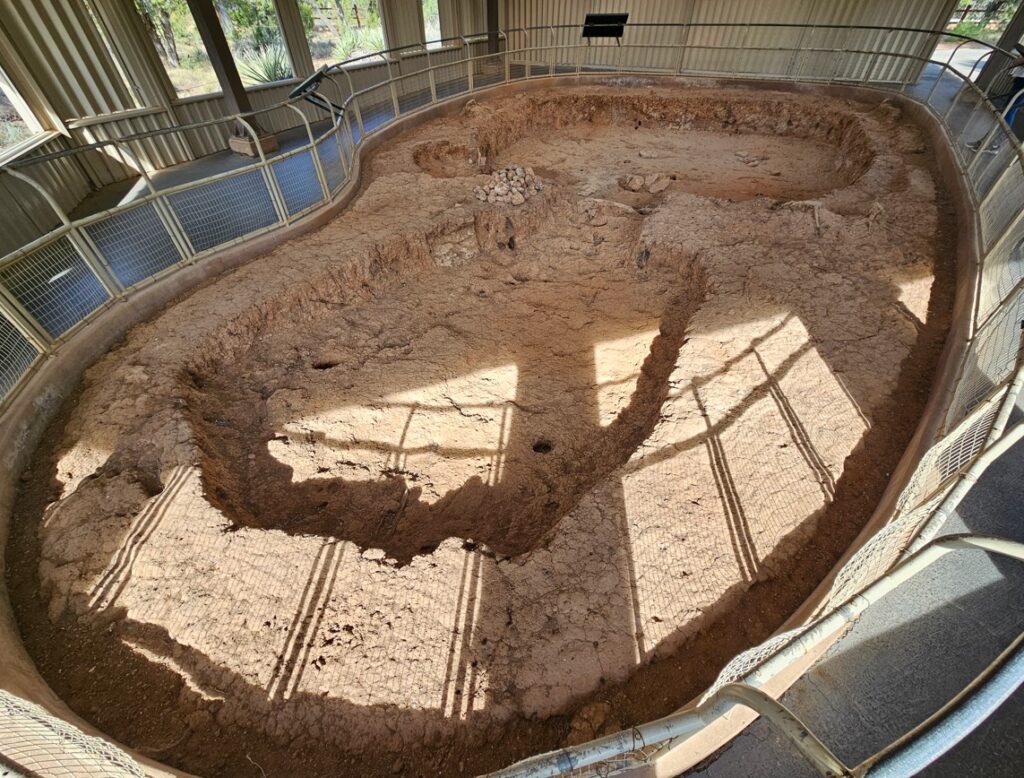
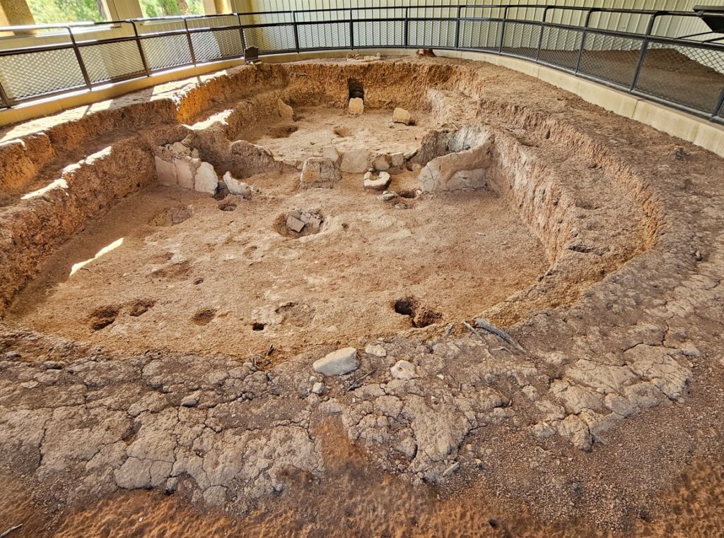
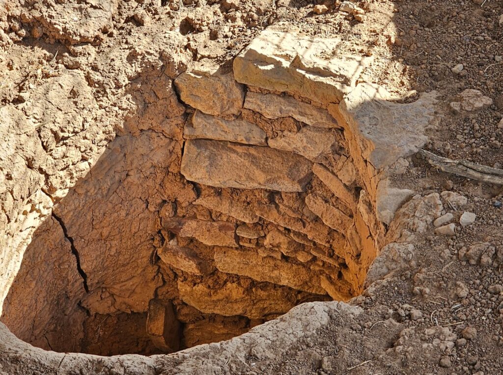
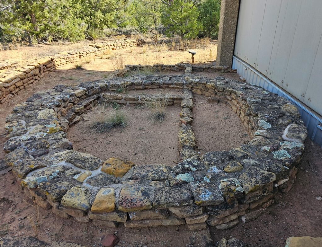
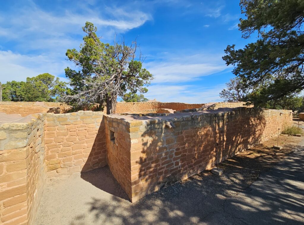
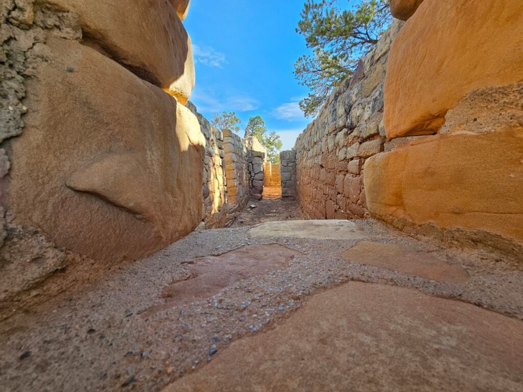
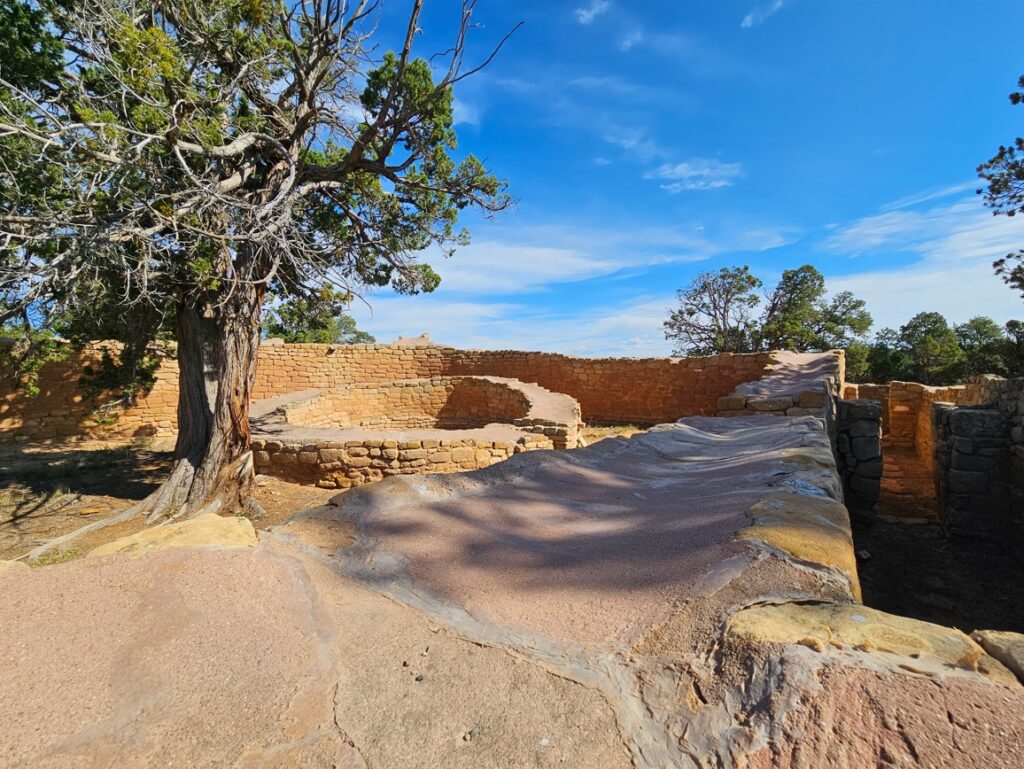
The village on the Rio Puerco (Puerco Pueblo) is a prehistoric settlement built of shaped sandstone blocks by ancestral Puebloan people. It was inhabited between 1250 and 1380 AD. At its peak the pueblo had over 100 rooms, with a possible population of 200 people. During the village’s occupation, fields of corn, beans, and squash sustained by the summer rains would have filled the river’s floodplain.
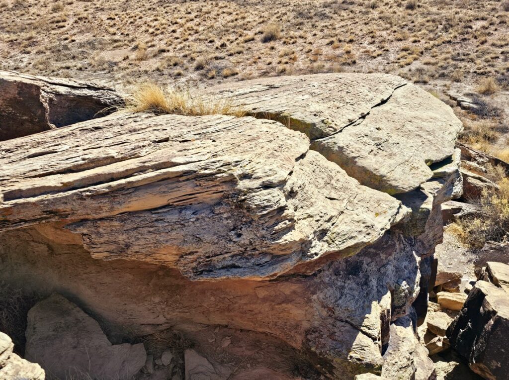
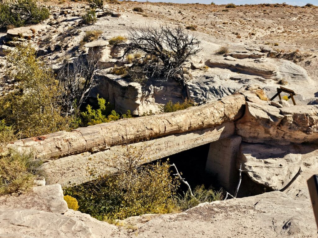
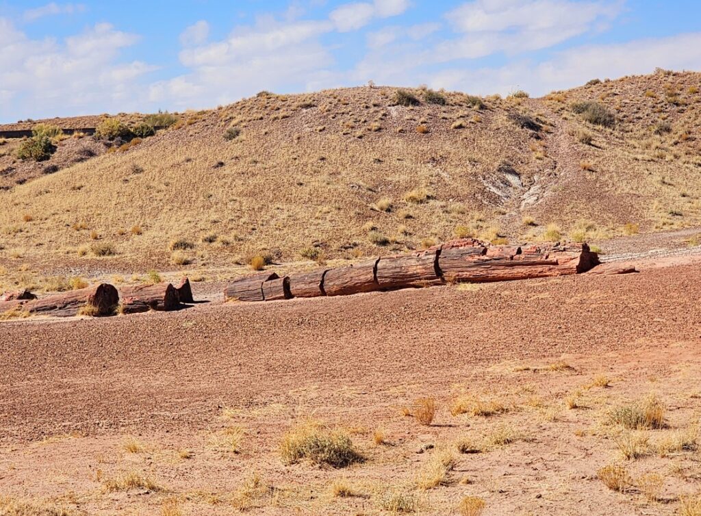
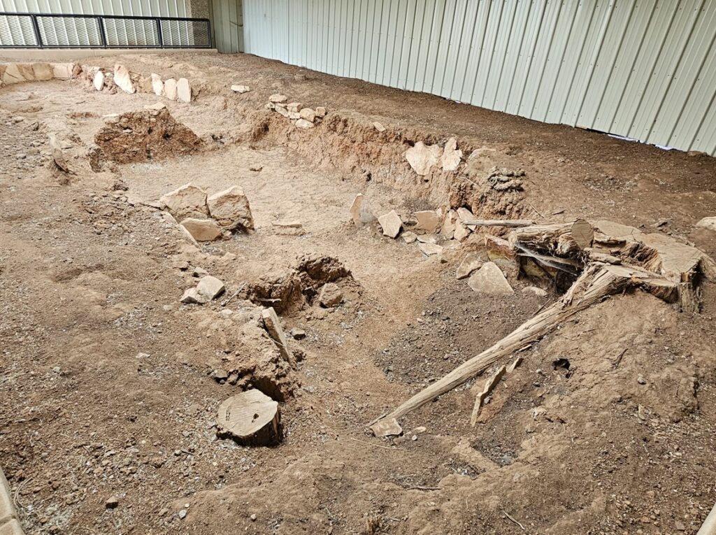
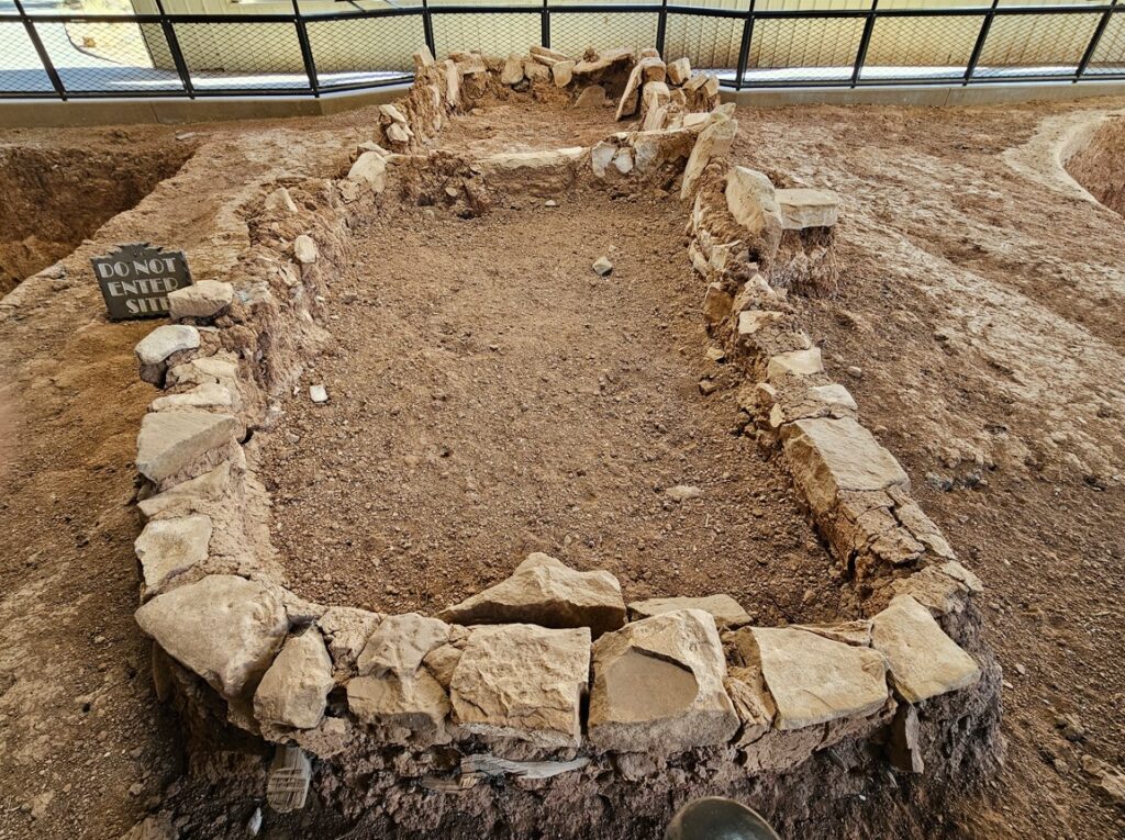
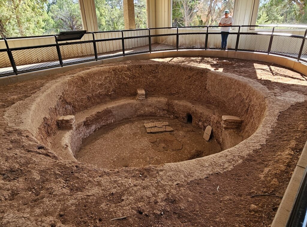
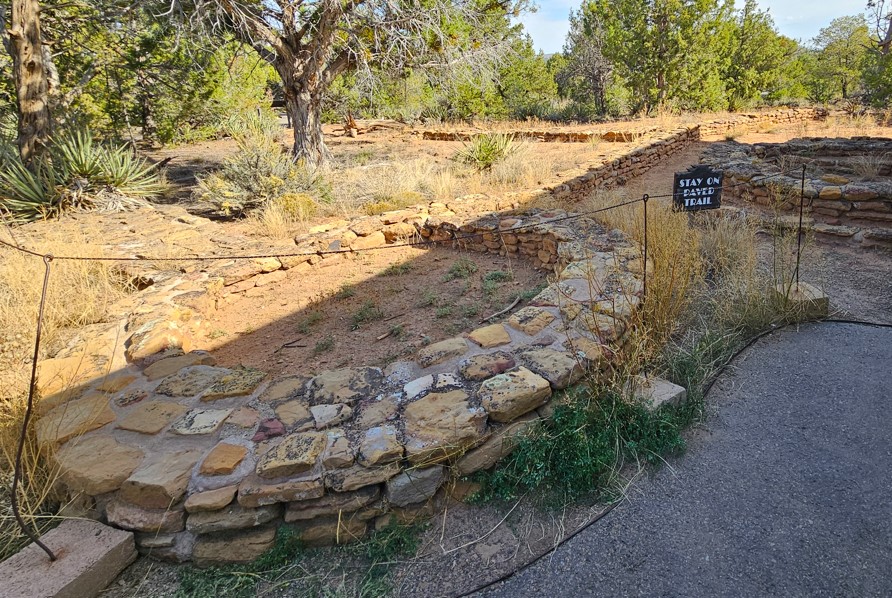
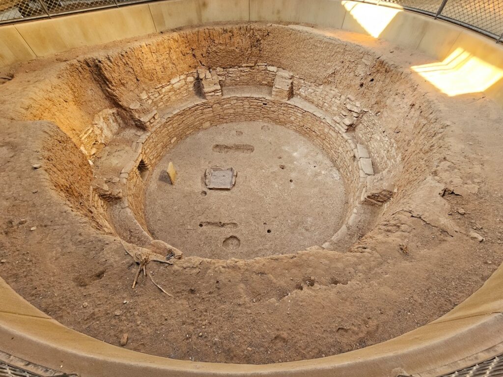
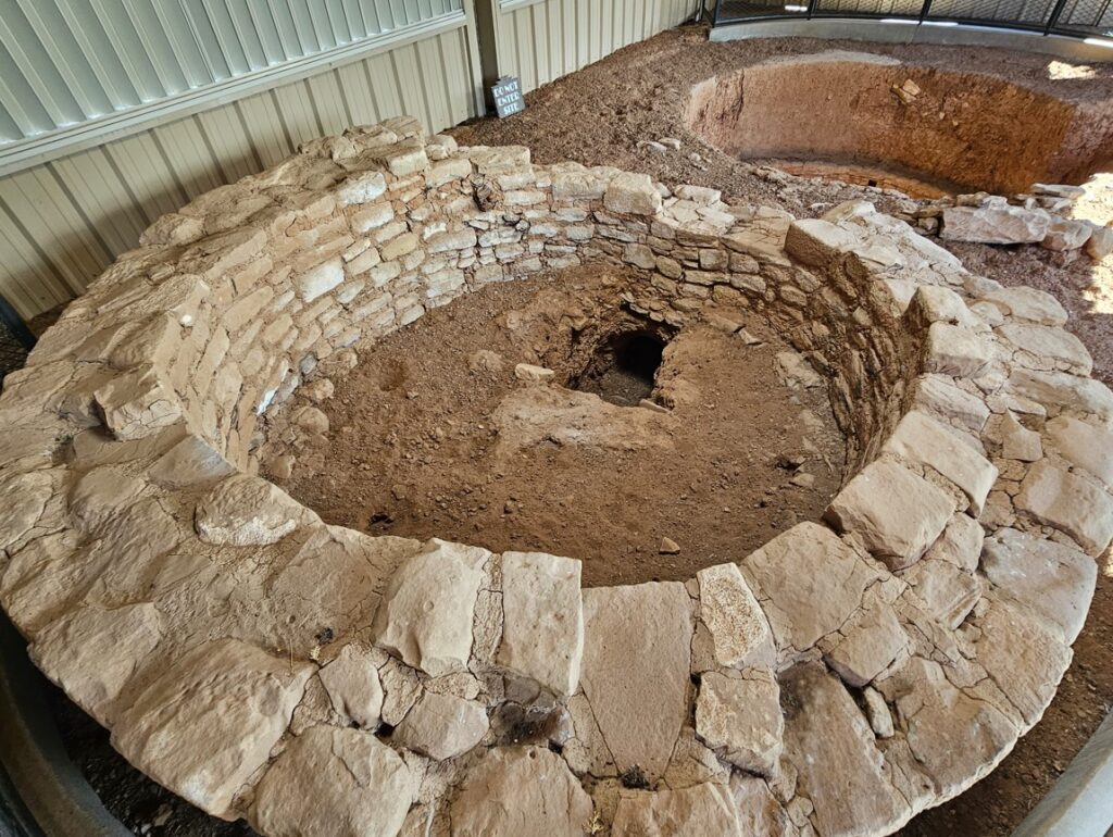
Kiva, a large room that is used for spiritual ceremonies and a place of worship.Puebloan ruins.Summer solstice marker. Prehistoric peoples used solar calendars to plan their lives around the changing season. Solstice days also marked important days for annual ceremonial cycles. The rising summer solstice Sun flows down the cleft in the boulder, creating light and shadows on the spiral petroglyph, changing daily until the light touches the center of the spiral.Petroglyphs.More elaborate petroglyphs.More Puebloan ruins.Newspaper rocks, with a plethora of petroglyphs.Notice the hand picture on the left.The TepeesAnother Tepee.A petrified tree, called the Agate Bridge.A petrified tree.Petrified logs.Beautiful colors.All of these log segments are petrified wood.
In his hand are the depths of the earth, and the mountain peaks belong to him. The sea is his, for he made it, and his hands formed the dry land. -Psalm 95:4-5
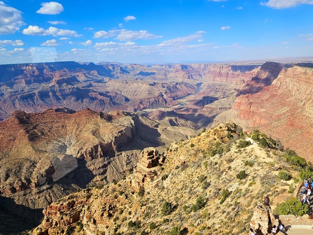
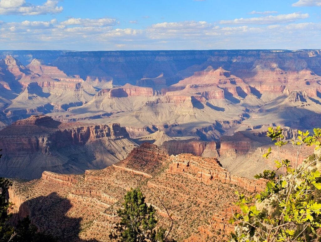
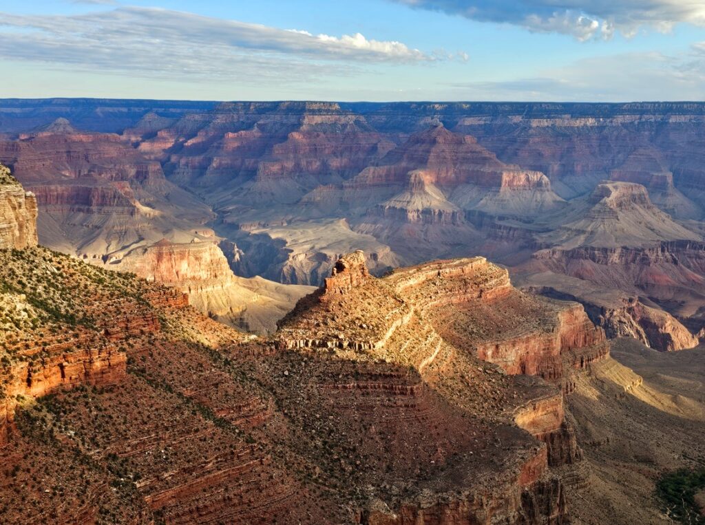
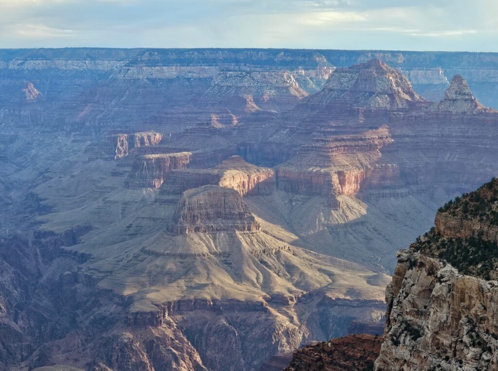
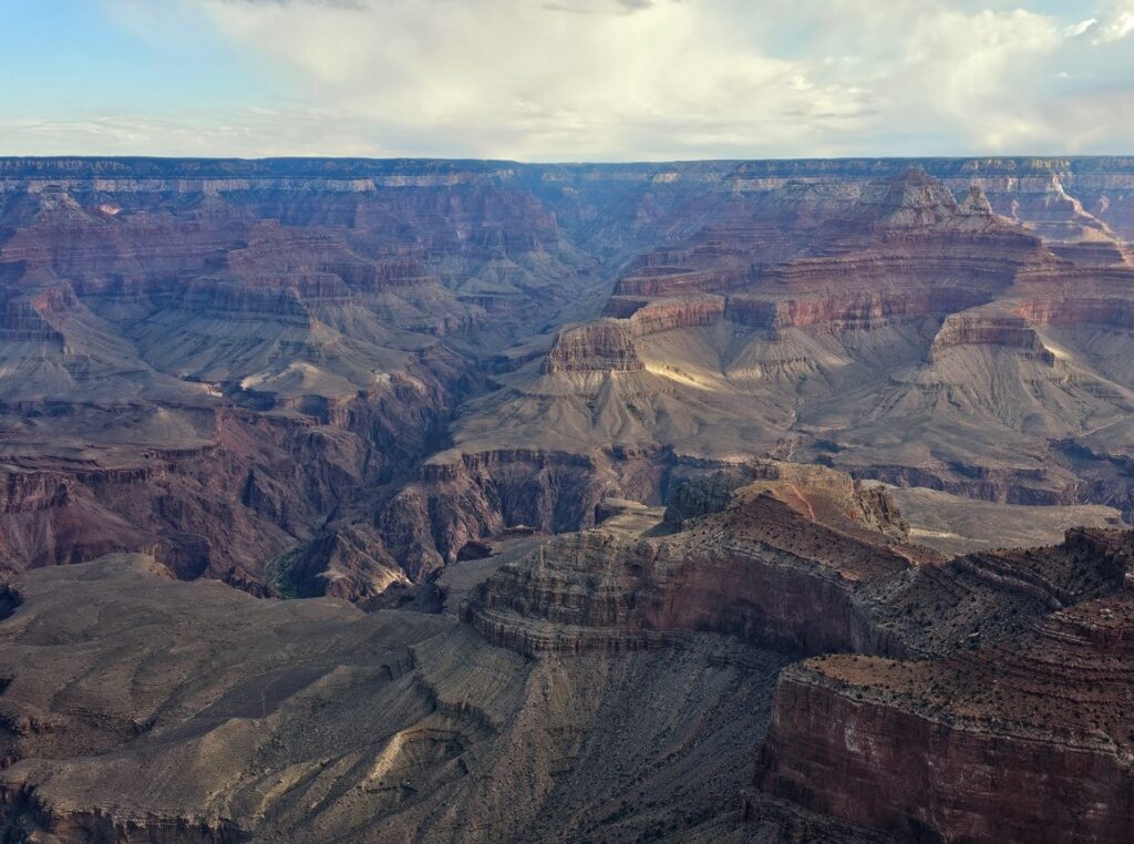
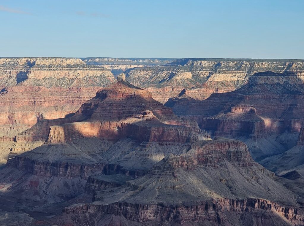
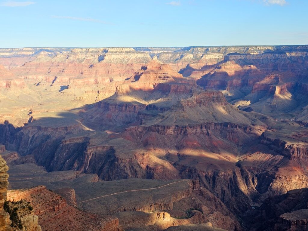
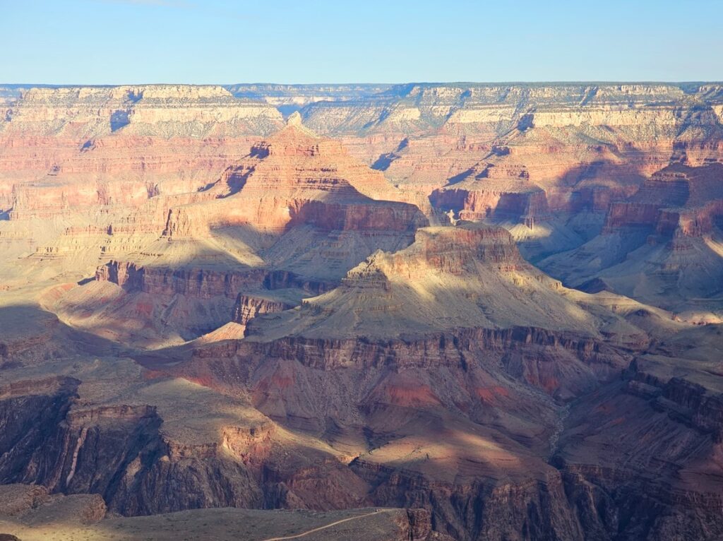
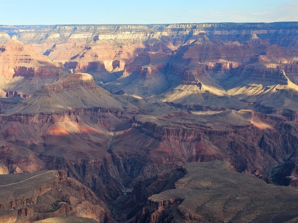
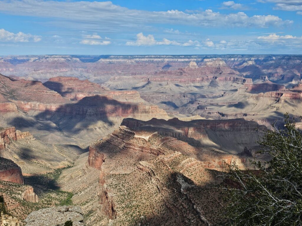
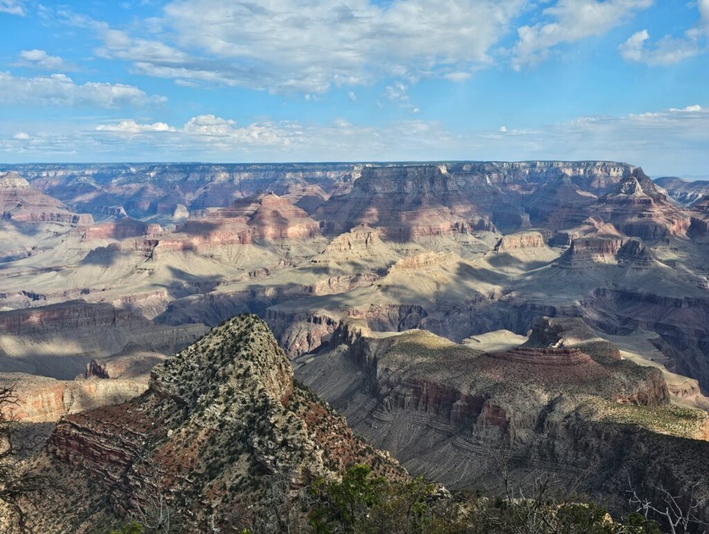
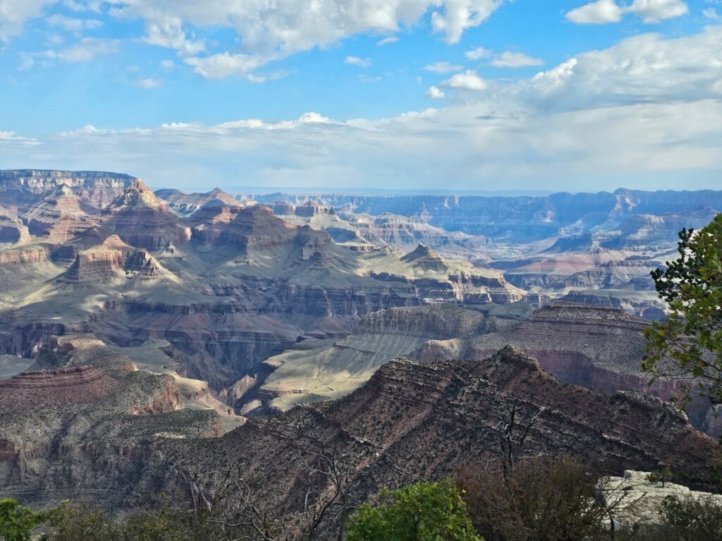
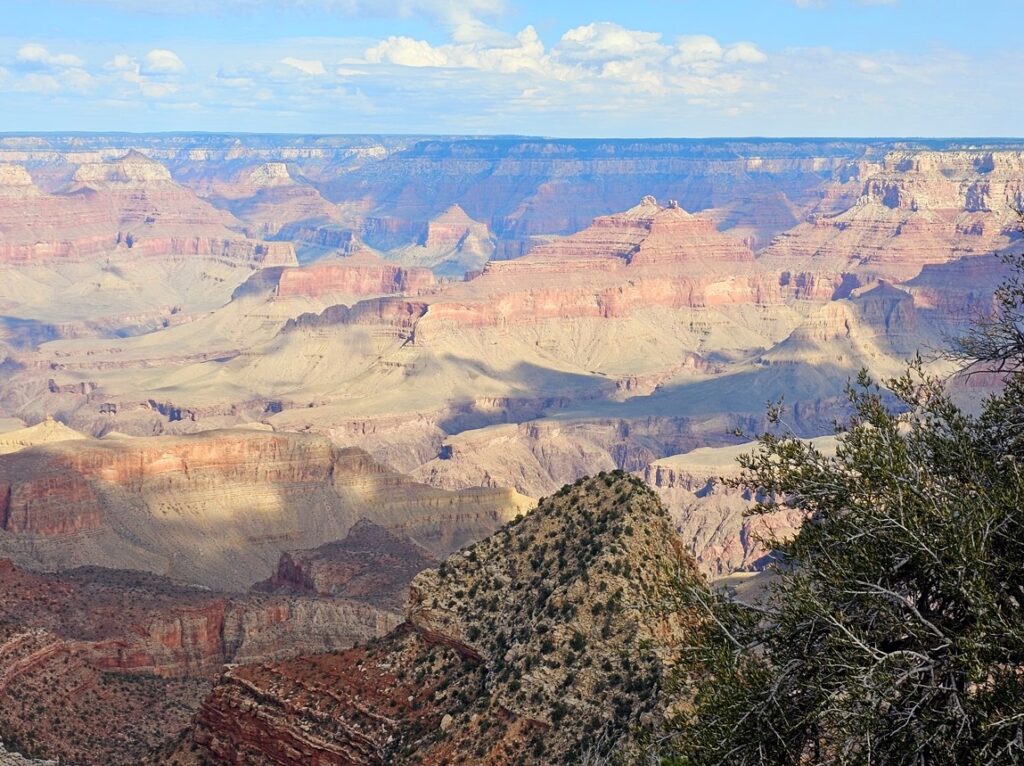
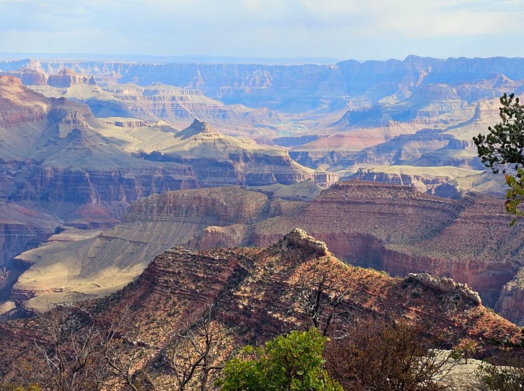
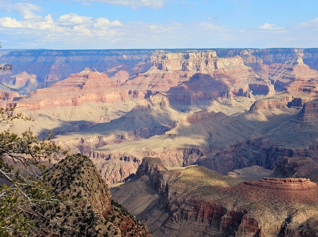
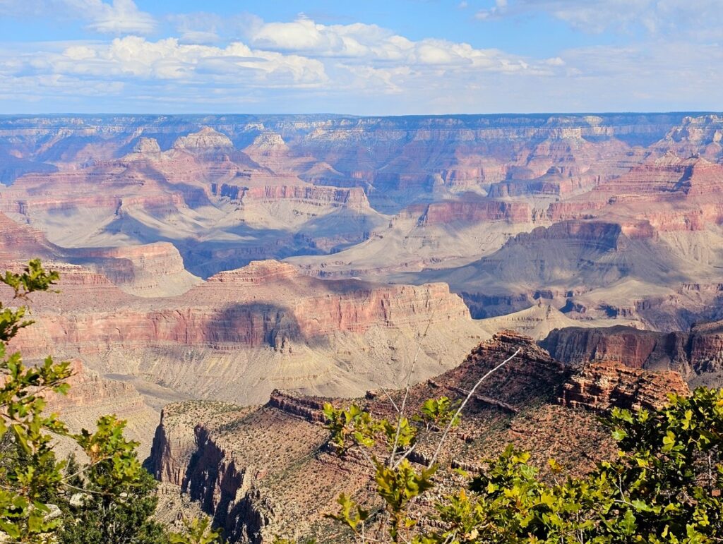
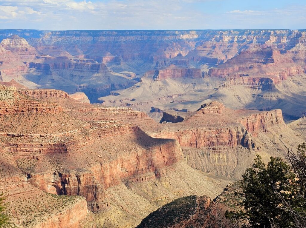
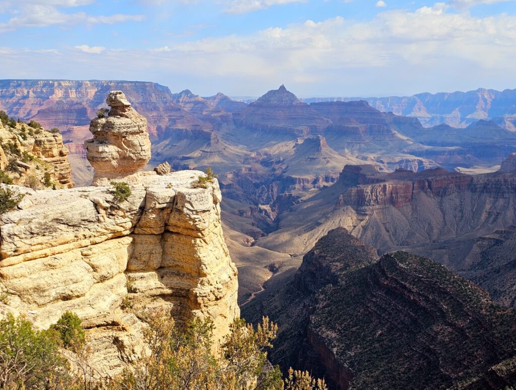
It is hard to give a sense of the size of the Grand Canyon in pictures. You must see it in person to understand how huge it is. Nonetheless, here are some pictures to show small glimpses of the beauty of the Grand Canyon.This is called Duck on a Rock.
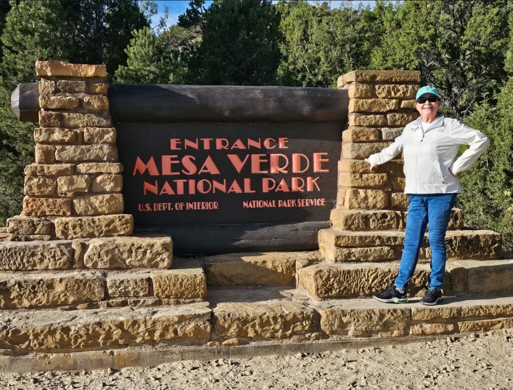
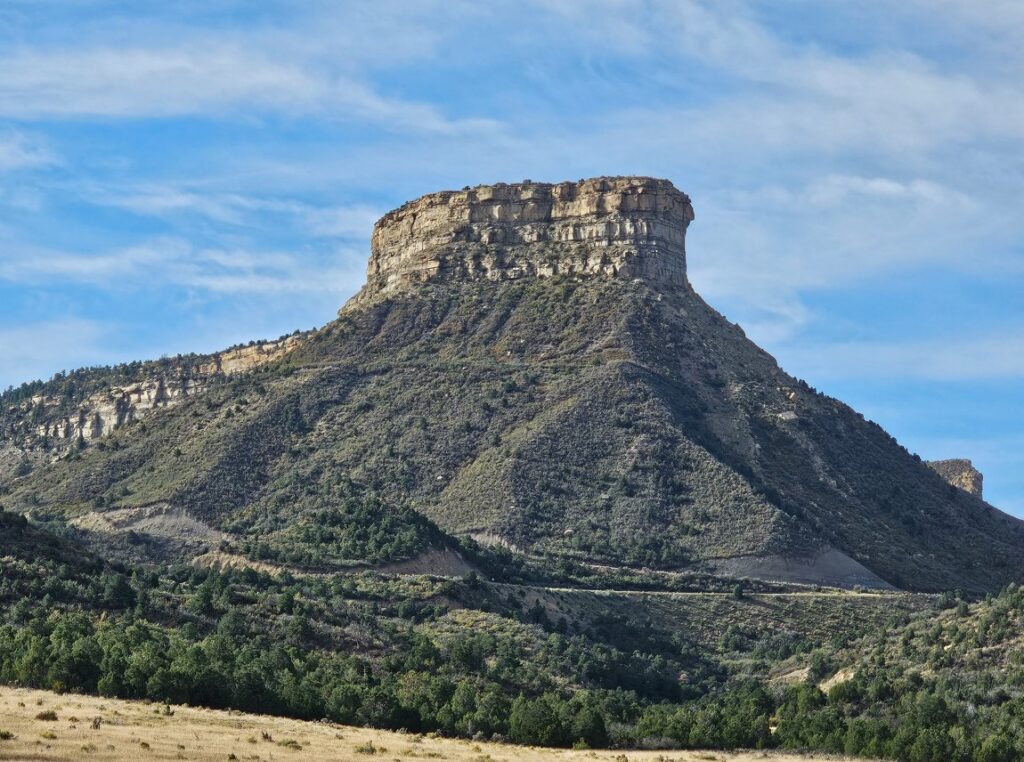
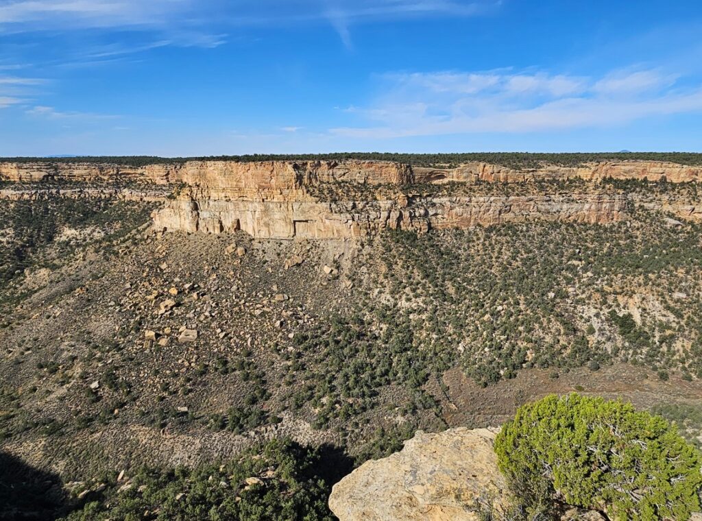
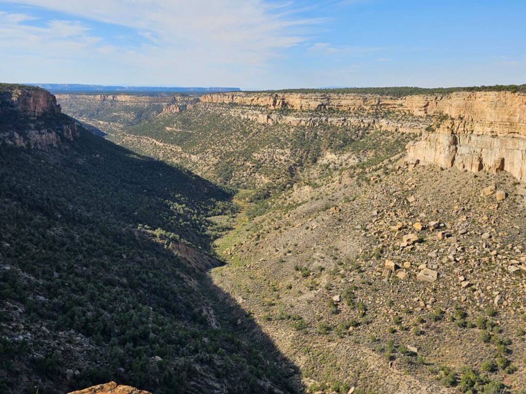
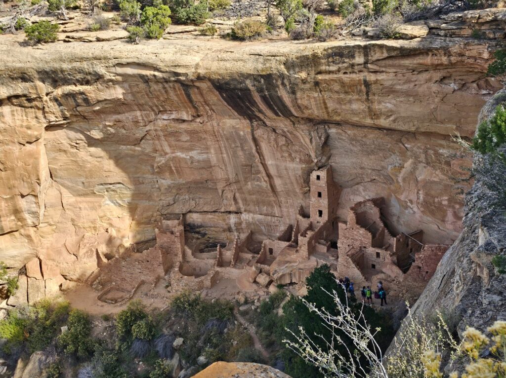
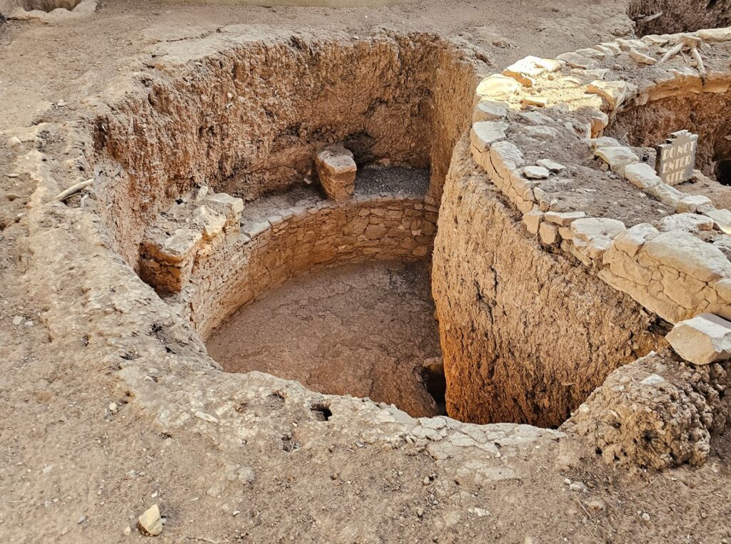
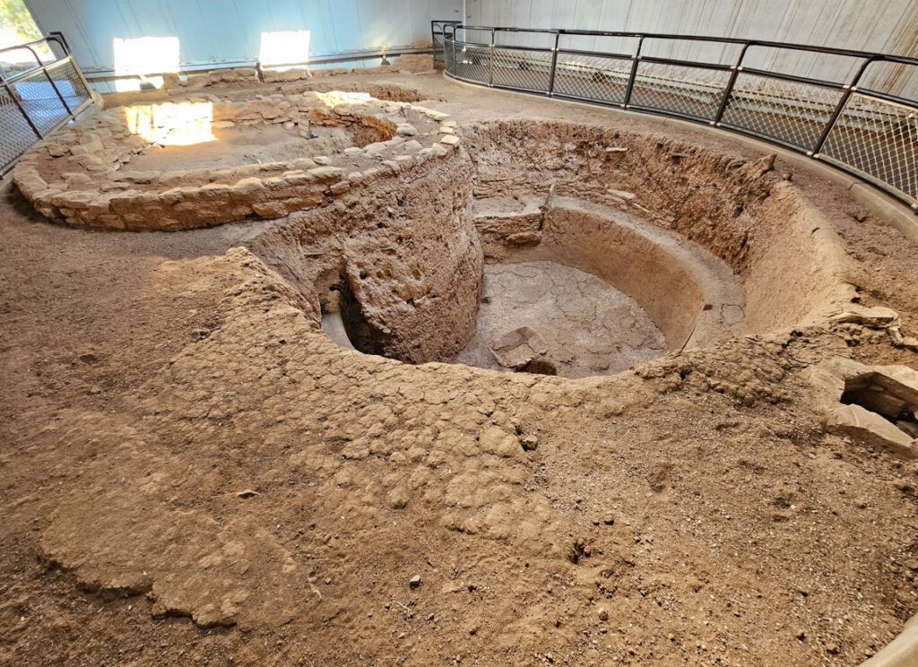
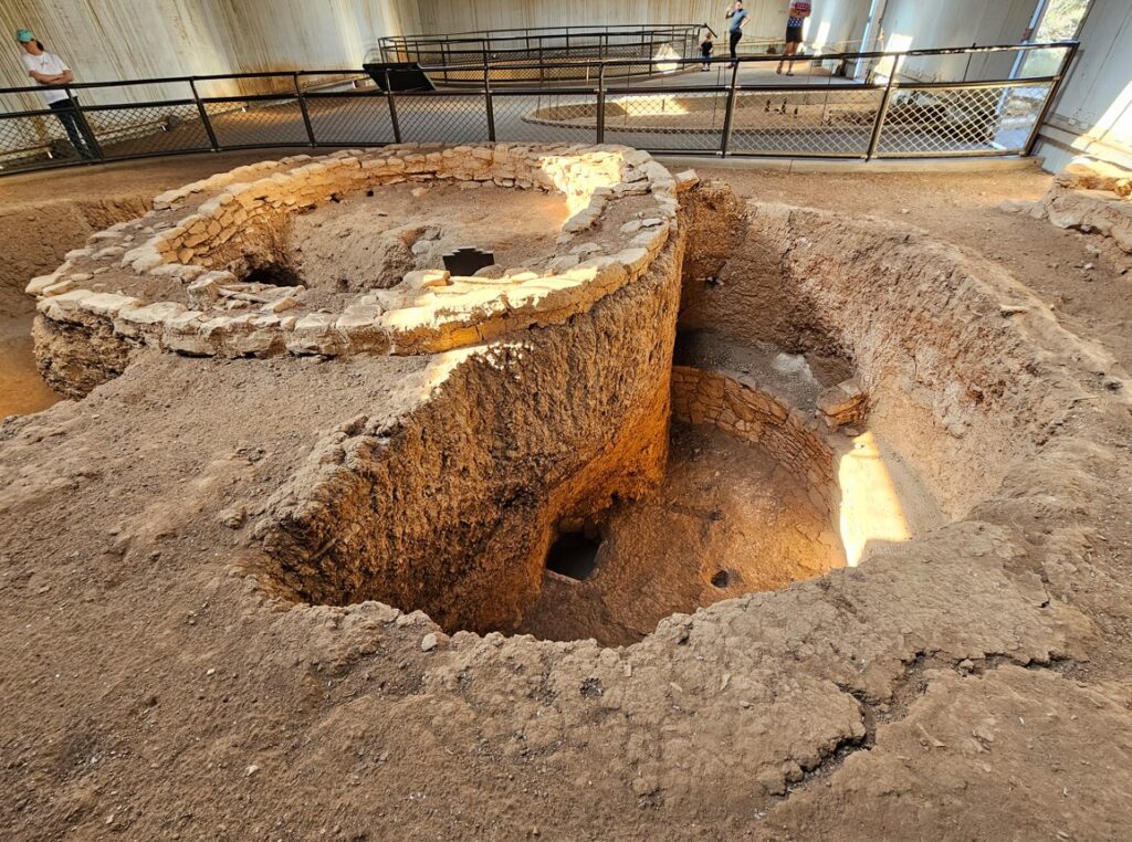
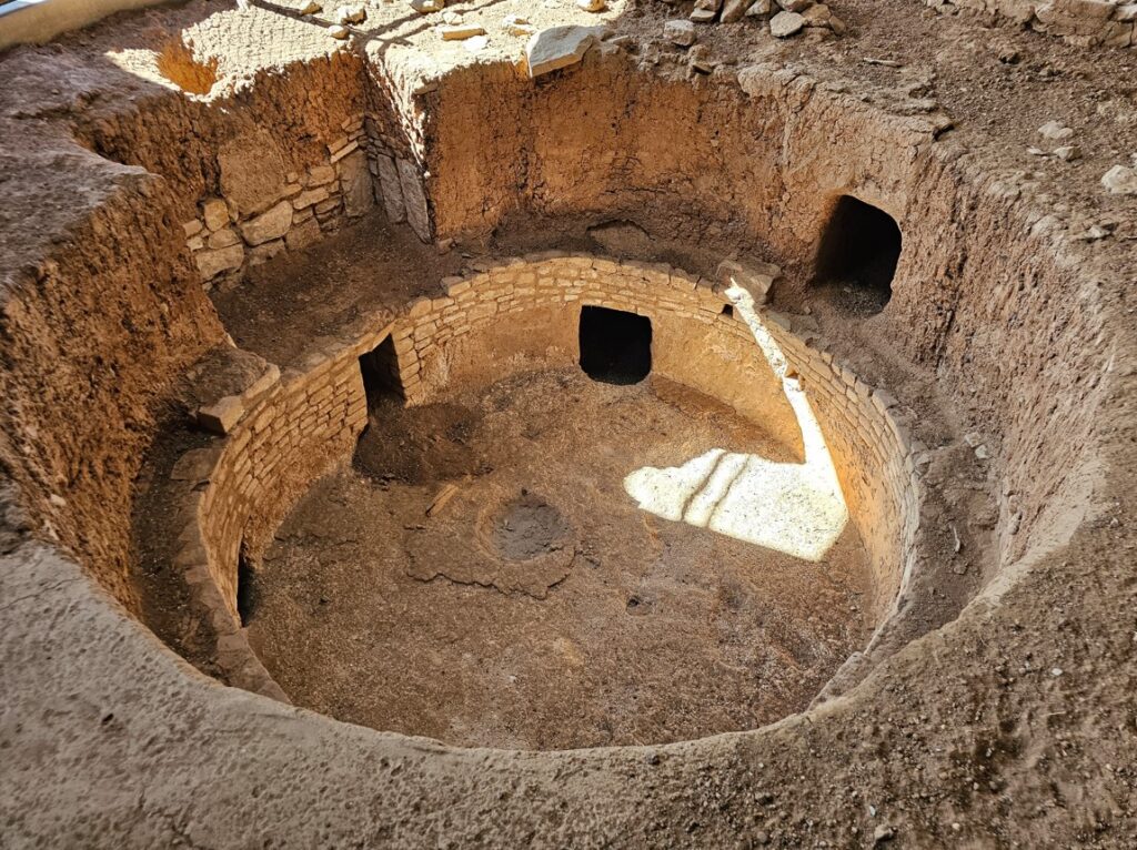
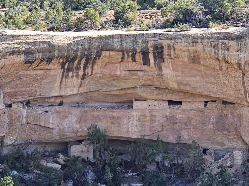
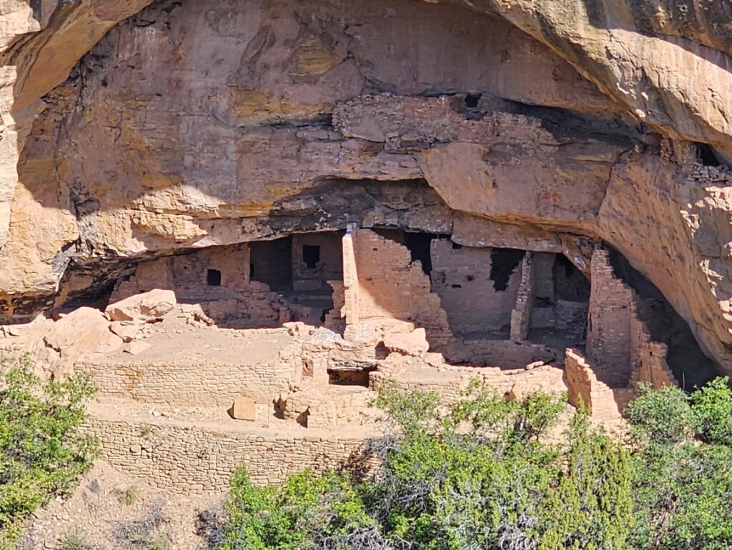
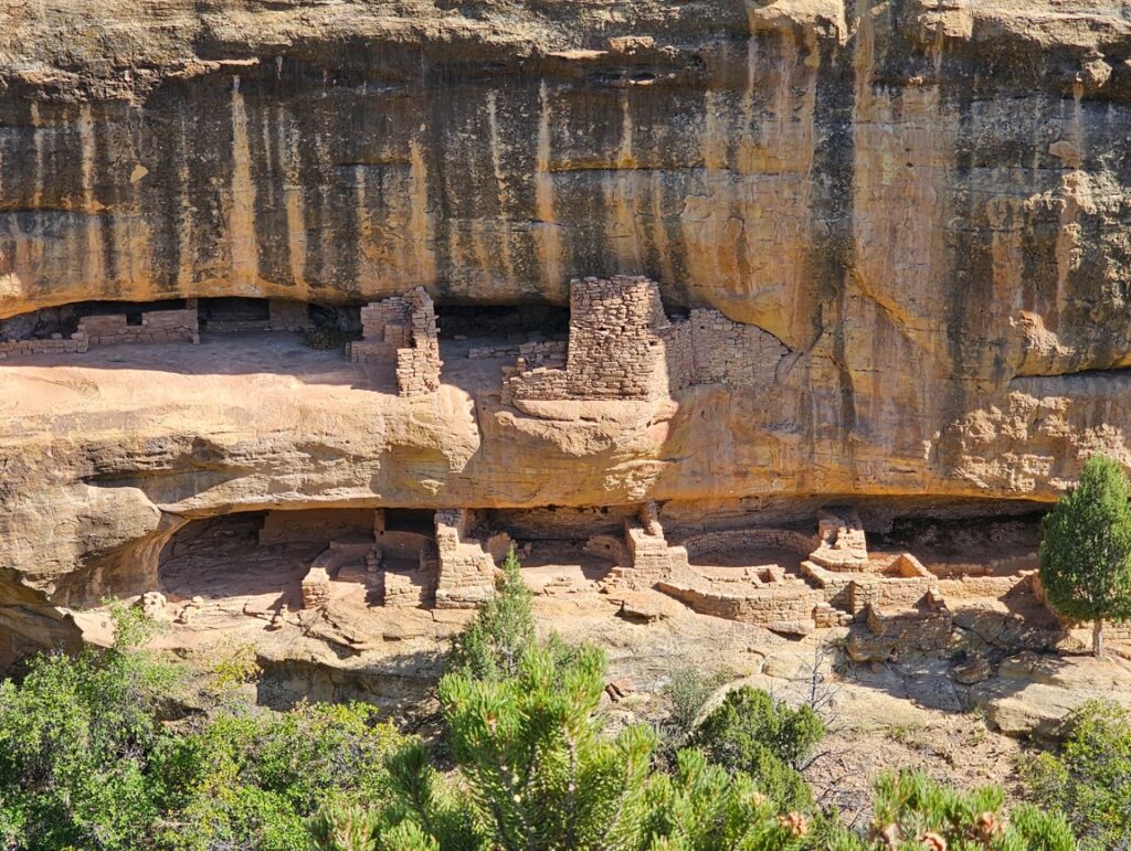
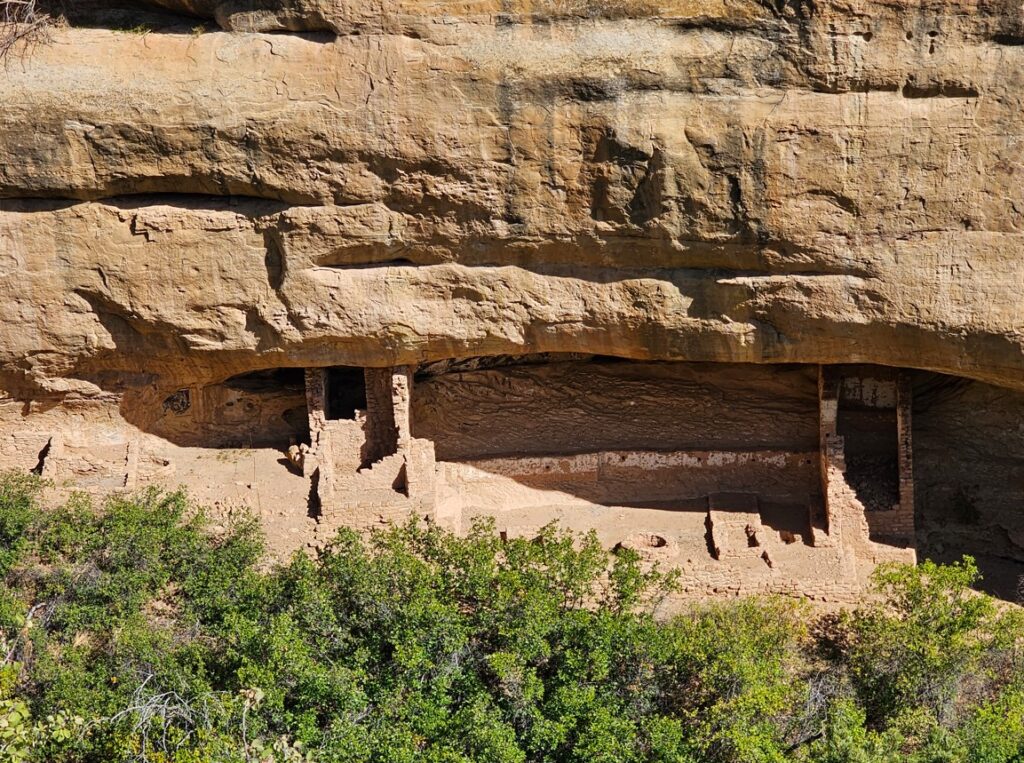
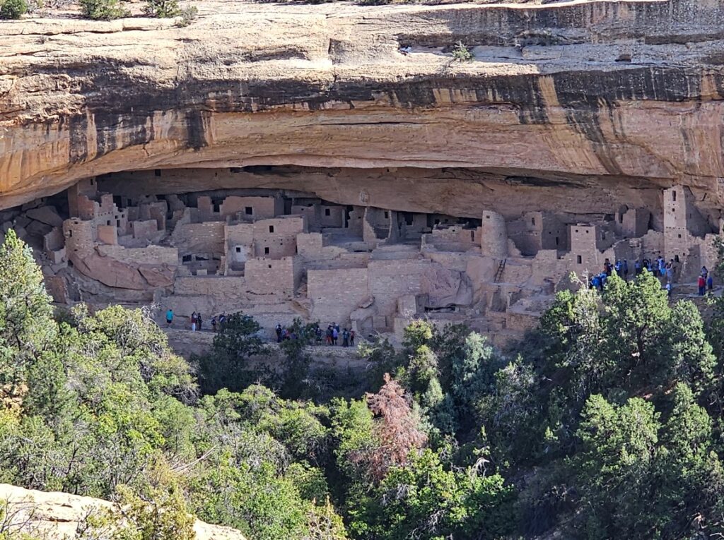
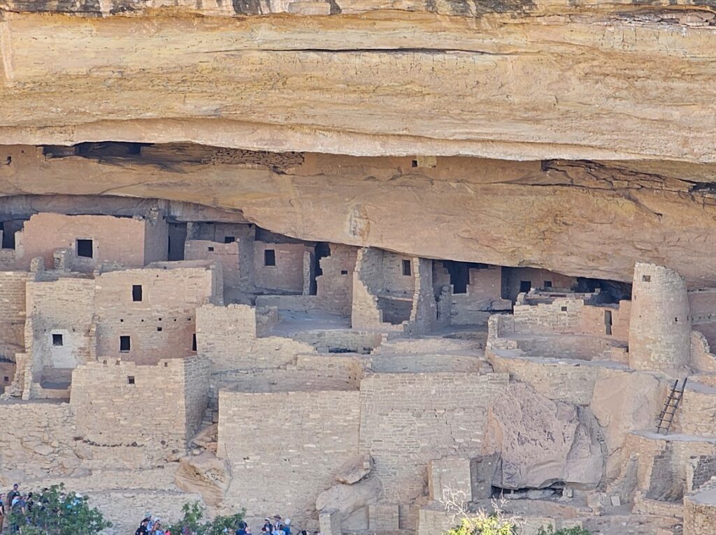
Mesa Verde is home to many cliff dwellings, pueblos and pit houses. This region was home to about 40,000 people as late at the 1200s AD. Current tribes who trace their ancestors to this area include the Pueblo, Hopi, Ute, Navajo and Apache. Many still consider this a sacred place and return to make pilgrimages to reconnect with their ancestors, share knowledge and gather medicines.Point LookoutPit house, circa 595 AD.Navajo Canyon.Navajo Canyon.Square Tower House, circa 1200-1300 AD.Pit Houses and Pueblos, circa 700-950 AD.Pit Houses and Pueblos, circa 700-950 AD.Pit Houses and Pueblos, circa 700-950 AD.Pit Houses and Pueblos, circa 700-950 AD.Pit Houses and Pueblos, circa 700-950 AD.This large, deep, and impressive kiva, built about 1074 AD, is part of the last village built at this site.Sun Point Pueblo, circa 1200s AD.Sun Point View. This is the Sunset House.Oak Tree House, a fifteen room cliff dwelling.New Fire House, twenty-two room cliff dwelling.Fire Temple, circa 1250 AD.Sun Temple, circa 1250 AD.Sun Temple. Sun Temple. Cliff Palace. This is the star of the park. With park rangers, visitors can climb down and up ladders to see and walk through some of the rooms. We saw the palace from across the canyon. Close up of the left side.Close up of the right side.
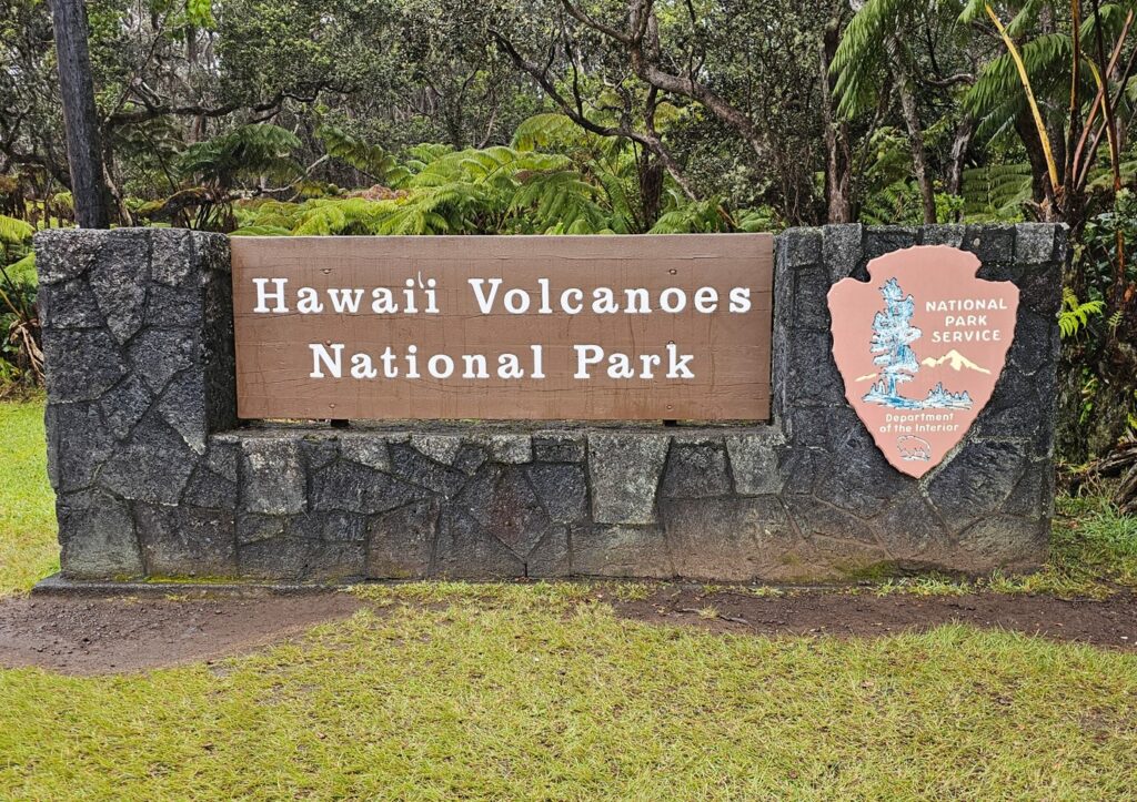
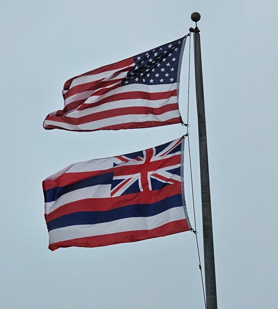
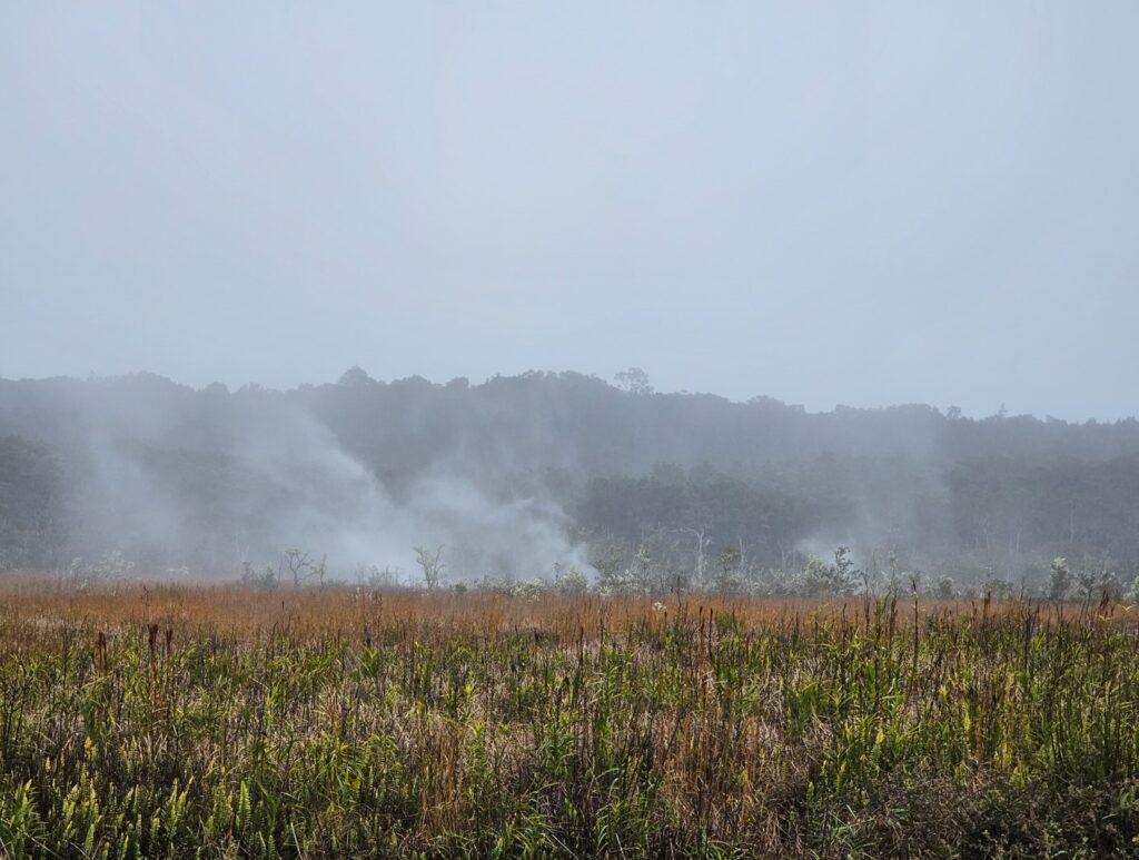
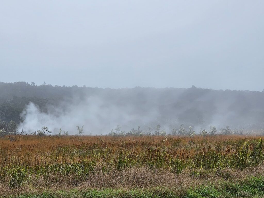
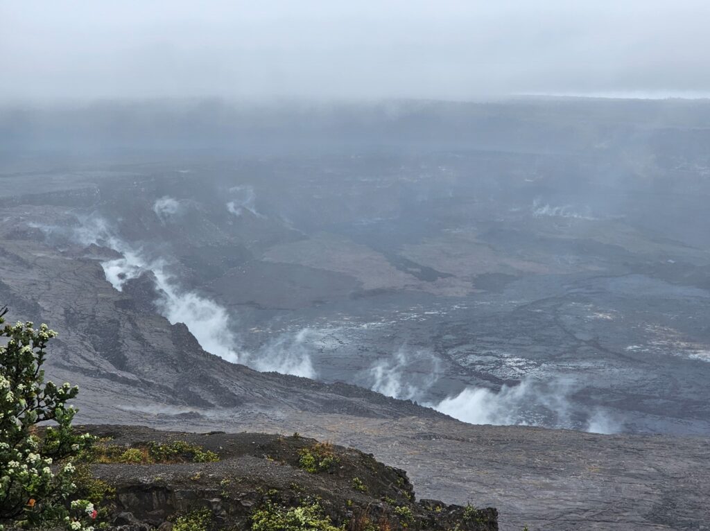
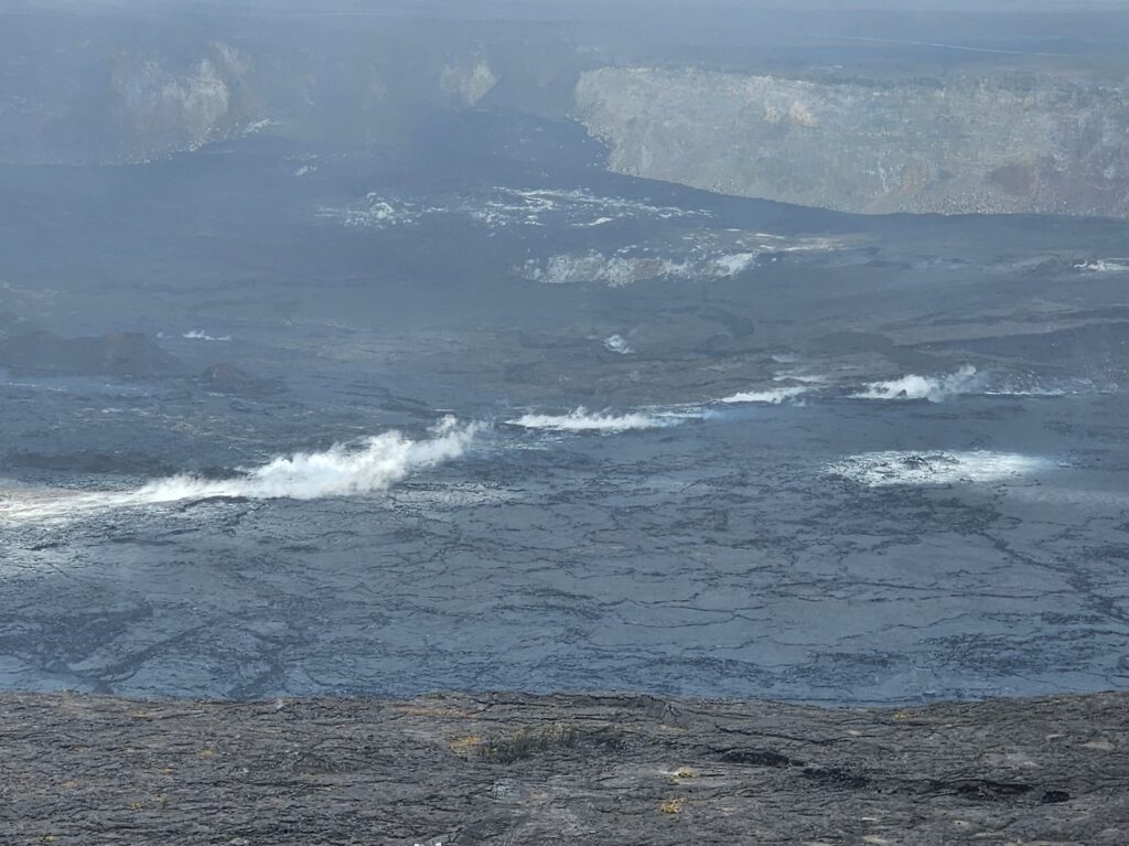
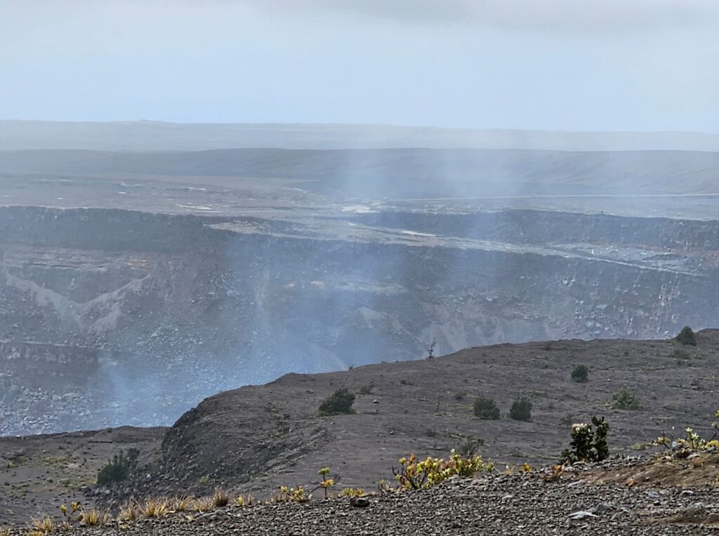
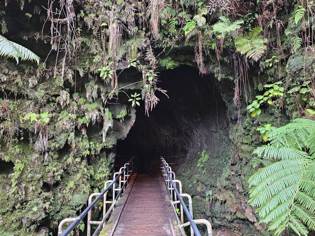
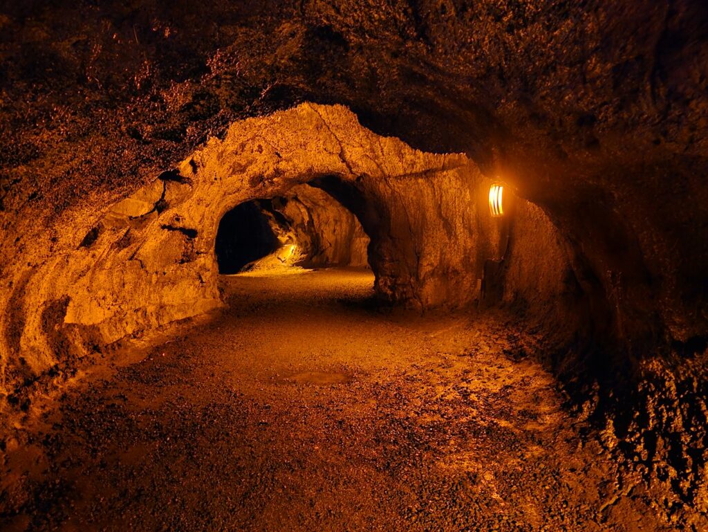
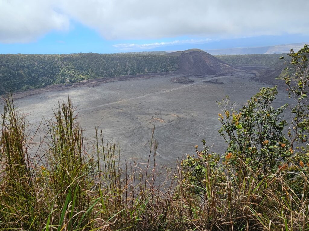
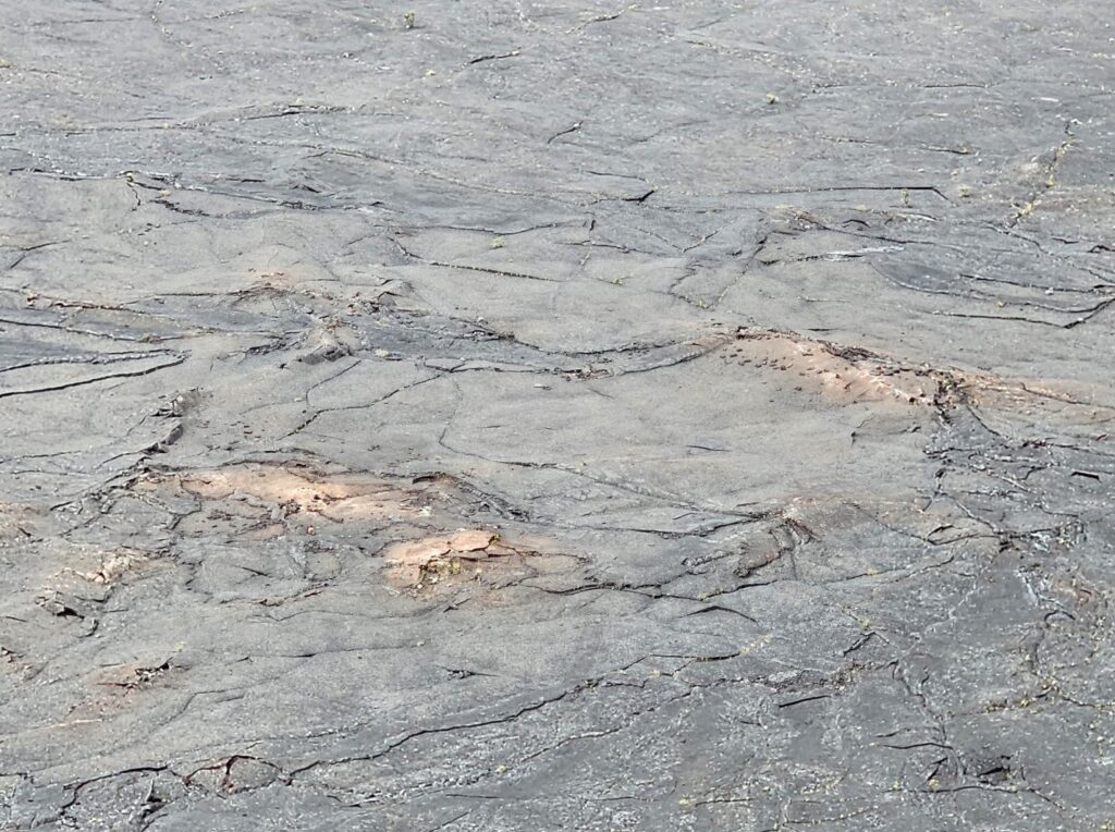
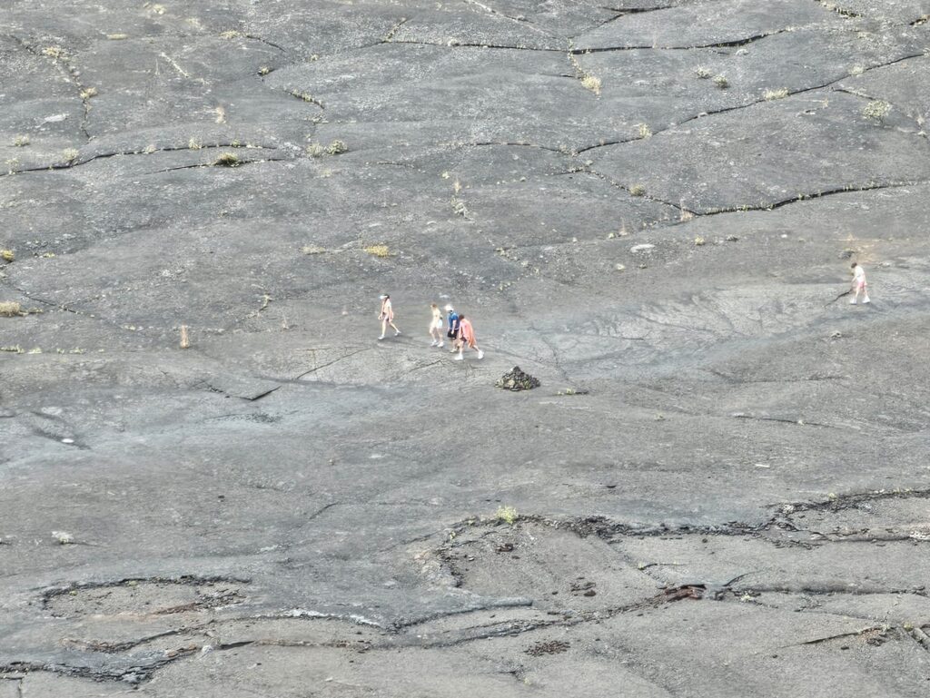
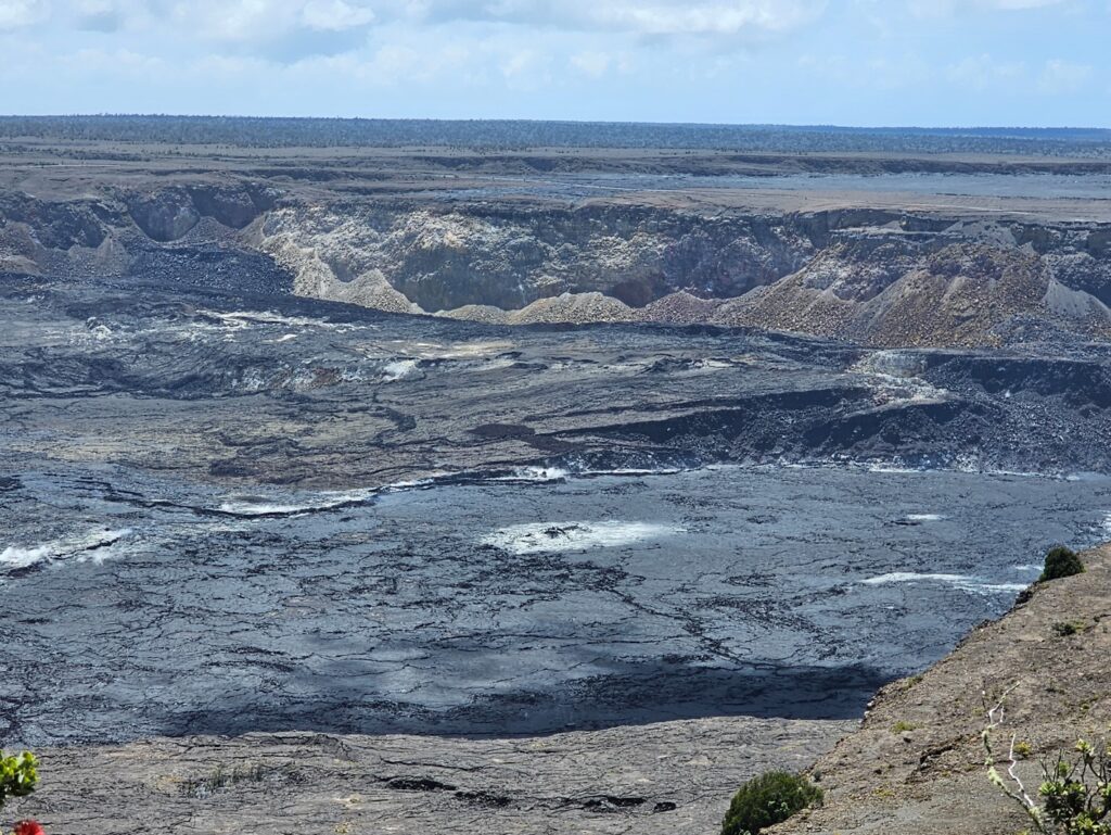
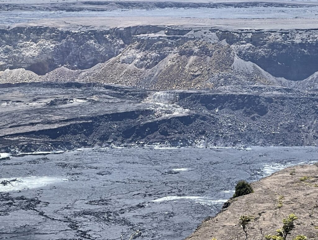
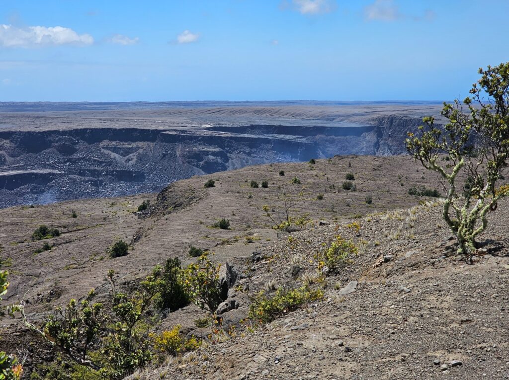
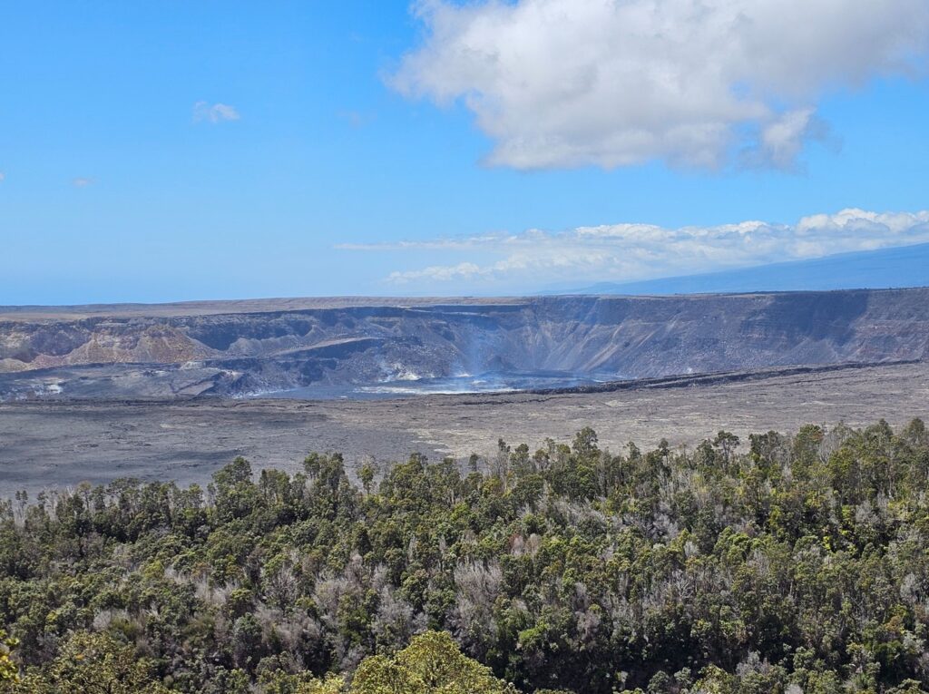
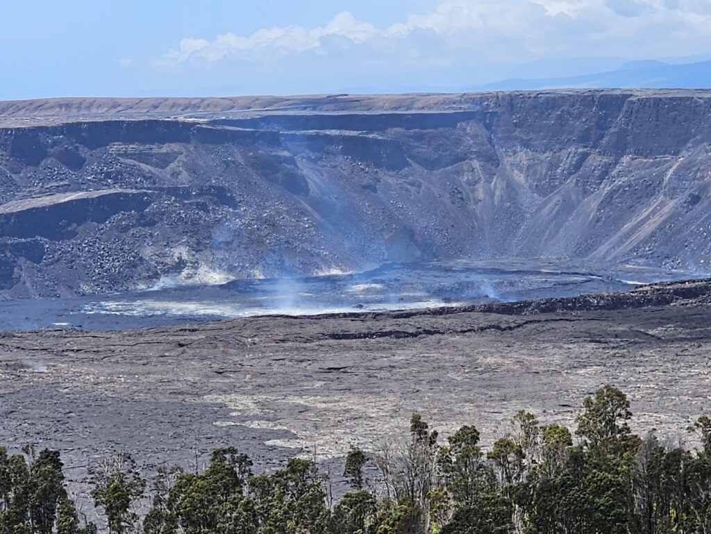
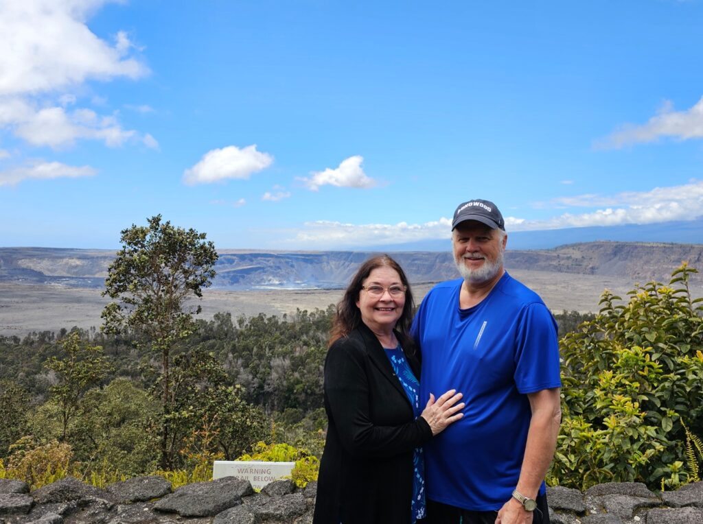
There are two active volcanoes in the Hawai’i Volcanoes National Park – Mauna Loa and Kilauea. Much of Mauna Loa is closed to visitors due to recent eruption. Kilauea last erupted in October 2023, but there is still a lot of smoke coming out of the crater.This is the state flag of Hawai’i. The Union Jack (British flag) is used because Britain supported King Kamehameha I when he united the Hawaiian islands in 1793. The eight stripes represent the eight major islands of Hawai’i.These are steam vents. The early morning was very dark and rainy, which accented the steam.More steam vents.This is the northern edge of the Halema‘Uma‘U Crater on the Kilauea volcano. Here also, the steam is more pronounced because of the cool, dark and rainy weather.The center of Halema‘Uma‘U Crater.Looking toward the southern rim of Halema‘Uma‘U Crater.This is the entrance to the Thurston Lava Tube.The tube is fairly tall – I did not have to crouch at all to walk through the tube.Just enough light to see my way through the tube.Kilauea Iki crater.Close up of Kilauea Iki crater.Hikers in the Kilauea Iki crater.After the sun came out, we went back to the Halema‘Uma‘U Crater. With the sun out and temperature rising, the smoke was not as pronounced.Close up of Halema‘Uma‘U Crater.Southern rim of Halema‘Uma‘U Crater.From the Volcano House, to the northeast of the Kilauea caldera, this was a pretty impressive view of Halema‘Uma‘U Crater.Zooming in to Halema‘Uma‘U Crater from Volcano House.We were here!
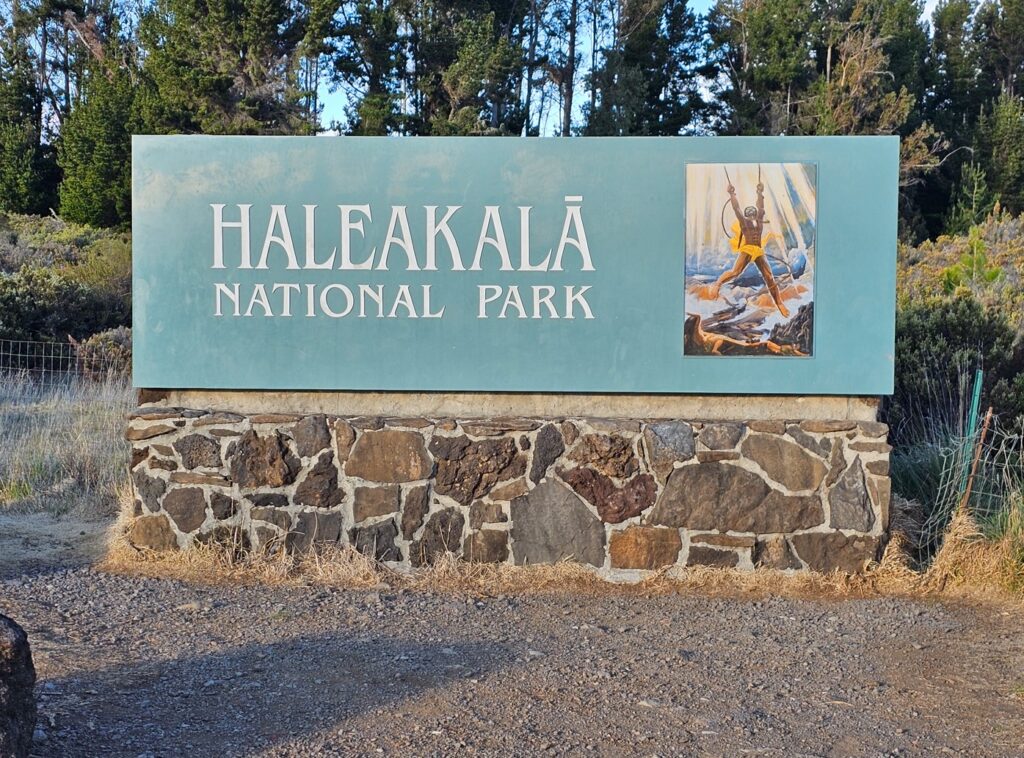
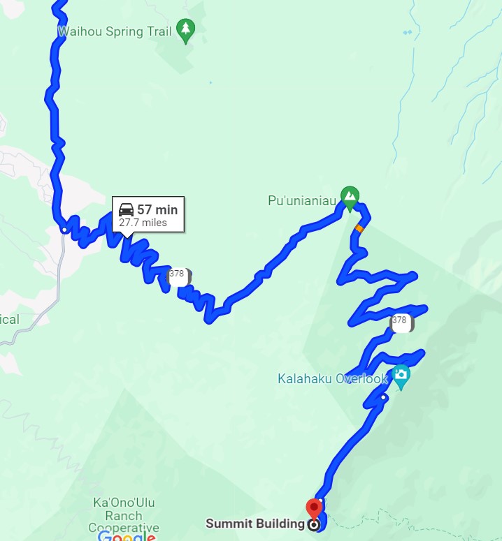
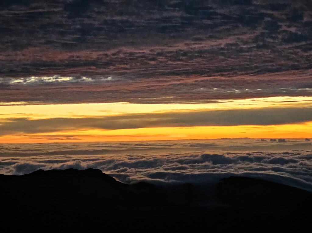
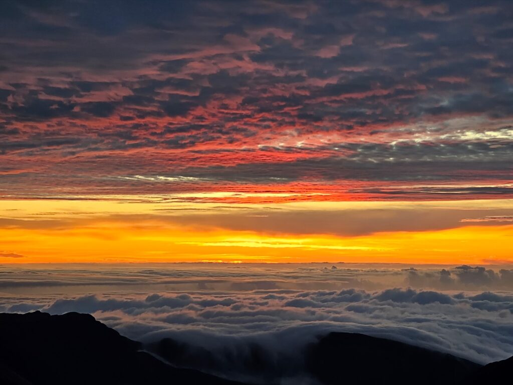
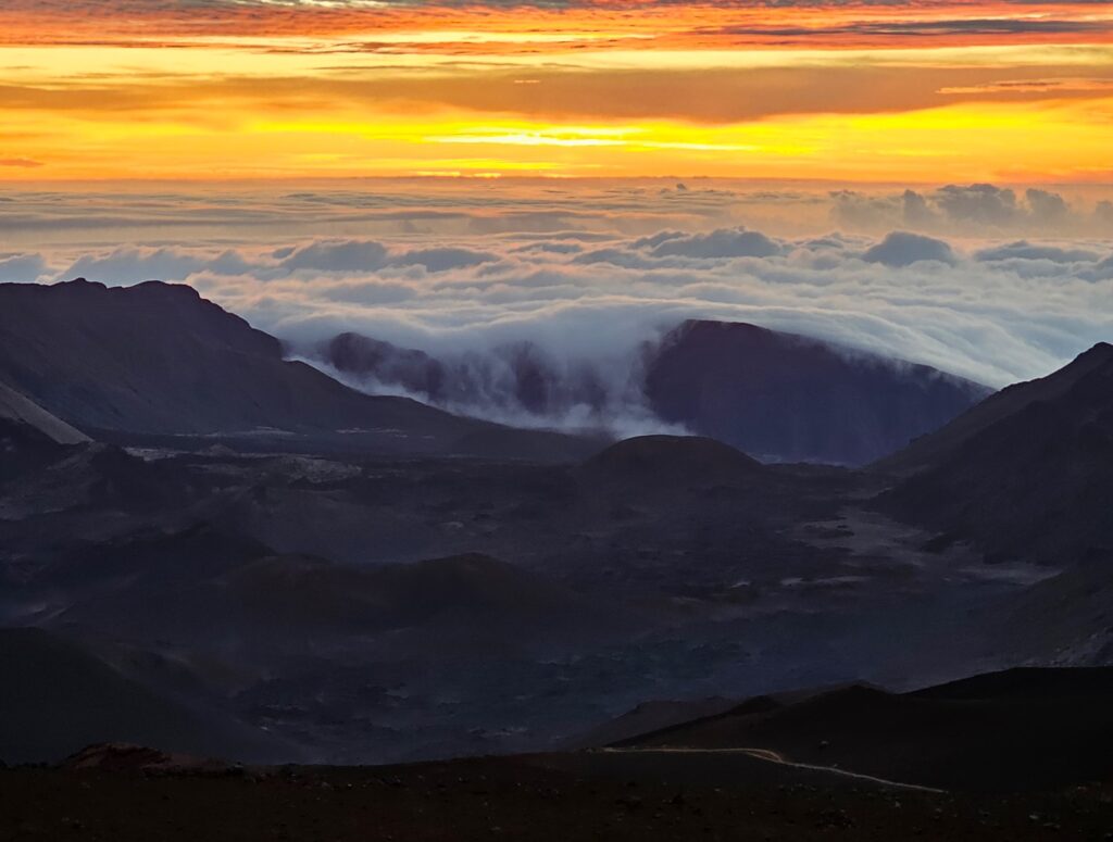
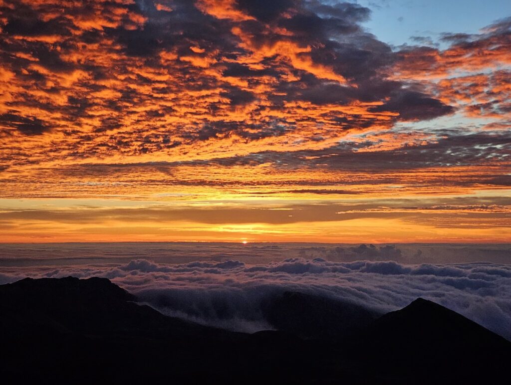
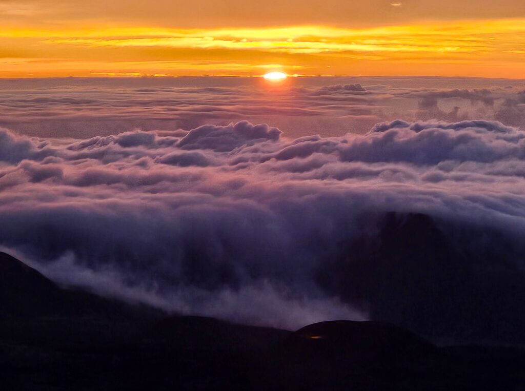
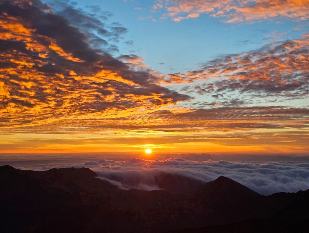
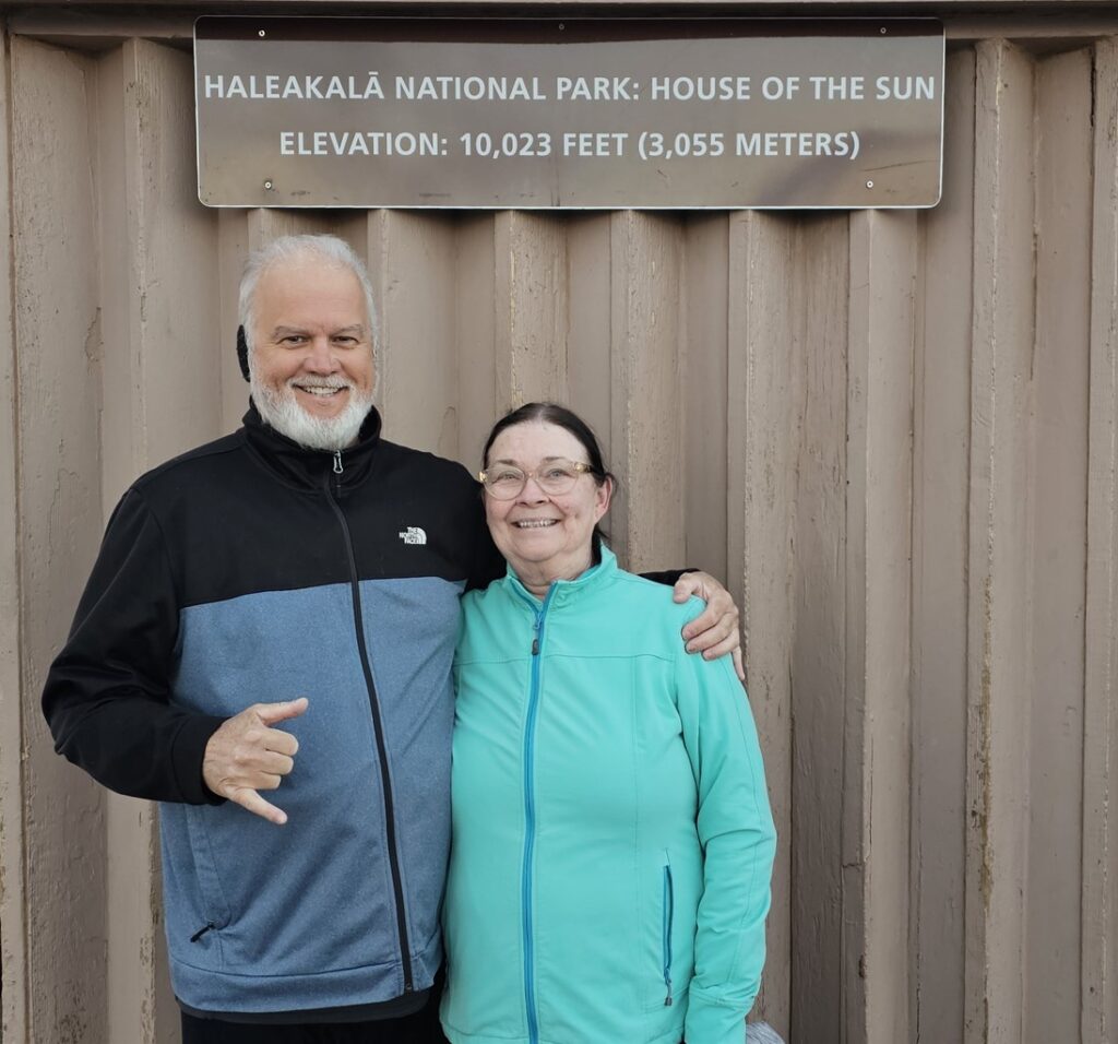
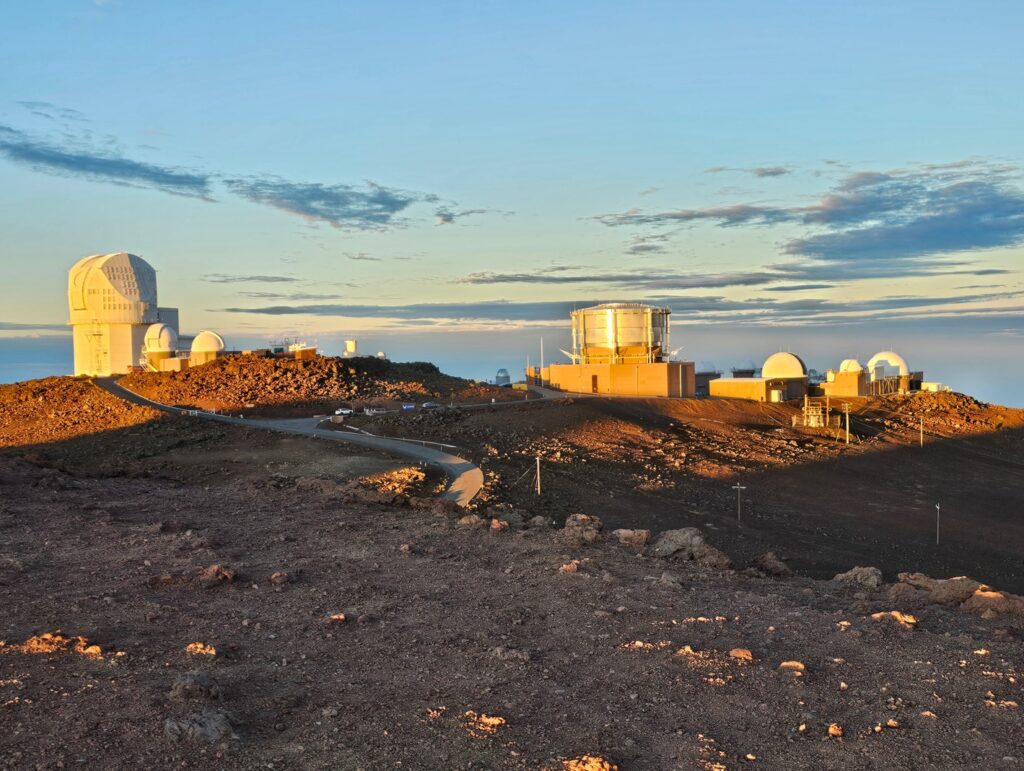
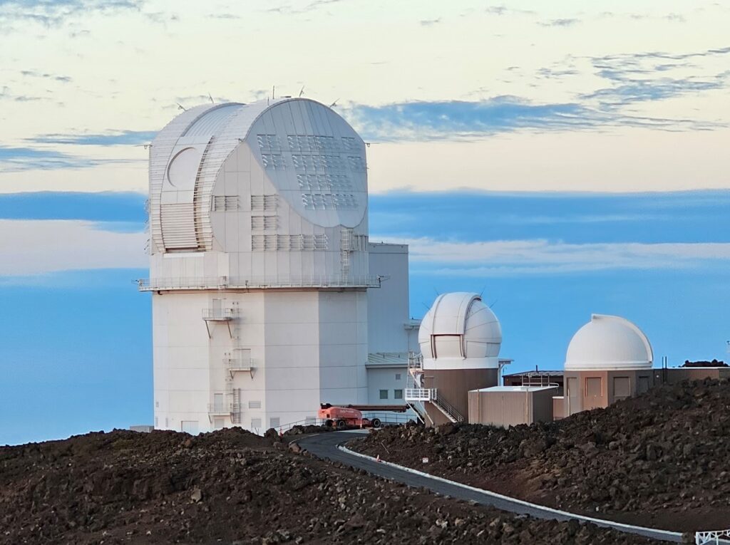
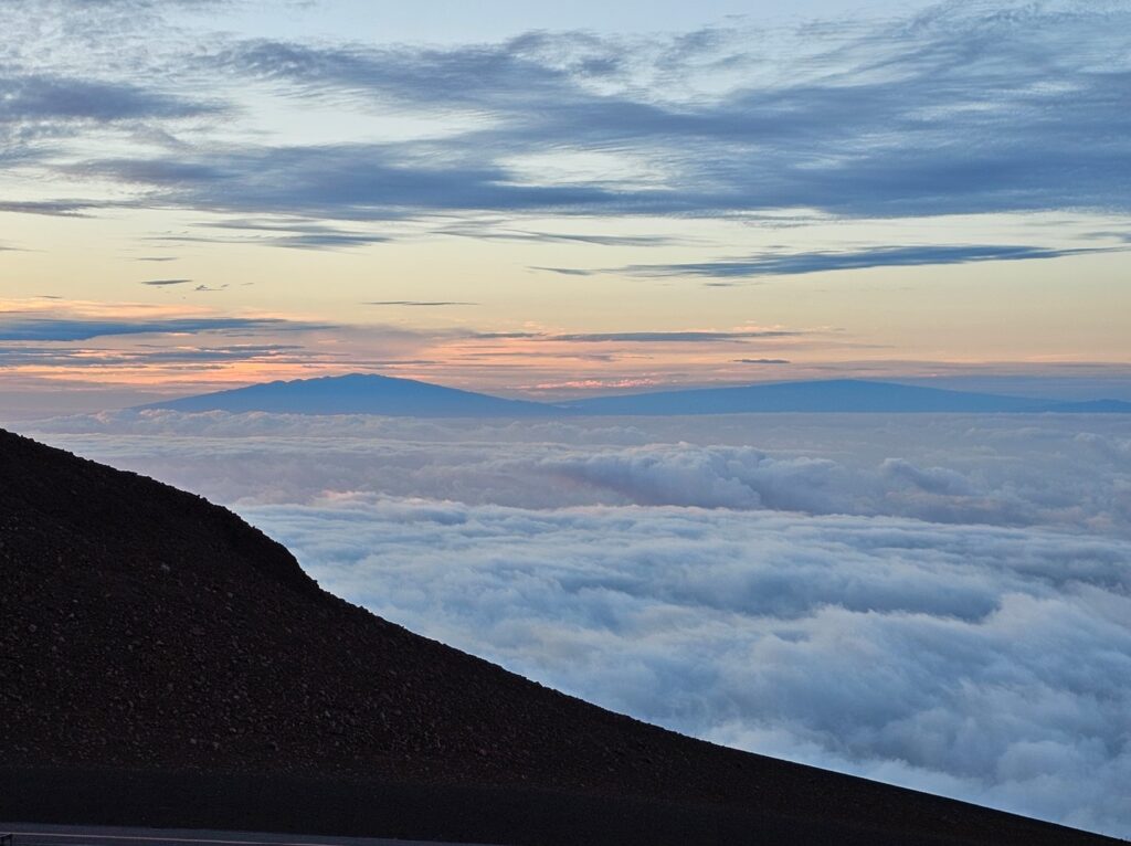
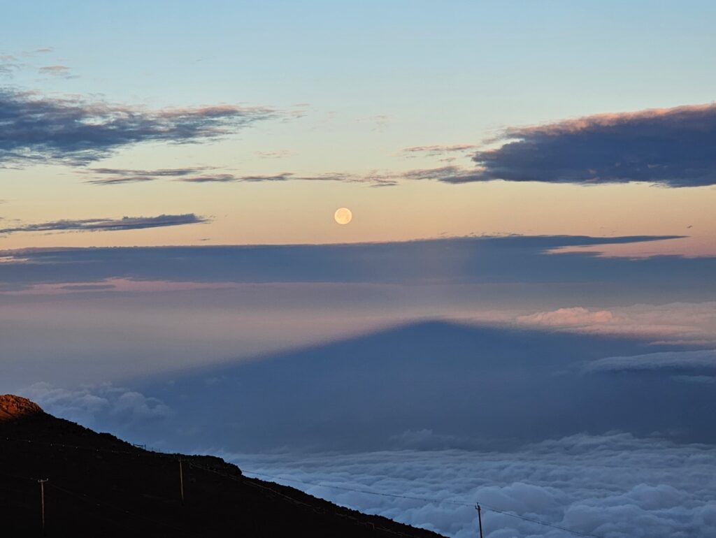
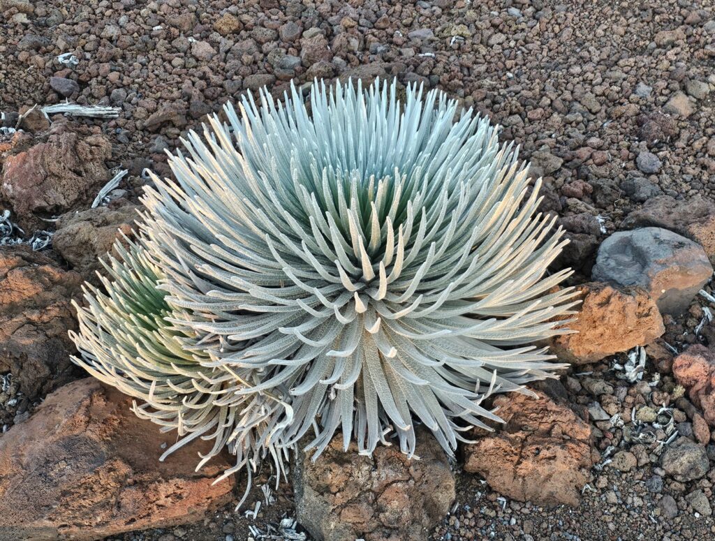
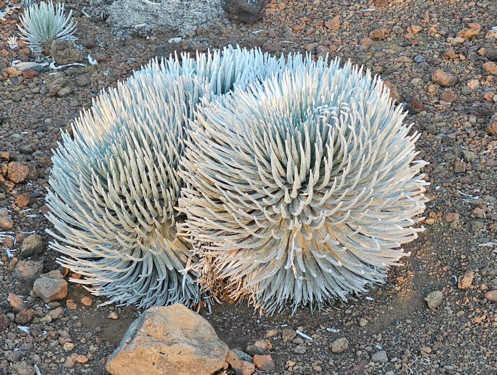
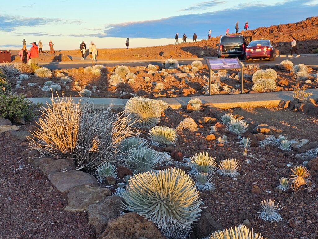
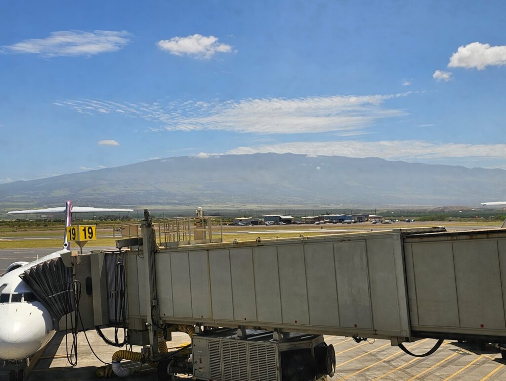
Going to the summit of Haleakalā is supposed to be an amazing experience, and being at the summit to watch the sunrise is the #1 thing to do on the island of Maui. So we left our B&B at 1:30 AM to drive 3+ hours to get a good spot. Sunrise was expected at 6:20 AM.This is the route we drove to get to the top of Haleakalā. The payoff was worth it!This is the view from the summit of Haleakalā at 5:40 AM.6:02 AM.6:14 AM.Clouds look like water rushing over the hilltops.6:19 AM – sunrise! This is Psalm 19:1 – The heavens declare the glory of God, and the sky above proclaims his handiwork. Perfect!6:21 AM.Observatories at the Haleakalā summit.Daniel K. Inouye Solar Telescope.In the distance, Mauna Kea (left) and Mauna Loa on the island of Hawai’i.The moon sets in the west as the sun rises over Haleakalā. You can see Haleakalā’s shadow in this picture.One of the views as we descend Haleakalā.Silverswords are extremely rare, and they are found only on the summit areas of Haleakalā, Mauna Kae and Mauna Loa. They live between 3 and 90 years or more. They flower once, sending up a spectacular flowering stalk, and then die soon afterward, scattering drying seeds to the wind. They are quite striking with their silvery leaves.Mauna Kea from the Kahului airport.